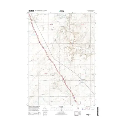
2014 Map of Sterling
USGS Topo · Published 2014About this map
Sterling serves as the primary hub of activity in this part of Arenac County, where the settlement's core is marked by the Saint George Ch and the nearby Sterling Cem. To the north, the small community of Melita sits near the winding path of the Rifle River, a central hydrologic feature that cuts through the landscape alongside various tributaries like Burch Cr and Richter Cr. The southern reaches of the map show the transition toward Morres Junction, positioned near the Middle Br Pine River and North Br Pine River.
Find a feature on this map
84 named features on this map. Tap any name to fly to it.
Don’t see what you’re looking for? This feature index may not catch every label — zoom into the map to look around manually.
Map Details
Editions of this 2014 Sterling Map
This is the sole edition of this map. No revisions or reprints were ever made.
Other maps of this area

1954 · Traverse City
USGS Topo · 1:250,000

1954 · Midland
USGS Topo · 1:250,000

1954 · Flint
USGS Topo · 1:250,000

1954 · Tawas City
USGS Topo · 1:250,000

1958 · Traverse City
USGS Topo · 1:250,000

1958 · Flint
USGS Topo · 1:250,000

1958 · Tawas City
USGS Topo · 1:250,000

1958 · Midland
USGS Topo · 1:250,000

1959 · Midland
USGS Topo · 1:250,000

1966 · Midland
USGS Topo · 1:250,000