Old Maps of Watton, Michigan for Metal Detecting
Plan your next treasure hunt with 13 historic maps of Watton. Find old homesites, ghost towns, trails, and gathering spots that may be lost to time — perfect for identifying promising metal detecting locations.
- Locate forgotten sites: Uncover places like long-lost settlements, abandoned rail lines, or gathering spots.
- Plan better hunts: Use map overlays combined with LiDAR or satellite views to narrow in on historically rich areas.
- Made for detectorists: Thousands of hobbyists use these maps to discover relics, coins, and hidden history.
Use these historic maps to boost your research and find new opportunities beneath the surface of Watton.
Watton, MI maps
(13)- 1954 Map of Sidnaw, 1956 Print
 1954 Sidnaw1956 Print · USGSUpper Peninsula timber and rail country come to life in this mid-century survey of the Baraga County highlands. Researchers can trace the junction of two major railroads and locate local landmarks like the Covington Cem, Sturgeon Falls, and the Prickett Dam.2 unique versions available
 - 1958 Map of Iron River, 1968 Print
 1958 Iron River1968 Print · USGSThe Upper Peninsula in the late fifties is captured here as a landscape of timber, iron, and rail. Genealogists and historians can trace rail stops like Mass Station or explore the coastlines of Lake Gogebic and Keweenaw Bay.3 unique versions available
 - 1960 Map of Iron River
 1960 Iron River1960 Print · USGSThe Upper Peninsula’s western reaches are shown in the late fifties, featuring the industrial infrastructure of the Copper Country and the vast Ottawa National Forest. Researchers can trace the rail lines of the Milwaukee Road through settlements like Bruce Crossing and the White Pine Mine.
 - 1961 Map of Iron River
 1961 Iron River1961 Print · USGSThe Upper Peninsula and northern Wisconsin are shown here in the early 1960s, a landscape defined by the iron range and vast timberlands. Researchers can trace the legacy of mining and rail transport through Caspian, the Lac Du Flambeau Indian Reservation, and the Milwaukee Road.
 - 1967 Map of Iron River, 1968 Print
 1967 Iron River1968 Print · USGSThe Upper Peninsula and northern Wisconsin borderlands are shown here in the late sixties, a landscape of deep woods and iron-country rail lines. Genealogists and historians can trace the lakeside settlements of L'Anse and Ontonagon or follow the Soo Line through towns like Michigamme and Nestoria.
 - 1985 Map of Covington, 1986 Print
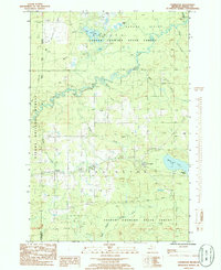 1985 Covington1986 Print · USGSThe Baraga County timberlands near Covington and Watton are captured here in the mid-1980s. Local researchers can trace river networks from Tibbetts Falls to Worm Lake or locate specific landmarks like the local Cem and Ski Lift.
 - 1991 Map of L'Anse
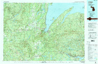 1991 L'Anse1991 Print · USGSUpper Peninsula life in the early nineties centered on the waters of Keweenaw Bay and the timber-rich highlands of the Huron Mountains. Genealogists and researchers can trace the rail-and-road connections between L'Anse, Baraga, and smaller communities like Pequaming and Assinins.2 unique versions available
 - 1999 Map of Covington, 2004 Print
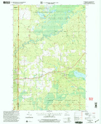 1999 Covington2004 Print · USGSCovington and Watton are documented here in the late twentieth century as the surrounding state and national forests underwent management revisions. Researchers can trace the path of the North Country National Scenic Trail and locate local landmarks like Worm Lake and Tibbetts Falls.
 - 2011 Map of Covington, 2011 Print
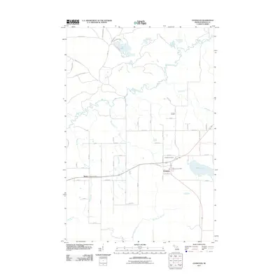 2011 Covington2011 Print · USGSCovington and Watton are shown in this modern survey of the Michigan woods just after the first decade of the millennium. Researchers can locate family heritage sites like Covington Cemetery and the Watton Post Office, or trace the path of the Sturgeon River.
 - 2014 Map of Covington, 2014 Print
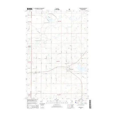 2014 Covington2014 Print · USGSUpper Peninsula timberlands and rural settlements come into focus in this mid-2010s survey of Baraga County. Genealogists and hikers can trace family roads near Watton or follow the N Country National Scenic Trail past Tibbetts Falls.
 - 2017 Map of Covington, 2017 Print
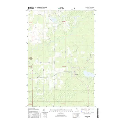 2017 Covington2017 Print · USGSUpper Peninsula timberlands and Scandinavian heritage define this area near the Ottawa National Forest. Genealogists and hikers can trace family-named points like Kauranen or follow the N Country National Scenic Trail past Tibbets Falls.
 - 2019 Map of Covington, 2019 Print
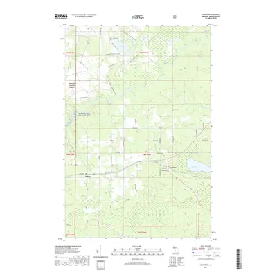 2019 Covington2019 Print · USGSCovington and the surrounding Baraga County timberlands are captured here in the late twenty-teens. Genealogists and local historians can trace family-named areas like Syrjala and Nurmela or locate the Covington Cem near the banks of Worm Lake.
 - 2023 Map of Covington, 2023 Print
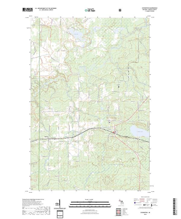 2023 Covington2023 Print · USGSUpper Peninsula history comes alive in this survey of Baraga County, where the Sturgeon River winds past clusters of family-named settlements. Genealogists can trace property locations near Covington, Watton, and the Covington Cem, as well as legacy sites like Syrjala and Kauranen.
End of results
Showing maps 1-13 of 13
Top cities near Watton
Frequently asked questions
- What are the different types of historical maps available for Watton?
- What is the oldest map of Watton?
- Where can I purchase historical maps of Watton for my home or office?
- Where can I download high-res historical maps of Watton?
- Are there historical topographic maps available for Watton?
- Is there historical aerial imagery available for Watton?
- Where are historical maps of Watton sourced from?