Old Maps of Hastings Township, Michigan for Metal Detecting
Plan your next treasure hunt with 31 historic maps of Hastings Township. Find old homesites, ghost towns, trails, and gathering spots that may be lost to time — perfect for identifying promising metal detecting locations.
- Locate forgotten sites: Uncover places like long-lost settlements, abandoned rail lines, or gathering spots.
- Plan better hunts: Use map overlays combined with LiDAR or satellite views to narrow in on historically rich areas.
- Made for detectorists: Thousands of hobbyists use these maps to discover relics, coins, and hidden history.
Use these historic maps to boost your research and find new opportunities beneath the surface of Hastings Township.
Hastings Township, MI maps
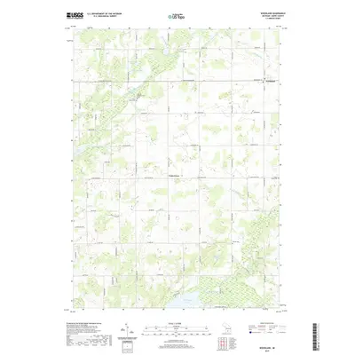
(31)- 1950 Map of Nashville, 1967 Print
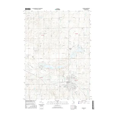
 1950 Nashville1967 Print · USGSThe Thornapple River valley in the mid-twentieth century shows a landscape of rail-connected villages and rural school districts. Genealogists can locate family landmarks like Woodlawn Cem, McKelvey Sch, and the New York Central rail line.
 - 1951 Map of Nashville
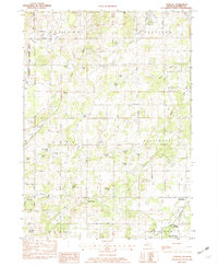
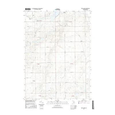
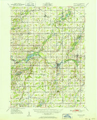 1951 Nashville1951 Print · USGSThe rural landscape of Barry and Eaton Counties in the early 1950s reveals a dense network of family-named landmarks and country schools. Genealogists can trace local roots through numerous sites like Woodland Cem, Quail Trap Sch, and the settlement of Coats Grove.2 unique versions available
 - 1951 Map of Hastings, 1953 Print
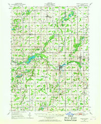
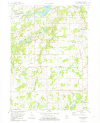
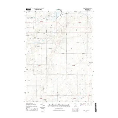
 1951 Hastings1953 Print · USGSHastings and the Thornapple River valley are captured here in the early fifties during a period of steady rural growth. Genealogists and historians can locate dozens of country schools like Little Brick Sch and cemeteries such as Brush Ridge Cem or Jesuit Cem.5 unique versions available
 - 1958 Map of Grand Rapids, 1973 Print
 1958 Grand Rapids1973 Print · USGSSouthern Michigan at the peak of the postwar era shows a landscape of burgeoning cities and new interstate highways. Trace family roots and regional growth in Grand Rapids, Battle Creek, and the glacial lake country around Gun Lake or Gull Lake.2 unique versions available
 - 1961 Map of Grand Rapids
 1961 Grand Rapids1961 Print · USGSSouthern Michigan at the dawn of the 1960s reveals a region shaped by major river systems and a robust rail network. Trace mid-century industrial growth and land use from Grand Rapids to the Fort Custer Military Reservation and Gun Lake.
 - 1962 Map of Grand Rapids
 1962 Grand Rapids1962 Print · USGSMid-century Southern Michigan is mapped here at a time of massive growth, showing the expanding urban footprints of Grand Rapids and Lansing. Researchers can trace the legacy of the Grand Trunk Western RR, find historic boundaries of the Fort Custer Military Reservation, or locate sporting camps around Gun Lake.2 unique versions available
 - 1981 Map of Woodland
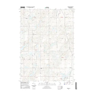
 1981 Woodland1981 Print · USGSThe rural countryside of Barry County is captured here in the early eighties, centered on the village of Woodland. Researchers can trace old family sites and local landmarks like Wood Grove Church, Fuller Cemetery, and the Grange Hall.
 - 1981 Map of Maple Grove
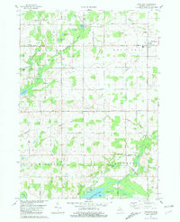
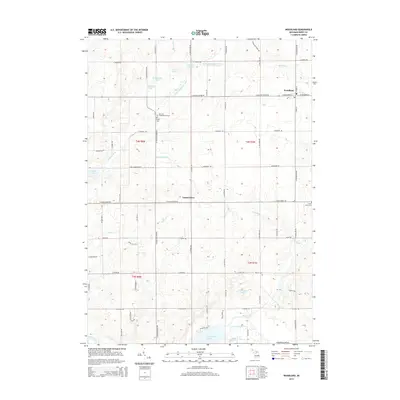
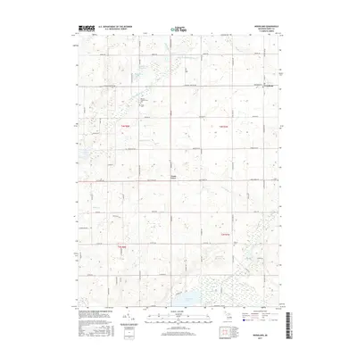
 1981 Maple Grove1981 Print · USGSBarry County in the early eighties shows a landscape of river-fed townships and tight-knit rural communities. Researchers can locate family landmarks like the Maple Leaf Grange Hall, Union Cem, and the old settlement at Quimby.
 - 1982 Map of Dowling
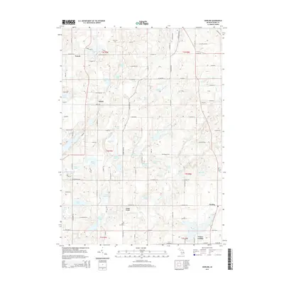
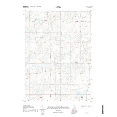
 1982 Dowling1982 Print · USGSBarry County in the early 1980s reveals a landscape of small settlements and glacial basins. Researchers can trace the layout of Dowling and Podunk, find family plots at Dowling Cem, or locate landmarks like the Wesleyan Conference Grounds.
 - 1982 Map of Hastings
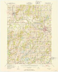
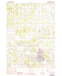 1982 Hastings1982 Print · USGSHastings and the surrounding Barry County townships are shown here in the early eighties as a hub of river-fronting industry and lakeside recreation. Genealogists and local researchers can locate family sites near Welcome Corners, Carlton Center, and the historic Riverside Cem.
 - 1984 Map of Grand Rapids
 1984 Grand Rapids1984 Print · USGSWest Michigan in the mid-eighties shows a thriving metropolitan core surrounded by expansive state recreation areas and river valleys. Genealogists and local historians can trace developments around Grand Rapids, institutional landmarks like Grand Rapids Bible College, and the quiet reaches of Jordan Lake.
 - 2011 Map of Maple Grove, 2011 Print
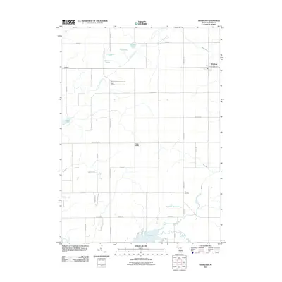
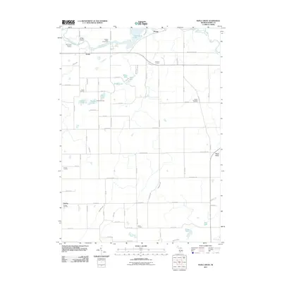 2011 Maple Grove2011 Print · USGSCovers Hastings Township, including Baltimore Township, Johnstown Township, and other nearby areas
 - 2011 Map of Hastings, 2011 Print
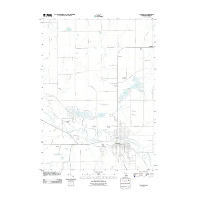 2011 Hastings2011 Print · USGSCovers Hastings Township, including Hastings, Carlton, and other nearby areas
 - 2011 Map of Woodland, 2011 Print
 2011 Woodland2011 Print · USGSCovers Hastings Township, including Woodland, Woodland Township, and other nearby areas
 - 2011 Map of Dowling, 2011 Print
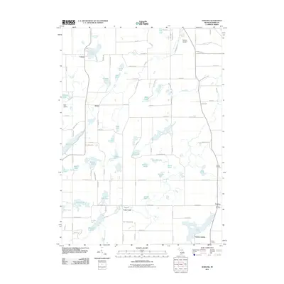 2011 Dowling2011 Print · USGSCovers Hastings Township, including Baltimore Township, Johnstown Township, and other nearby areas
 - 2014 Map of Hastings, 2014 Print
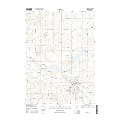 2014 Hastings2014 Print · USGSCovers Hastings Township, including Hastings, Carlton, and other nearby areas
 - 2014 Map of Maple Grove, 2014 Print
 2014 Maple Grove2014 Print · USGSCovers Hastings Township, including Baltimore Township, Johnstown Township, and other nearby areas
 - 2014 Map of Dowling, 2014 Print
 2014 Dowling2014 Print · USGSCovers Hastings Township, including Baltimore Township, Johnstown Township, and other nearby areas
 - 2014 Map of Woodland, 2014 Print
 2014 Woodland2014 Print · USGSCovers Hastings Township, including Woodland, Woodland Township, and other nearby areas
 - 2017 Map of Dowling, 2017 Print
 2017 Dowling2017 Print · USGSCovers Hastings Township, including Baltimore Township, Johnstown Township, and other nearby areas
 - 2017 Map of Maple Grove, 2017 Print
 2017 Maple Grove2017 Print · USGSCovers Hastings Township, including Baltimore Township, Johnstown Township, and other nearby areas
 - 2017 Map of Woodland, 2017 Print
 2017 Woodland2017 Print · USGSCovers Hastings Township, including Woodland, Woodland Township, and other nearby areas
 - 2017 Map of Hastings, 2017 Print
 2017 Hastings2017 Print · USGSCovers Hastings Township, including Hastings, Carlton, and other nearby areas
 - 2019 Map of Dowling, 2019 Print
 2019 Dowling2019 Print · USGSCovers Hastings Township, including Baltimore Township, Johnstown Township, and other nearby areas
 - 2019 Map of Woodland, 2019 Print
 2019 Woodland2019 Print · USGSCovers Hastings Township, including Woodland, Woodland Township, and other nearby areas
Showing maps 1-25 of 31
Top cities near Hastings Township
- Cascade Charter Township historical maps
- Hastings historical maps
- Lowell Charter Township historical maps
- Prairieville historical maps
- Irving historical maps
- Middleville historical maps
See more
Top neighborhoods of Hastings Township
Frequently asked questions
- What are the different types of historical maps available for Hastings Township?
- What is the oldest map of Hastings Township?
- Where can I purchase historical maps of Hastings Township for my home or office?
- Where can I download high-res historical maps of Hastings Township?
- Are there historical topographic maps available for Hastings Township?
- Is there historical aerial imagery available for Hastings Township?
- Where are historical maps of Hastings Township sourced from?