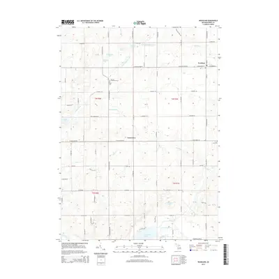
2014 Map of Woodland
USGS Topo · Published 2014About this map
Woodland and the smaller settlement of Coats Grove anchor this 2014 survey of central Michigan, where the landscape is defined by a dense network of glacial lakes and river systems. The Thornapple River and Little Thornapple River wind through the terrain, connecting water bodies such as Thornapple Lake and Cloverdale Lake. Local family and community history is preserved in several small burial grounds, including the Barnum Neighborhood Cem, Fuller Cem, and Warner Cem, providing essential landmarks for genealogists.
Find a feature on this map
73 named features on this map. Tap any name to fly to it.
Don’t see what you’re looking for? This feature index may not catch every label — zoom into the map to look around manually.
Map Details
Editions of this 2014 Woodland Map
This is the sole edition of this map. No revisions or reprints were ever made.
Other maps of this area

1916 · Ionia
USGS Topo · 1:62,500

1918 · Ionia
USGS Topo · 1:62,500

1918 · Lowell
USGS Topo · 1:62,500

1943 · Ionia
USGS Topo · 1:62,500

1943 · Lowell
USGS Topo · 1:62,500

1950 · Nashville
USGS Topo · 1:62,500

1951 · Nashville
USGS Topo · 1:62,500

1951 · Hastings
USGS Topo · 1:62,500

1958 · Grand Rapids
USGS Topo · 1:250,000

1961 · Grand Rapids
USGS Topo · 1:250,000