1960s Maps of Bay County, Michigan
Explore 18 historic maps of Bay County from the 1960s. These maps offer a rare glimpse into what life looked like during the 1960s — showing old roads, neighborhoods, homes, and landmarks that have changed or disappeared over time.
Whether you're researching your family's past, planning a metal detecting trip, or studying how Bay County's landscape evolved across the 1960s, these high-resolution maps are a powerful tool for exploring the history of this region.
- Focus on a specific era: All maps on this page are from the 1960s, giving you a focused view of this time period.
- See what’s changed: Compare century-old streets, trails, and buildings to today's modern landscape using overlays and satellite layers.
- Research with precision: Use these maps for genealogy, historical research, land use analysis, or educational projects.
- View, download, or print: Maps are fully viewable online in high resolution, and can be downloaded or printed for your own records.
Start exploring Bay County's history through authentic maps from the 1960s. This is your window into the past.
Bay County, MI maps
(18)- 1962 Map of Willard, 1964 Print
 1962 Willard1964 Print · USGSBay County's rural heartland is meticulously detailed in the early sixties, showing the agricultural grids and vital drainage networks of Willard and Lambert. Researchers can trace local genealogy through sites like Zion Cem and Three Churches Corner, or locate historic schoolhouses such as Oxbow Sch.2 unique versions available
 - 1962 Map of Midland South, 1964 Print
 1962 Midland South1964 Print · USGSMidland and the Tittabawassee River valley are caught in a period of mid-century industrial and suburban growth. Researchers can trace the footprints of smaller communities like Poseyville and Mapleton or locate the Pine Grove Cem and Church of God.4 unique versions available
 - 1962 Map of Midland North, 1964 Print
 1962 Midland North1964 Print · USGSMidland and its northern rural townships are captured here in the early sixties as suburban neighborhoods began to meet the industrial salt-brine fields. Genealogists can locate many local landmarks, from Calvary Cem to country schools like Cassidy Sch and Leiphart Sch.2 unique versions available
 - 1962 Map of Auburn, 1964 Print
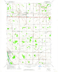 1962 Auburn1964 Print · USGSMid-century Bay and Saginaw Counties come to life in this detailed record of the region's agricultural and aviation growth. Researchers can trace family roots at Township Cemetery or locate the old Grace School and Tri-City Airport.2 unique versions available
 - 1963 Map of Quanicassee, 1964 Print
 1963 Quanicassee1964 Print · USGSThe southern shores of Saginaw Bay come into focus in the early sixties, showing a landscape shaped by coastal marshes and a grid of rural roads. Genealogists and local historians can locate the Van Buren Sch, Mitchell Sch, and the community of Quanicassee at the river's mouth.2 unique versions available
 - 1963 Map of Reese, 1964 Print
 1963 Reese1964 Print · USGSMid-Michigan's agricultural heartland is documented here in the early sixties at the intersection of the New York Central and Chesapeake and Ohio railroads. Genealogists and historians can trace local landmarks from Blumfield Corners to Richville, including family-named drains and the St Elizabeth Cem.2 unique versions available
 - 1966 Map of Midland
 1966 Midland1966 Print · USGSCentral Michigan in the mid-1960s shows a landscape of growing manufacturing hubs and active resource extraction. Genealogists and historians can trace the rail corridors of the Grand Trunk Western or locate family-named landmarks near Oil wells and the Muskegon River.
 - 1967 Map of Essexville, 1968 Print
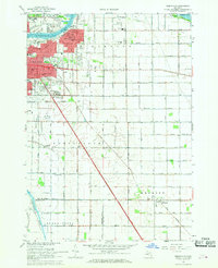 1967 Essexville1968 Print · USGSLate 1960s Essexville and Bay City appear at the height of their mid-century industrial development along the Saginaw River. Genealogists and local historians can locate several parish schools and historic burial grounds, such as St Patrick Cem and Elm Lawn Cemetery.3 unique versions available
 - 1967 Map of Mount Forest, 1969 Print
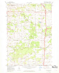 1967 Mount Forest1969 Print · USGSBay and Arenac counties appear here in the late sixties, showing a landscape defined by drainage canals and the regional oil industry. Genealogists can trace family roots through settlements like Johnsfield and landmarks such as the Bethlehem Ch and Mount Forest.2 unique versions available
 - 1967 Map of Saginaw NE, 1969 Print
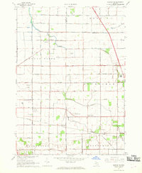 1967 Saginaw NE1969 Print · USGSThe Saginaw Valley in the late sixties shows a landscape defined by industrial growth and deep-rooted farming communities. Genealogists and researchers can trace local roots through landmarks like St Matthew Ch, the settlement of Frankentrost, and the Buena Vista Cem.2 unique versions available
 - 1967 Map of Bay City NE, 1969 Print
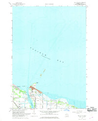 1967 Bay City NE1969 Print · USGSSaginaw Bay's industrial and recreational shoreline comes alive in the 1960s as it transitions from busy river channels to protected wildlife areas. Genealogists and historians can trace the rail lines of the Chesapeake and Ohio and the settlement at Aplin Beach.2 unique versions available
 - 1967 Map of Crump, 1969 Print
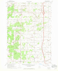 1967 Crump1969 Print · USGSBay County's agricultural heartland is documented in the late sixties, showing the rural townships of Mount Forest and Pinconning. Genealogists can locate St Marys Cemetery, Garfield-Fraser School, and early settlements like Crump or Woodville.2 unique versions available
 - 1967 Map of Pinconning, 1969 Print
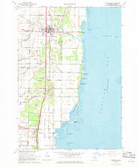 1967 Pinconning1969 Print · USGSThe Saginaw Bay shoreline comes to life in the late sixties as a hub of rail activity and lakeside recreation. Researchers can trace the dual routes of the Penn Central Railroad and the Detroit and Mackinac Railroad or locate local landmarks like St Michaels Cem.2 unique versions available
 - 1967 Map of Kawkawlin, 1969 Print
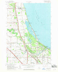 1967 Kawkawlin1969 Print · USGSSaginaw Bay's shoreline in the late sixties is a mix of growing beach communities and vast protected wetlands. You can trace family roots at St Ann Cem, locate old schoolhouses like Townhall Sch, or follow the Penn Central rail lines through Linwood.3 unique versions available
 - 1967 Map of Standish, 1969 Print
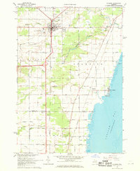 1967 Standish1969 Print · USGSStandish at the close of the 1960s serves as a busy crossroads for the Detroit and Mackinac and Penn Central railroads. Genealogists can locate family names at Woodmere Cem and St Johns Cem, or trace the shoreline from Whites Beach to Saganing.3 unique versions available
 - 1967 Map of Bay City, 1969 Print
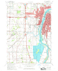 1967 Bay City1969 Print · USGSBay City and the Saginaw River valley are captured here in the late sixties during a period of suburban expansion and industrial transition. Researchers can locate numerous parochial schools like St Stanislaus Sch, family plots at Oak Ridge Cemetery, and the early campus of Saginaw Valley College.2 unique versions available
 - 1969 Map of Bentley, 1972 Print
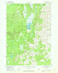 1969 Bentley1972 Print · USGSGladwin County's timberlands and river valleys are captured here in the late sixties as the local economy balanced forestry and oil. Genealogists can locate family sites near Bentley, Rhodes, and the New Rhodes Cem, or trace the Old Railroad Grade through the forest.
 - 1969 Map of Estey, 1972 Print
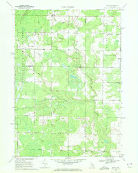 1969 Estey1972 Print · USGSThe Michigan backcountry at the junction of Gladwin and Midland counties comes alive in this late-sixties survey. Genealogists and local historians can trace family-named roads and landmarks like Mills Sch, Bethel Ch, and an Old Railroad Grade.
End of results
Showing maps 1-18 of 18
Top cities of Bay County
Frequently asked questions
- What are the different types of historical maps available for Bay County?
- What is the oldest map of Bay County?
- Where can I purchase historical maps of Bay County for my home or office?
- Where can I download high-res historical maps of Bay County?
- Are there historical topographic maps available for Bay County?
- Is there historical aerial imagery available for Bay County?
- Where are historical maps of Bay County sourced from?