2020s Maps of Bay County, Michigan
Explore 18 historic maps of Bay County from the 2020s. These maps offer a rare glimpse into what life looked like during the 2020s — showing old roads, neighborhoods, homes, and landmarks that have changed or disappeared over time.
Whether you're researching your family's past, planning a metal detecting trip, or studying how Bay County's landscape evolved across the 2020s, these high-resolution maps are a powerful tool for exploring the history of this region.
- Focus on a specific era: All maps on this page are from the 2020s, giving you a focused view of this time period.
- See what’s changed: Compare century-old streets, trails, and buildings to today's modern landscape using overlays and satellite layers.
- Research with precision: Use these maps for genealogy, historical research, land use analysis, or educational projects.
- View, download, or print: Maps are fully viewable online in high resolution, and can be downloaded or printed for your own records.
Start exploring Bay County's history through authentic maps from the 2020s. This is your window into the past.
Bay County, MI maps
(18)- 2023 Map of Bentley, 2023 Print
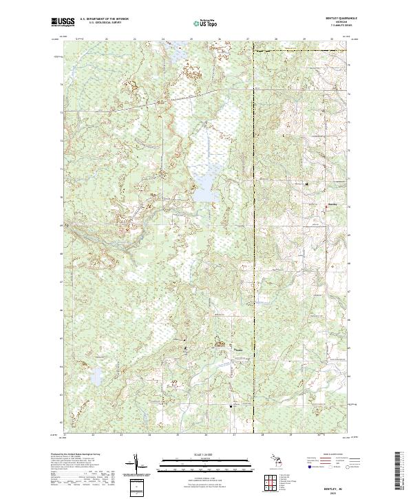 2023 Bentley2023 Print · USGSGladwin and Bay counties are shown in this modern survey as a landscape of managed wetlands and quiet rural settlements. Genealogists can trace family roots at Rhodes Cem, Bentley Cem, or the Hope Lutheran Cem near Bentley Marsh.
 - 2023 Map of Crump, 2023 Print
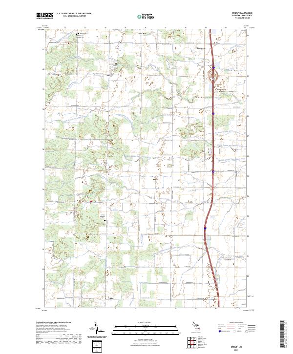 2023 Crump2023 Print · USGSBay County, Michigan, is shown here in the early 2020s, a rural landscape defined by the Pinconning River and an extensive network of drainage canals. Genealogists can trace local roots through Saint Marys Cem, Forest Hill Cem, and the village of Crump.
 - 2023 Map of Quanicassee OE N, 2023 Print
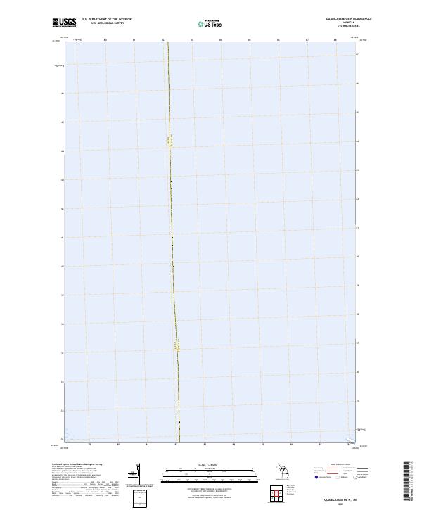 2023 Quanicassee OE N2023 Print · USGSSaginaw Bay dominates this modern coastal survey of the Michigan shoreline near the county line. Researchers can trace the administrative boundary of Bay Co Tuscola Co and examine the land segments in T14N R6E and T14N R7E.
 - 2023 Map of Bay City NE, 2023 Print
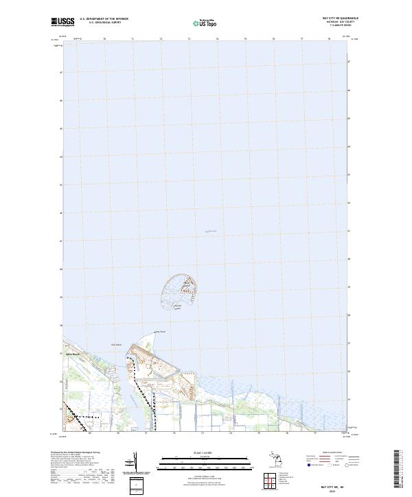 2023 Bay City NE2023 Print · USGSThe Saginaw Bay coastline in the early 2020s shows a unique mix of marshland islands and lakeside residential clusters. Local researchers can trace the modern layout of Aplin Beach or follow the Bay County Riverwalk Trl past Windy Point.
 - 2023 Map of Essexville, 2023 Print
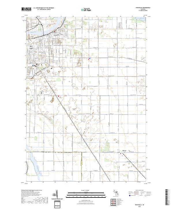 2023 Essexville2023 Print · USGSEssexville and the outskirts of Bay City are shown at the edge of the Saginaw Bay in this recent survey. Local historians can trace cemetery locations like Pine Ridge Cem or follow the paths of Cheboyganing Creek and Munger along the county line.
 - 2023 Map of Estey, 2023 Print
 2023 Estey2023 Print · USGSThe tri-county border of Midland, Gladwin, and Bay counties is captured in the early 2020s, showing a landscape defined by its rural drainage network. Researchers can trace land tracts near Estey and follow the paths of Chubb Drain and the Pinconning River.
 - 2023 Map of Kawkawlin, 2023 Print
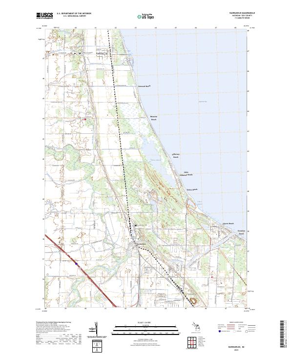 2023 Kawkawlin2023 Print · USGSThe western shoreline of Saginaw Bay comes into focus in this recent study of Michigan's coastal communities and wetlands. Genealogists and historians can locate family plots at Heavenly Rest Cem and trace the rail corridor of the Lake State Railway through Linwood.
 - 2023 Map of Pinconning, 2023 Print
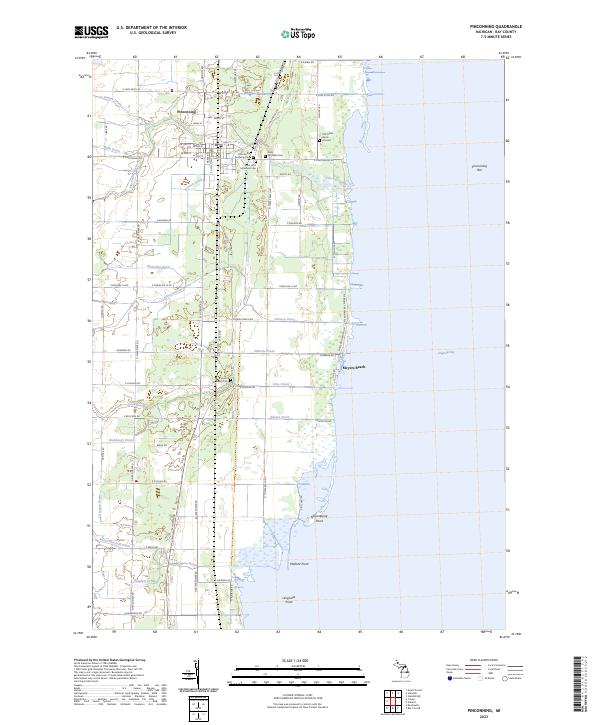 2023 Pinconning2023 Print · USGSCoastal Bay County is documented here in the early 2020s, showcasing the intersection of the Pinconning settlement and the Saginaw Bay shoreline. Genealogists and historians can locate the Old Indian Burial Ground, Saint John Memorial Cem, and the Lake State Railway corridor.
 - 2023 Map of Reese, 2023 Print
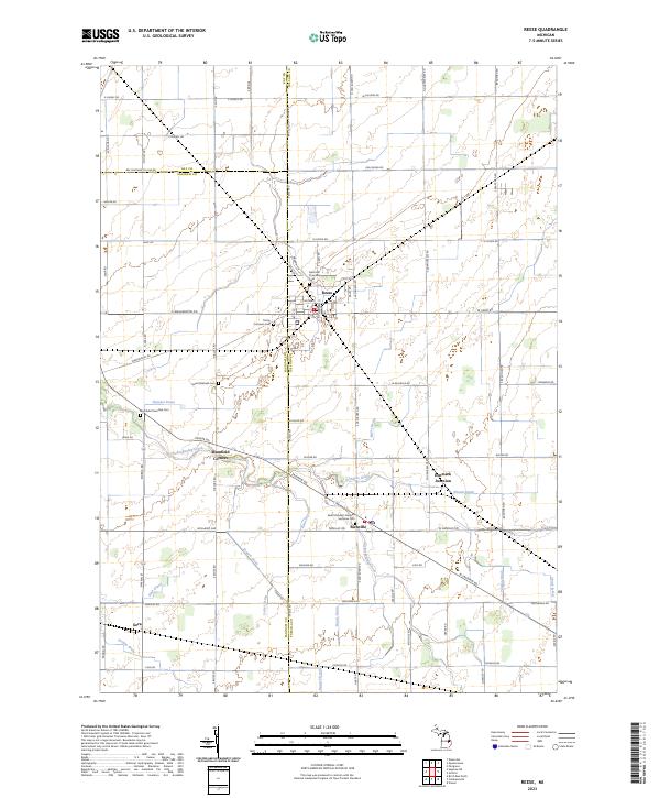 2023 Reese2023 Print · USGSThe agricultural heartland of the Michigan Thumb is documented here at the intersection of Tuscola and Saginaw counties. Genealogists and local historians can trace family roots through numerous sites like Denmark Township Cem, Blumfield Corners, and Richville.
 - 2023 Map of Quanicassee, 2023 Print
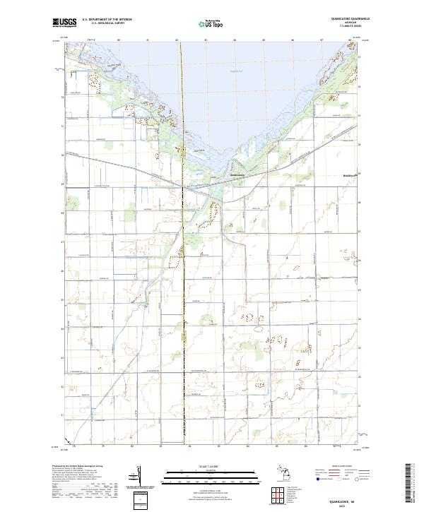 2023 Quanicassee2023 Print · USGSThe Saginaw Bay coastline near the Tuscola and Bay County line is shown here in the early 2020s, highlighting the unique wetland geography of the Quanicassee Marsh. Researchers can trace old thoroughfares like Old State Rd and locate landmarks such as Coryeon Point and the village of Quanicassee.
 - 2023 Map of Saginaw NE, 2023 Print
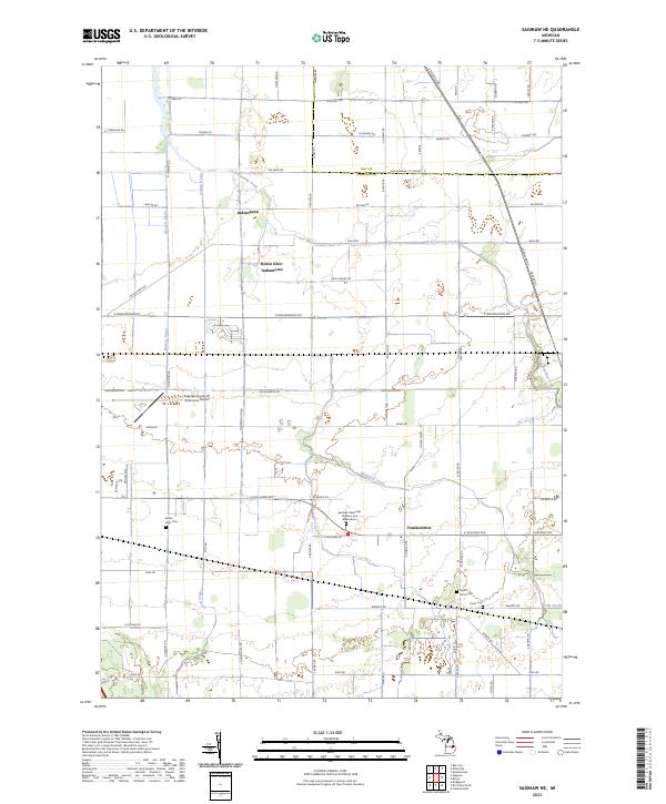 2023 Saginaw NE2023 Print · USGSSaginaw’s northeastern outskirts and the agricultural plains beyond are shown here in recent detail. Researchers can locate family landmarks at Buena Vista Cem and trace the drainage networks of Cheboyganing Creek and Blumfield Creek.
 - 2023 Map of Midland South, 2023 Print
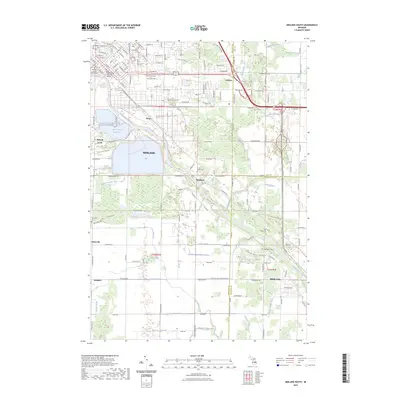 2023 Midland South2023 Print · USGSThe Tittabawassee River valley comes into focus during this contemporary survey of the Midland and Freeland areas. Genealogists can trace family heritage through the Arrance Family Cem and West Side Cem or locate old community hubs like Poseyville and Mapleton.
 - 2023 Map of Mount Forest, 2023 Print
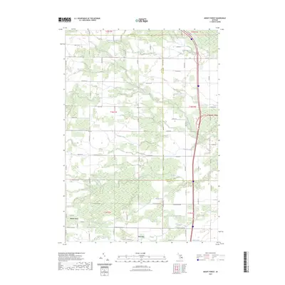 2023 Mount Forest2023 Print · USGSThe Arenac and Bay County border comes alive in this recent survey of the rural Michigan landscape. Researchers can trace the sophisticated network of historical water management and local travel routes, from Mount Forest and Nine Mile to White Feather Creek.
 - 2023 Map of Willard, 2023 Print
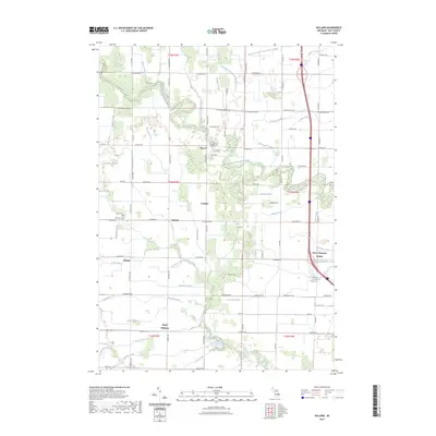 2023 Willard2023 Print · USGSBay County’s rural heartland is documented here in the early twenty-first century, showing a landscape defined by drainage and small settlements. Researchers can locate family sites near Three Churches Corner, Beaver Cem, and the crossroads of Willard and Seidlers.
 - 2023 Map of Standish, 2023 Print
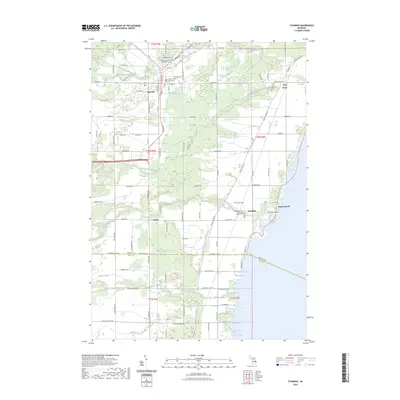 2023 Standish2023 Print · USGSThe Lake Huron coastline and the interior of Arenac County are shown here in the early 2020s. Genealogists and local historians can trace the foundations of the area at the Arenac County Courthouse and the Saganing Indian Methodist Mission Cem.
 - 2023 Map of Bay City, 2023 Print
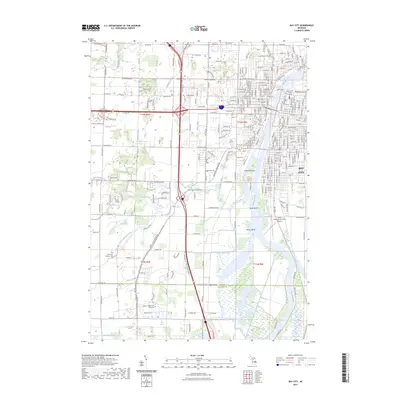 2023 Bay City2023 Print · USGSThe Saginaw River dominates this contemporary Michigan landscape, showing how modern industry and education have reshaped the Bay City area. Researchers can locate Saint Paul Lutheran Cem, Delta College, and the riverfront islands like Middle Ground.
 - 2023 Map of Midland North, 2023 Print
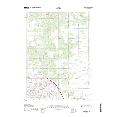 2023 Midland North2023 Print · USGSThe northern reaches of Midland and the rural townships of Larkin and Duel are documented in the early 2020s. Trace local family history at Old Calvary Cem - Midland or follow the complex drainage networks of Waldo Drain and Snake Creek.
 - 2023 Map of Auburn, 2023 Print
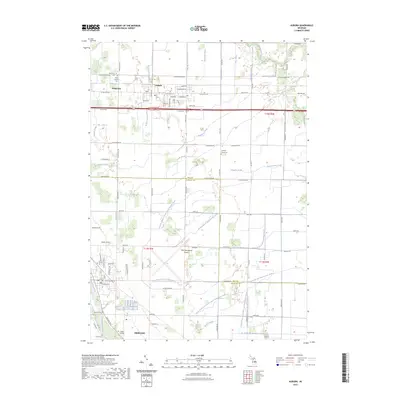 2023 Auburn2023 Print · USGSBay and Saginaw counties appear in this detailed survey, showing the region's vital transport and drainage networks at the start of the 2020s. Genealogists can trace numerous local burial sites including Lutheran Home Cem, Chapel Hill Cem, and Jacquith Cem.
End of results
Showing maps 1-18 of 18
Top cities of Bay County
Frequently asked questions
- What are the different types of historical maps available for Bay County?
- What is the oldest map of Bay County?
- Where can I purchase historical maps of Bay County for my home or office?
- Where can I download high-res historical maps of Bay County?
- Are there historical topographic maps available for Bay County?
- Is there historical aerial imagery available for Bay County?
- Where are historical maps of Bay County sourced from?