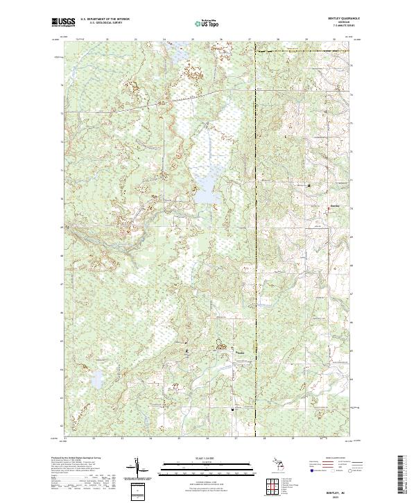
2023 Map of Bentley
USGS Topo · Published 2023About this map
The small communities of Bentley and Rhodes anchor this modern survey along the convergence of Gladwin, Bay, and Arenac counties. The landscape is defined by extensive wetlands and drainage systems, most notably the Bentley Marsh and several engineered watercourses like Gear Drain and Chubb Drain. These systems represent a long-standing agricultural and land-management pattern essential for maintaining the local economy.
Find a feature on this map
55 named features on this map. Tap any name to fly to it.
Don’t see what you’re looking for? This feature index may not catch every label — zoom into the map to look around manually.
Map Details
Editions of this 2023 Bentley Map
This is the sole edition of this map. No revisions or reprints were ever made.
Other maps of this area

1954 · Traverse City
USGS Topo · 1:250,000

1954 · Midland
USGS Topo · 1:250,000

1958 · Traverse City
USGS Topo · 1:250,000

1958 · Midland
USGS Topo · 1:250,000

1959 · Midland
USGS Topo · 1:250,000

1966 · Midland
USGS Topo · 1:250,000
1967 · Mount Forest
USGS Topo · 1:24,000
1967 · Crump
USGS Topo · 1:24,000

1968 · Sterling
USGS Topo · 1:24,000

1968 · Sterling SW
USGS Topo · 1:24,000