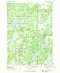
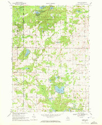
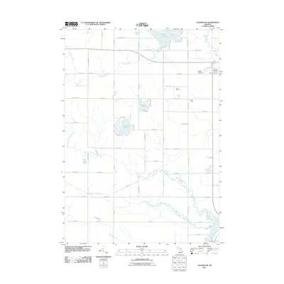
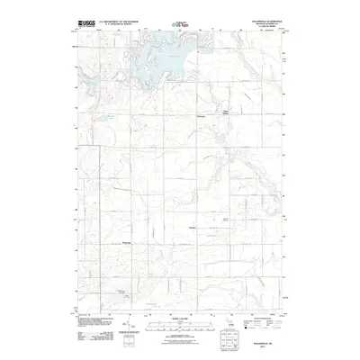
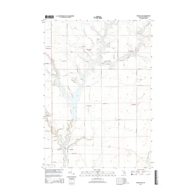
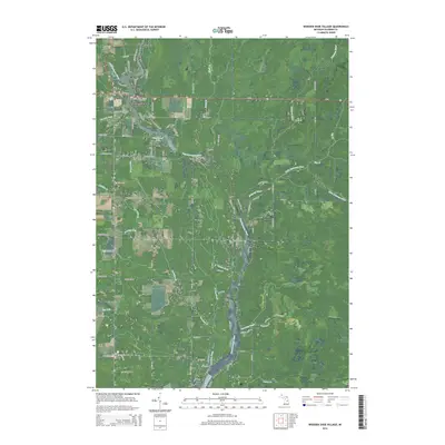
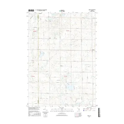
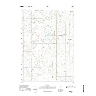
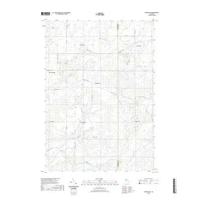
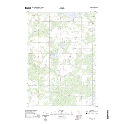
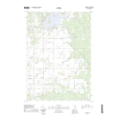
1968 Map of Sterling SW
USGS Topo · Published 1971About this map
Tittabawassee River State Forest dominates this landscape in central Michigan, where complex water management systems define the terrain. The presence of multiple flooding projects, including Molasses River Flooding No 1, Molasses River Flooding No 2, and Molasses River Flooding No 5, indicates a mid-century focus on habitat engineering and wetland control along the Molasses River.
Find a feature on this map
28 named features on this map. Tap any name to fly to it.
Don’t see what you’re looking for? This feature index may not catch every label — zoom into the map to look around manually.
Map Details
Editions of this 1968 Sterling SW Map
This is the sole edition of this map. No revisions or reprints were ever made.
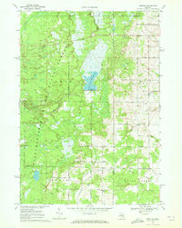
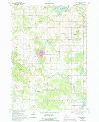
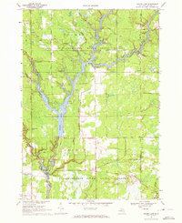
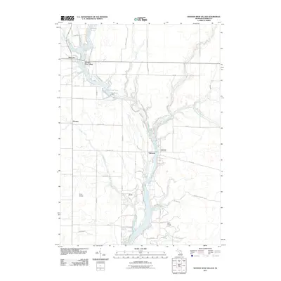
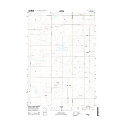
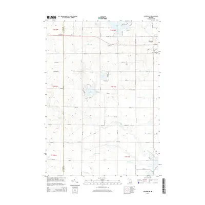
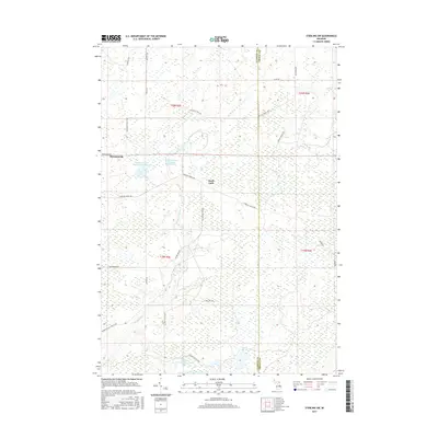
Historical Maps of Grim Township Through Time
42 maps found
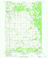
1968 Sterling SW
Gladwin County, MI
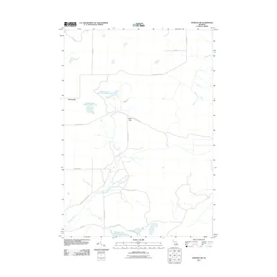
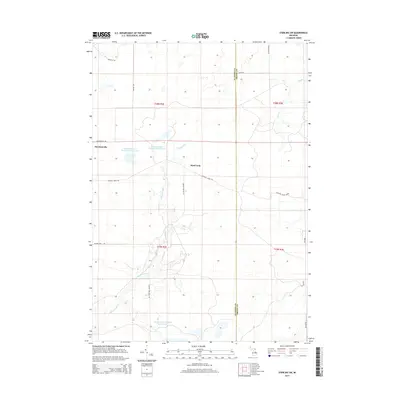
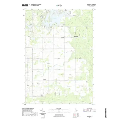
1969 Bentley
Gladwin County, MI
1969 Coleman NE
Gladwin County, MI
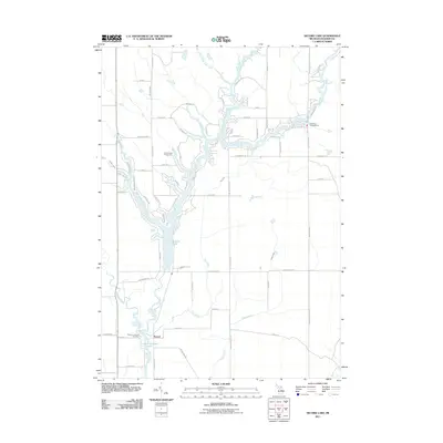
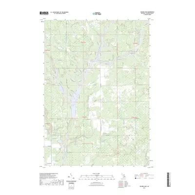
1969 Secord Lake
Gladwin County, MI
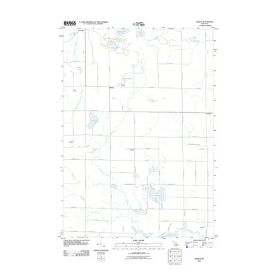
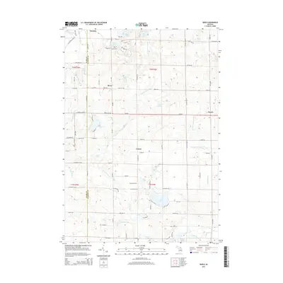
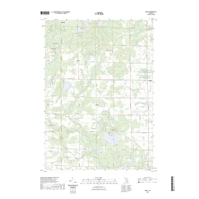
1969 Skeels
Gladwin County, MI
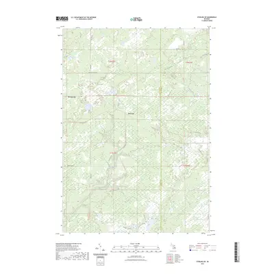
1969 Wagarville
Gladwin County, MI
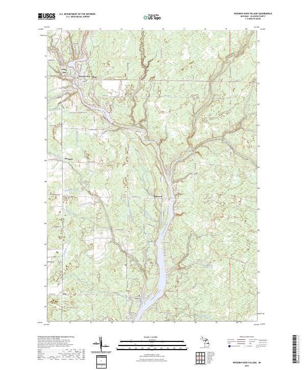
1969 Wooden Shoe Village
Gladwin County, MI
2011 Bentley
Gladwin County, MI
2011 Coleman NE
Gladwin County, MI
2011 Secord Lake
Gladwin County, MI
2011 Skeels
Gladwin County, MI
2011 Sterling SW
Gladwin County, MI
2011 Wagarville
Gladwin County, MI
2011 Wooden Shoe Village
Gladwin County, MI
2014 Bentley
Gladwin County, MI
2014 Coleman NE
Gladwin County, MI
2014 Secord Lake
Gladwin County, MI
2014 Skeels
Gladwin County, MI
2014 Sterling SW
Gladwin County, MI
2014 Wagarville
Gladwin County, MI
2014 Wooden Shoe Village
Gladwin County, MI
2017 Bentley
Gladwin County, MI
2017 Coleman NE
Gladwin County, MI
2017 Secord Lake
Gladwin County, MI
2017 Skeels
Gladwin County, MI
2017 Sterling SW
Gladwin County, MI
2017 Wagarville
Gladwin County, MI
2017 Wooden Shoe Village
Gladwin County, MI
2019 Bentley
Gladwin County, MI
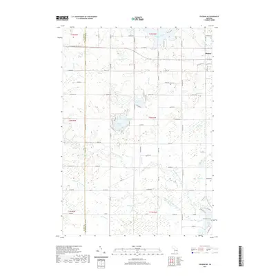
2019 Coleman NE
Gladwin County, MI
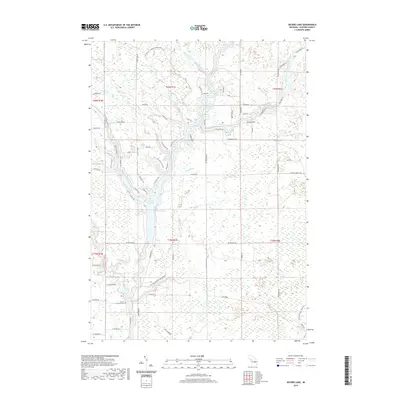
2019 Secord Lake
Gladwin County, MI
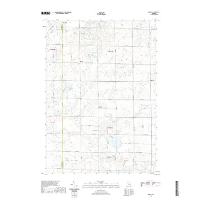
2019 Skeels
Gladwin County, MI
2019 Sterling SW
Gladwin County, MI
2019 Wagarville
Gladwin County, MI
2019 Wooden Shoe Village
Gladwin County, MI
2023 Bentley
Gladwin County, MI
2023 Coleman NE
Gladwin County, MI
2023 Secord Lake
Gladwin County, MI
2023 Skeels
Gladwin County, MI
2023 Sterling SW
Gladwin County, MI
2023 Wagarville
Gladwin County, MI
2023 Wooden Shoe Village
Gladwin County, MI
Featured Locations
- Adams Township, MI
- Bourret Township, MI
- Grim Township, MI
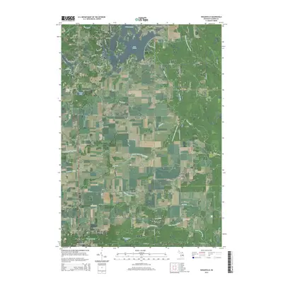
- Bowmanville, Grim Township
- Hard Luck, Grim Township