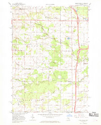
1967 Map of Mount Forest
USGS Topo · Published 1969About this map
The borderlands of Arenac and Bay counties are defined here by a network of drainage canals and the headwaters of several critical watercourses. An Old Railroad Grade cuts diagonally through the townships of Gibson and Mount Forest, hinting at the region's logging or industrial past. Small settlements like Bentley, Stevenson, and Johnsfield anchor the landscape, while the southern reaches feature the Mount Forest Oil Field, reflecting the area's mid-century natural resource extraction. The terrain is intricate, marked by the Saganing Drain and Legness Drain which navigate the low-lying areas between Saganing Creek and White Feather Creek. The presence of the Bethlehem Ch and a local Townhall indicates the established civic and religious foundations of these rural Michigan communities during the late 1960s.
Find a feature on this map
40 named features on this map. Tap any name to fly to it.
Don’t see what you’re looking for? This feature index may not catch every label — zoom into the map to look around manually.
Map Details
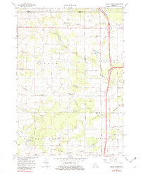
Editions of this 1967 Mount Forest Map
2 editions found
Other maps of this area

1954 · Traverse City
USGS Topo · 1:250,000

1954 · Midland
USGS Topo · 1:250,000

1954 · Flint
USGS Topo · 1:250,000

1954 · Tawas City
USGS Topo · 1:250,000

1958 · Traverse City
USGS Topo · 1:250,000

1958 · Flint
USGS Topo · 1:250,000

1958 · Tawas City
USGS Topo · 1:250,000

1958 · Midland
USGS Topo · 1:250,000

1959 · Midland
USGS Topo · 1:250,000

1966 · Midland
USGS Topo · 1:250,000
Featured Places
- Mount Forest, MI
- Mount Forest Township, MI
- Lincoln Township, MI
- Gibson Township, MI
- Pinconning Township, MI