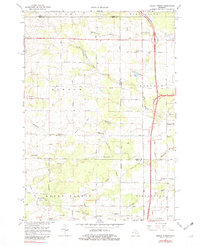
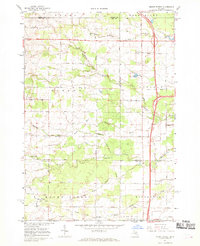
1967 Map of Mount Forest
USGS Topo · Published 1982About this map
The boundary between Arenac and Bay counties bisects this landscape of agricultural drainage and timbered stretches during the late 1960s. Small rural communities and crossroads such as Stevenson, Bentley, and Johnsfield anchor the northern sections, while the southern portion features the Mount Forest Oil Field and the settlement of Mount Forest. An Old Railroad Grade cuts through the terrain, tracing a legacy of earlier industrial transport across the numerous drain systems like Saganing Drain and Budd Drain. Local landmarks including the Bethlehem Ch and a Townhall near Johnsfield provide specific points of interest for genealogists and local historians. The map also captures the complex hydrology of the area, defined by the winding paths of the Middle Branch Pine River and White Feather Creek.
Find a feature on this map
51 named features on this map. Tap any name to fly to it.
Don’t see what you’re looking for? This feature index may not catch every label — zoom into the map to look around manually.
Map Details
Editions of this 1967 Mount Forest Map
2 editions found
Other maps of this area

1954 · Traverse City
USGS Topo · 1:250,000

1954 · Midland
USGS Topo · 1:250,000

1954 · Flint
USGS Topo · 1:250,000

1954 · Tawas City
USGS Topo · 1:250,000

1958 · Traverse City
USGS Topo · 1:250,000

1958 · Flint
USGS Topo · 1:250,000

1958 · Tawas City
USGS Topo · 1:250,000

1958 · Midland
USGS Topo · 1:250,000

1959 · Midland
USGS Topo · 1:250,000

1966 · Midland
USGS Topo · 1:250,000
Featured Places
- Mount Forest, MI
- Mount Forest Township, MI
- Lincoln Township, MI
- Gibson Township, MI
- Pinconning Township, MI