2010s Maps of Bay County, Michigan
Explore 72 historic maps of Bay County from the 2010s. These maps offer a rare glimpse into what life looked like during the 2010s — showing old roads, neighborhoods, homes, and landmarks that have changed or disappeared over time.
Whether you're researching your family's past, planning a metal detecting trip, or studying how Bay County's landscape evolved across the 2010s, these high-resolution maps are a powerful tool for exploring the history of this region.
- Focus on a specific era: All maps on this page are from the 2010s, giving you a focused view of this time period.
- See what’s changed: Compare century-old streets, trails, and buildings to today's modern landscape using overlays and satellite layers.
- Research with precision: Use these maps for genealogy, historical research, land use analysis, or educational projects.
- View, download, or print: Maps are fully viewable online in high resolution, and can be downloaded or printed for your own records.
Start exploring Bay County's history through authentic maps from the 2010s. This is your window into the past.
Bay County, MI maps
(72)- 2011 Map of Quanicassee OE N, 2011 Print
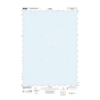 2011 Quanicassee OE N2011 Print · USGSSaginaw Bay and the open waters of the Great Lakes are the focus of this maritime study from the early twenty-first century. Researchers can chart the aquatic boundaries of Saginaw Bay and Lake Huron as they were defined by the USGS in this era.
 - 2011 Map of Bay City NE, 2011 Print
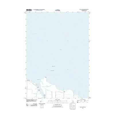 2011 Bay City NE2011 Print · USGSThe Michigan shoreline at the mouth of the Saginaw River appears in this early 21st-century survey of the bay. Researchers can trace maritime landmarks like the Saginaw River Rear Range Lighthouse, industrial sites, and coastal communities like Aplin Beach.
 - 2011 Map of Kawkawlin, 2011 Print
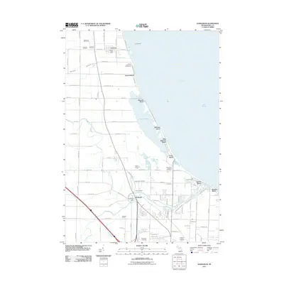 2011 Kawkawlin2011 Print · USGSThe shores of Saginaw Bay come alive in this early twenty-first-century survey of the Bay County coastline. Researchers can trace the layout of waterfront communities like Linwood Beach and Tobico Beach or locate sites such as Calvary Cemetery and the Kawkawlin Oil Field.
 - 2011 Map of Crump, 2011 Print
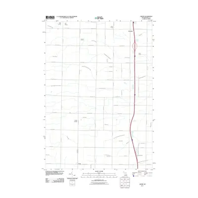 2011 Crump2011 Print · USGSMount Forest and Garfield Townships in the early twenty-first century exhibit a landscape of intensive drainage and rural industry. Researchers can find numerous local landmarks including Mount Forest Cemetery, the Mount Forest Oil Field, and the historic settlement of Crump.
 - 2011 Map of Bentley, 2011 Print
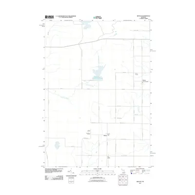 2011 Bentley2011 Print · USGSGladwin County at the turn of the decade reveals a settled landscape of small communities and rural drainage systems. Genealogists and local historians can locate several burial sites including Bentley Cemetery and New Rhodes Cemetery, alongside landmarks like the Rhodes Post Office.
 - 2011 Map of Willard, 2011 Print
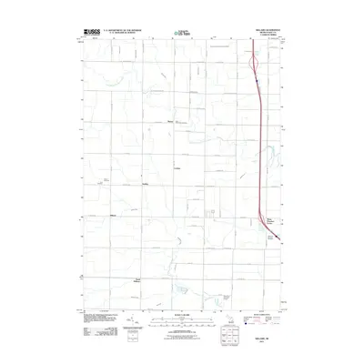 2011 Willard2011 Print · USGSBay County's rural townships are shown here in the early twenty-first century, featuring a landscape defined by drainage canals and crossroads hamlets. Researchers can trace family roots at Beaver Cemetery or Saint Valentine's Cemetery and locate small settlements like Seidlers.
 - 2011 Map of Estey, 2011 Print
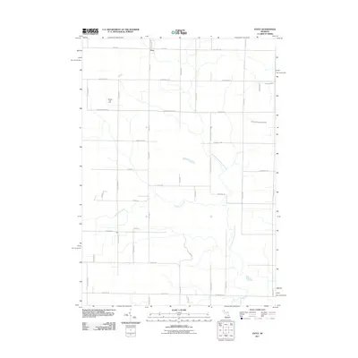 2011 Estey2011 Print · USGSBay County, Michigan, reveals its rural character and industrial roots in the early twenty-first century. Genealogists and local historians can trace family-named roads like Estey Rd and explore the footprint of the Bentley Oil Field near the village of Estey.
 - 2011 Map of Mount Forest, 2011 Print
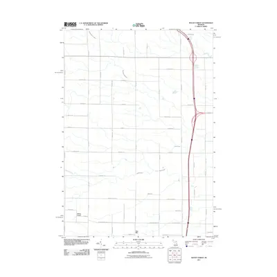 2011 Mount Forest2011 Print · USGSBay County settlements like Mount Forest and Nine Mile are captured here during the early twenty-first century. Researchers can trace rural family lands along Bentley Rd or follow the paths of Saganing Creek and the Budd Drain.
 - 2011 Map of Quanicassee, 2011 Print
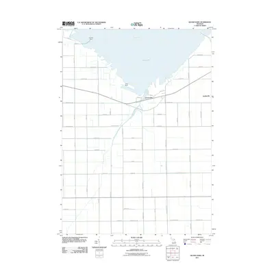 2011 Quanicassee2011 Print · USGSCoastal Tuscola County is captured here in the early twenty-first century as it meets the waters of the Saginaw Bay. Researchers can trace the drainage of the Quanicassee River and locate local landmarks such as Coryeon Point and the settlement of Bradleyville.
 - 2011 Map of Essexville, 2011 Print
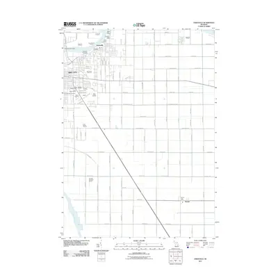 2011 Essexville2011 Print · USGSThe industrial riverfronts of Bay City and Essexville meet the rural reaches of Bay County in the early 2010s. Genealogists can locate several major burial sites like Pine Ridge Cemetery or trace the maritime and energy infrastructure at the Essexville Oil Field.
 - 2011 Map of Pinconning, 2011 Print
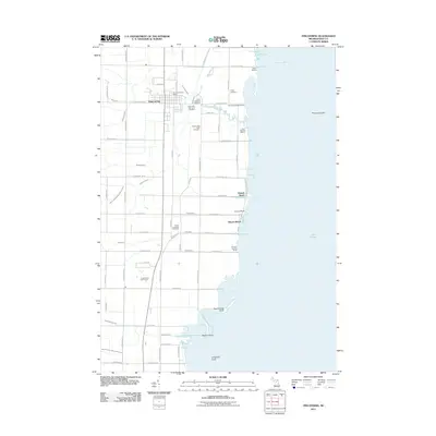 2011 Pinconning2011 Print · USGSThe Bay County shoreline and the city of Pinconning are documented here in the early twenty-first century as the landscape transitions from farmland to Saginaw Bay. Researchers can locate numerous local burial sites like the Indian Cemetery and waterfront landmarks including Almeda Beach and Nayanquing Point.
 - 2011 Map of Standish, 2011 Print
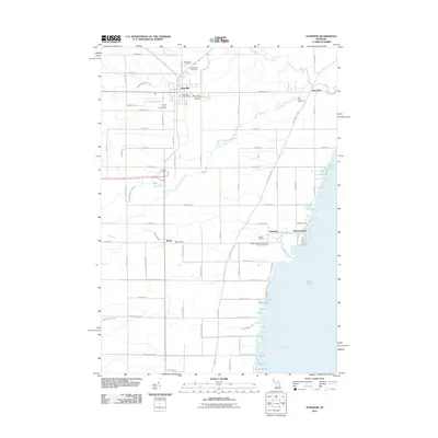 2011 Standish2011 Print · USGSThe Standish area and the shoreline of Saginaw Bay are shown here in the early twenty-first century as the landscape transitioned toward modern recreation. Researchers can trace local lineage through several burial sites like the Pine River Cemetery or the Saganing Indian Methodist Mission Cemetery.
 - 2011 Map of Saginaw NE, 2011 Print
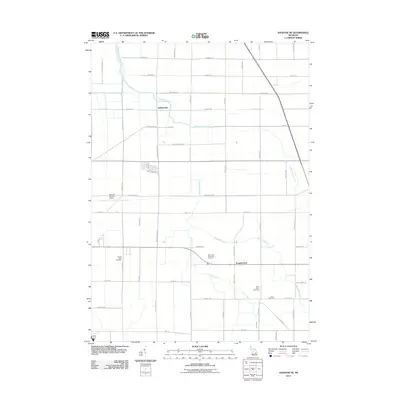 2011 Saginaw NE2011 Print · USGSSaginaw County’s agricultural heartland is documented here in the early twenty-first century, showing the enduring grid of farm roads and drainage networks. Researchers can locate family plots at Buena Vista Cemetery or trace the early paths of Indiantown and Frankentrost.
 - 2011 Map of Midland South, 2011 Print
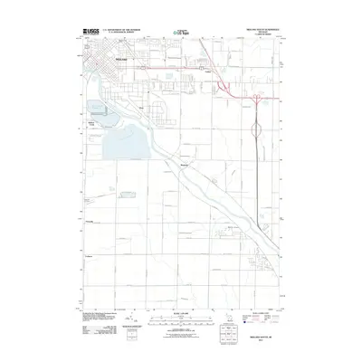 2011 Midland South2011 Print · USGSMidland's southern reaches and the winding Tittabawassee River are shown here as they appeared in the early 2010s. Genealogists and local historians can trace the locations of several burial grounds, including Arrance Cemetery and West Side Cemetery, alongside rural settlements like Mapleton and Poseyville.
 - 2011 Map of Midland North, 2011 Print
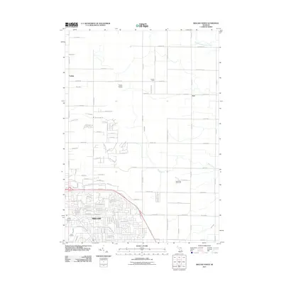 2011 Midland North2011 Print · USGSMidland and its northern townships are shown during a period of steady residential growth and rural management. Local historians can trace the development of Woodland Ests or locate family plots at Hubbard Lutheran Cemetery and Calvary Cemetery.
 - 2011 Map of Bay City, 2011 Print
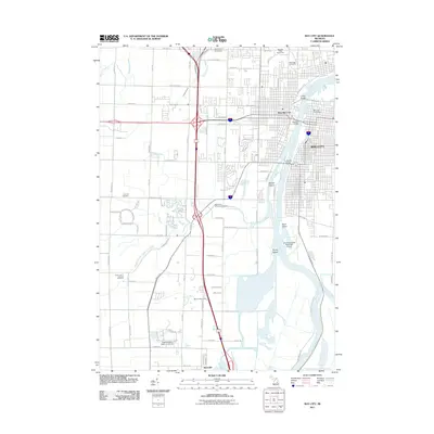 2011 Bay City2011 Print · USGSBay City and its riverfront were entering a new era of development and preservation at the start of the twenty-first century. Genealogists and researchers can locate several major burial grounds such as Oak Ridge Cemetery or trace the river islands of Skull Island and Middle Ground.
 - 2011 Map of Auburn, 2011 Print
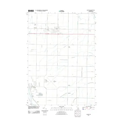 2011 Auburn2011 Print · USGSBay County at the start of the 2010s shows a transition from structured agriculture to growing suburban communities. Researchers can trace family sites at Saint Anthony Cemetery or explore the waterways of the Squaconning Creek and Tittabawassee River.
 - 2011 Map of Reese, 2011 Print
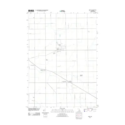 2011 Reese2011 Print · USGSThe agricultural heart of Tuscola County is captured here in the early twenty-first century, centered on the village of Reese. Researchers can trace local heritage through the Richville Post Office and several historic sites like Saint Michael's German Lutheran Cemetery.
 - 2014 Map of Estey, 2014 Print
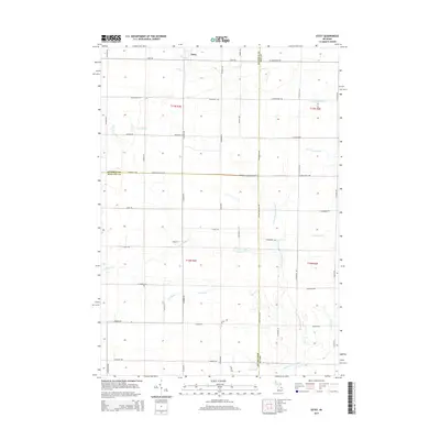 2014 Estey2014 Print · USGSModern Michigan agricultural lands and drainage systems are revealed here in the early 2010s. Researchers can trace the water network from the settlement of Estey through features like Kawkawlin Cr, Pinconning River, and Chubb Drain.
 - 2014 Map of Auburn, 2014 Print
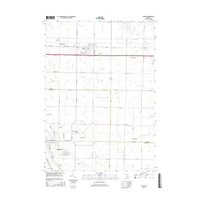 2014 Auburn2014 Print · USGSThe border of Bay and Saginaw counties is captured here in the early twenty-first century, showing the developed agricultural and transport hubs of the region. Genealogists and local historians can locate several family and community landmarks, from Saint Anthony Cemetery to the village of Fisherville.
 - 2014 Map of Midland North, 2014 Print
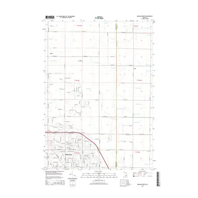 2014 Midland North2014 Print · USGSMidland County's agricultural transition is captured here in the early twenty-first century as urban expansion meets rural section lines. Researchers can find family history at Hubbard Lutheran Cem or trace the extensive drainage network of Waldo Drain and Pashok Drain.
 - 2014 Map of Crump, 2014 Print
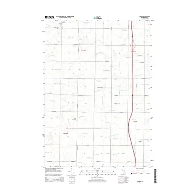 2014 Crump2014 Print · USGSBay County's agricultural heartland is documented here in the early twenty-first century, showing a landscape defined by its complex drainage and rural townships. Researchers can locate Crump, Woodville, and several historic cemeteries including Forest Hill Cem and Saint Marys Cem.
 - 2014 Map of Willard, 2014 Print
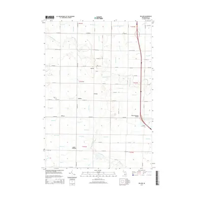 2014 Willard2014 Print · USGSBay County's agricultural heartland is documented here in the early 21st century, showing the small crossroads communities that anchor the region. Researchers can locate family landmarks like Saint Valentine's Cem, Three Churches Corner, and the rural settlement of Seidlers.
 - 2014 Map of Essexville, 2014 Print
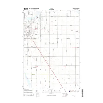 2014 Essexville2014 Print · USGSCoastal Bay County is captured here in the mid-2010s, showing the intersection of industrial river life and agricultural drainage systems. Family historians can locate numerous burial grounds like Saint Stanislaus Cem and Floral Garden Cem near Essexville.
 - 2014 Map of Kawkawlin, 2014 Print
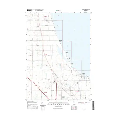 2014 Kawkawlin2014 Print · USGSThe Bay County shoreline along Saginaw Bay comes into focus in this modern era survey of beach communities and wetlands. Genealogists and local historians can trace family sites at Saint Ann Cem or Heavenly Rest Cem and follow the path of the Lake State Railway through Linwood and Kawkawlin.
Showing maps 1-25 of 72
Top cities of Bay County
Frequently asked questions
- What are the different types of historical maps available for Bay County?
- What is the oldest map of Bay County?
- Where can I purchase historical maps of Bay County for my home or office?
- Where can I download high-res historical maps of Bay County?
- Are there historical topographic maps available for Bay County?
- Is there historical aerial imagery available for Bay County?
- Where are historical maps of Bay County sourced from?