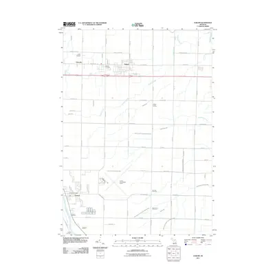
2011 Map of Auburn
USGS Topo · Published 2011About this map
Auburn and the neighboring settlement of Fisherville occupy a landscape defined by an intricate network of drainage and small waterways in Bay County. The terrain is deeply marked by agriculture and civil engineering, seen in the convergence of the Squaconning Creek and its multiple branches, alongside named local systems like Culver Creek and the Arman Drain. To the south, the village of Freeland sits along the banks of the Tittabawassee River, providing a distinct geographic anchor contrasted with the open aviation grounds of the Tri City International Airport.
Find a feature on this map
70 named features on this map. Tap any name to fly to it.
Don’t see what you’re looking for? This feature index may not catch every label — zoom into the map to look around manually.
Map Details
Editions of this 2011 Auburn Map
This is the sole edition of this map. No revisions or reprints were ever made.
Other maps of this area

1916 · Bay City
USGS Topo · 1:62,500

1917 · St. Charles
USGS Topo · 1:62,500

1919 · Bay City
USGS Topo · 1:62,500

1919 · Saginaw
USGS Topo · 1:62,500

1941 · Saginaw
USGS Topo · 1:62,500

1943 · Bay City
USGS Topo · 1:62,500

1943 · Saginaw
USGS Topo · 1:62,500

1943 · St. Charles
USGS Topo · 1:62,500

1954 · Midland
USGS Topo · 1:250,000

1954 · Flint
USGS Topo · 1:250,000