2010s Maps of Monitor Township, Michigan
Explore 16 historic maps of Monitor Township from the 2010s. These maps offer a rare glimpse into what life looked like during the 2010s — showing old roads, neighborhoods, homes, and landmarks that have changed or disappeared over time.
Whether you're researching your family's past, planning a metal detecting trip, or studying how Monitor Township's landscape evolved across the 2010s, these high-resolution maps are a powerful tool for exploring the history of this region.
- Focus on a specific era: All maps on this page are from the 2010s, giving you a focused view of this time period.
- See what’s changed: Compare century-old streets, trails, and buildings to today's modern landscape using overlays and satellite layers.
- Research with precision: Use these maps for genealogy, historical research, land use analysis, or educational projects.
- View, download, or print: Maps are fully viewable online in high resolution, and can be downloaded or printed for your own records.
Start exploring Monitor Township's history through authentic maps from the 2010s. This is your window into the past.
Monitor Township, MI maps
(16)- 2011 Map of Kawkawlin, 2011 Print
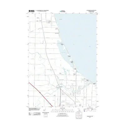 2011 Kawkawlin2011 Print · USGSThe shores of Saginaw Bay come alive in this early twenty-first-century survey of the Bay County coastline. Researchers can trace the layout of waterfront communities like Linwood Beach and Tobico Beach or locate sites such as Calvary Cemetery and the Kawkawlin Oil Field.
 - 2011 Map of Willard, 2011 Print
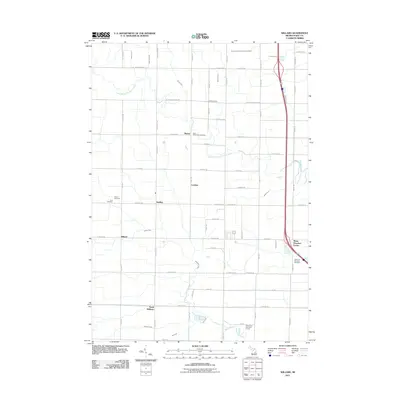 2011 Willard2011 Print · USGSBay County's rural townships are shown here in the early twenty-first century, featuring a landscape defined by drainage canals and crossroads hamlets. Researchers can trace family roots at Beaver Cemetery or Saint Valentine's Cemetery and locate small settlements like Seidlers.
 - 2011 Map of Bay City, 2011 Print
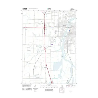 2011 Bay City2011 Print · USGSBay City and its riverfront were entering a new era of development and preservation at the start of the twenty-first century. Genealogists and researchers can locate several major burial grounds such as Oak Ridge Cemetery or trace the river islands of Skull Island and Middle Ground.
 - 2011 Map of Auburn, 2011 Print
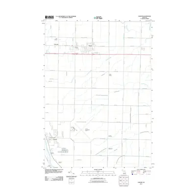 2011 Auburn2011 Print · USGSBay County at the start of the 2010s shows a transition from structured agriculture to growing suburban communities. Researchers can trace family sites at Saint Anthony Cemetery or explore the waterways of the Squaconning Creek and Tittabawassee River.
 - 2014 Map of Auburn, 2014 Print
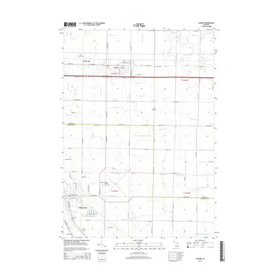 2014 Auburn2014 Print · USGSThe border of Bay and Saginaw counties is captured here in the early twenty-first century, showing the developed agricultural and transport hubs of the region. Genealogists and local historians can locate several family and community landmarks, from Saint Anthony Cemetery to the village of Fisherville.
 - 2014 Map of Willard, 2014 Print
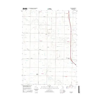 2014 Willard2014 Print · USGSBay County's agricultural heartland is documented here in the early 21st century, showing the small crossroads communities that anchor the region. Researchers can locate family landmarks like Saint Valentine's Cem, Three Churches Corner, and the rural settlement of Seidlers.
 - 2014 Map of Kawkawlin, 2014 Print
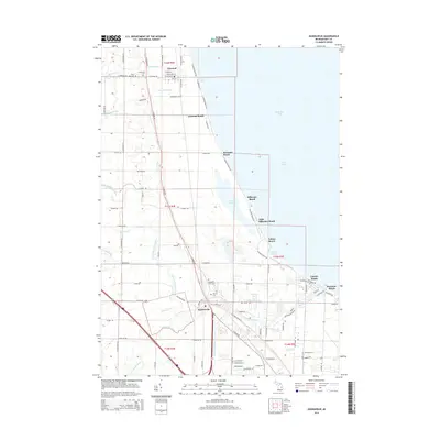 2014 Kawkawlin2014 Print · USGSThe Bay County shoreline along Saginaw Bay comes into focus in this modern era survey of beach communities and wetlands. Genealogists and local historians can trace family sites at Saint Ann Cem or Heavenly Rest Cem and follow the path of the Lake State Railway through Linwood and Kawkawlin.
 - 2014 Map of Bay City, 2014 Print
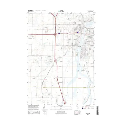 2014 Bay City2014 Print · USGSBay City and its riverfront neighborhoods are shown in detail during the early 21st century. Researchers can trace the urban development across Middle Ground or locate family sites at Oak Ridge Cem and Saint Paul's Lutheran Cem.
 - 2017 Map of Willard, 2017 Print
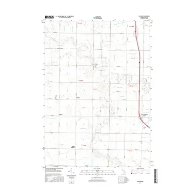 2017 Willard2017 Print · USGSBay County's rural heartland is captured here in the late twenty-tens, showing a landscape defined by generational farming and intricate water management. Researchers can trace family roots through sites like Beaver Cem, Three Churches Corner, and Saint Valentine's Cem.
 - 2017 Map of Kawkawlin, 2017 Print
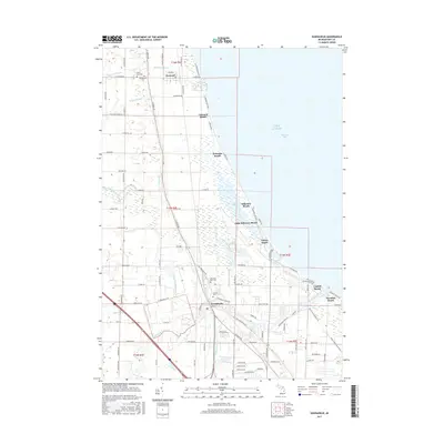 2017 Kawkawlin2017 Print · USGSThe western shores of Saginaw Bay come into focus in the mid-2010s, showing the settled coastline from Linwood to Lagoon Beach. Researchers can find several local cemeteries like Heavenly Rest Cem and trace the paths of the N Br Kawkawlin River and numerous local drains.
 - 2017 Map of Auburn, 2017 Print
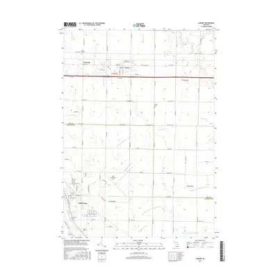 2017 Auburn2017 Print · USGSAuburn and Freeland sit at the center of this modern survey of the Bay and Saginaw County borderlands. Researchers can trace family sites at Saint Anthony Cem and Jacquith Cem or locate the sprawling MBS International Airport.
 - 2017 Map of Bay City, 2017 Print
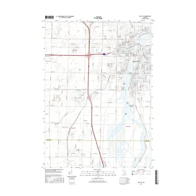 2017 Bay City2017 Print · USGSBay City and the Saginaw River valley are shown in detail during the late twenty-tens as the region balances urban growth with its wetland environment. Researchers can trace local history through sites like Oak Ridge Cem, the Saginaw Valley State Univ campus, and Skull Island.
 - 2019 Map of Kawkawlin, 2019 Print
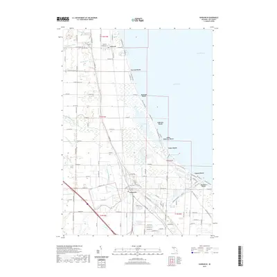 2019 Kawkawlin2019 Print · USGSSaginaw Bay's western shore comes into focus in this late twenty-teens survey, showing the string of beach communities from Linwood Beach to Lagoon Beach. Genealogists can locate several local burial grounds, including Heavenly Rest Cem and Saint Ann Cem, while outdoorsmen can trace the edges of Tobico Marsh.
 - 2019 Map of Bay City, 2019 Print
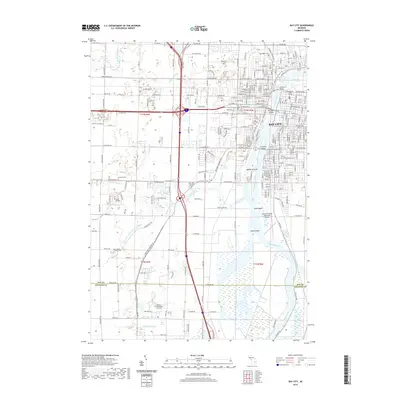 2019 Bay City2019 Print · USGSBay City's riverfront and academic centers are captured here in the late twenty-teens. Researchers can trace the boundaries of Oak Ridge Cemetery, locate Delta College, or follow the Saginaw River past Skull Island and the municipal airport.
 - 2019 Map of Auburn, 2019 Print
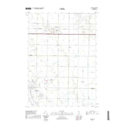 2019 Auburn2019 Print · USGSThe borderlands of Bay and Saginaw Counties come into focus in this late 2010s survey, showing the agricultural plains surrounding Auburn. Researchers can locate several family and parish burial grounds like Daheim-Kirchof Cem or trace the many branches of Squaconning Cr.
 - 2019 Map of Willard, 2019 Print
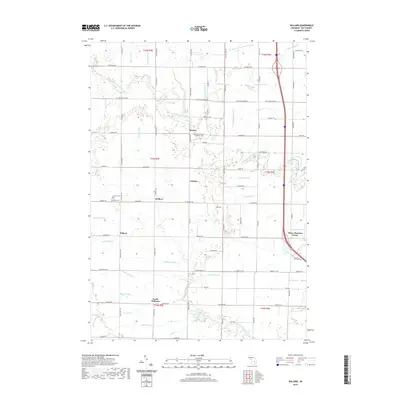 2019 Willard2019 Print · USGSBay County's agricultural heartland is documented here in the late 2010s, showing a landscape defined by its vital drainage networks and small rural hamlets. Researchers can locate family roots at the Saint Valentine Catholic Cem or trace the drainage paths of the Renner Drain and McNally Drain.
End of results
Showing maps 1-16 of 16
Top cities near Monitor Township
- Saginaw historical maps
- Midland historical maps
- Bay City historical maps
- Kawkawlin historical maps
- Kochville historical maps
- Essexville historical maps
See more
Top neighborhoods of Monitor Township
Frequently asked questions
- What are the different types of historical maps available for Monitor Township?
- What is the oldest map of Monitor Township?
- Where can I purchase historical maps of Monitor Township for my home or office?
- Where can I download high-res historical maps of Monitor Township?
- Are there historical topographic maps available for Monitor Township?
- Is there historical aerial imagery available for Monitor Township?
- Where are historical maps of Monitor Township sourced from?