Old Maps of Monitor Township, Michigan for Genealogy
Trace your family roots with 35 historic maps of Monitor Township. These high-res maps reveal old neighborhoods, homesites, landmarks, and streets — helping you uncover where your ancestors lived and how the area evolved over time.
- Explore historic neighborhoods: Identify where your relatives may have lived in the 1800s or 1900s.
- Compare maps over time: Trace the changes in streets, buildings, and landmarks for multi-generational research.
- Perfect for genealogy & ancestry research: Used by family historians and researchers to map out lineage and migration.
These maps are an incredible resource for exploring your personal connection to Monitor Township's past.
Monitor Township, MI maps
(35)- 1916 Map of Bay City
 1916 Bay City1916 Print · USGSThe industrial waterfront of Saginaw Bay comes to life in this survey from the years preceding the Great Depression. Genealogists and historians can trace the early footprints of Bay City, locate rural schools like Sugar School, and follow the old Pere Marquette rail lines.
 - 1919 Map of Bay City
 1919 Bay City1919 Print · USGSBay County at the height of its industrial and rail era shows a landscape defined by the Saginaw River and the bay. Local historians can trace the paths of the Hecla Belt Line and locate landmarks like Amelith, Sugar School, and Wenona Beach.2 unique versions available
 - 1943 Map of Bay City
 1943 Bay City1943 Print · USGSThe Saginaw River valley and the shores of Saginaw Bay appear here in the midst of the Second World War. Researchers can trace the industrial rail lines of the Pere Marquette or locate vanished local landmarks like Wenona Beach and the Sugar Sch.
 - 1954 Map of Midland, 1967 Print
 1954 Midland1967 Print · USGSMid-Michigan at the peak of the post-war era shows a landscape balancing industrial growth in Midland with the deep timberlands of the Manistee National Forest. Researchers can trace the legacy of the timber and rail era along the Pennsylvania RR or find family roots in river towns like Chesaning and Big Rapids.4 unique versions available
 - 1954 Map of Flint, 1968 Print
 1954 Flint1968 Print · USGSThe industrial corridor and fertile Thumb region of Michigan come alive in this mid-century survey. Genealogists and historians can trace the rail networks of the Grand Trunk, locate established settlements like Bad Axe and Sandusky, or explore the 1950s shoreline along Saginaw Bay.4 unique versions available
 - 1958 Map of Flint
 1958 Flint1958 Print · USGSThe Michigan Thumb and the Saginaw Valley are captured here during the height of the post-war industrial era. Researchers can trace the complex rail networks of the Grand Trunk Western or locate mid-century landmarks like Lakeport State Park and the port at Bay City.2 unique versions available
 - 1958 Map of Midland
 1958 Midland1958 Print · USGSCentral Michigan in the late fifties is captured here during a period of transition for its university towns and industrial hubs. Genealogists and researchers can trace family lines through old rail-stop towns like Breckenridge and Chesaning or locate property near the Muskegon River and Prairie Farm.
 - 1959 Map of Midland
 1959 Midland1959 Print · USGSMid-century Michigan comes alive in this survey of the central Lower Peninsula, from the streets of Grand Rapids to the Houghton Lake timberlands. Genealogists and rail fans can trace the Ann Arbor RR and Chesapeake and Ohio RR through towns like Big Rapids and Mount Pleasant.
 - 1962 Map of Willard, 1964 Print
 1962 Willard1964 Print · USGSBay County's rural heartland is meticulously detailed in the early sixties, showing the agricultural grids and vital drainage networks of Willard and Lambert. Researchers can trace local genealogy through sites like Zion Cem and Three Churches Corner, or locate historic schoolhouses such as Oxbow Sch.2 unique versions available
 - 1962 Map of Auburn, 1964 Print
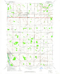 1962 Auburn1964 Print · USGSMid-century Bay and Saginaw Counties come to life in this detailed record of the region's agricultural and aviation growth. Researchers can trace family roots at Township Cemetery or locate the old Grace School and Tri-City Airport.2 unique versions available
 - 1966 Map of Midland
 1966 Midland1966 Print · USGSCentral Michigan in the mid-1960s shows a landscape of growing manufacturing hubs and active resource extraction. Genealogists and historians can trace the rail corridors of the Grand Trunk Western or locate family-named landmarks near Oil wells and the Muskegon River.
 - 1967 Map of Kawkawlin, 1969 Print
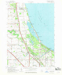 1967 Kawkawlin1969 Print · USGSSaginaw Bay's shoreline in the late sixties is a mix of growing beach communities and vast protected wetlands. You can trace family roots at St Ann Cem, locate old schoolhouses like Townhall Sch, or follow the Penn Central rail lines through Linwood.3 unique versions available
 - 1967 Map of Bay City, 1969 Print
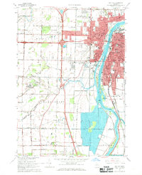 1967 Bay City1969 Print · USGSBay City and the Saginaw River valley are captured here in the late sixties during a period of suburban expansion and industrial transition. Researchers can locate numerous parochial schools like St Stanislaus Sch, family plots at Oak Ridge Cemetery, and the early campus of Saginaw Valley College.2 unique versions available
 - 1984 Map of Midland, 1985 Print
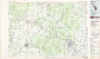 1984 Midland1985 Print · USGSMid-Michigan's industrial and forest lands come into focus in the mid-eighties, centered on the growing hubs of Midland and Mount Pleasant. Genealogists and historians can trace the Chesapeake and Ohio rail corridor through small towns like Rosebush and Edenville.2 unique versions available
 - 1984 Map of Bay City, 1985 Print
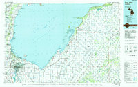 1984 Bay City1985 Print · USGSSaginaw Bay and the surrounding Michigan thumb region are captured in the mid-1980s, showing a landscape defined by industrial riverfronts and expanding lakeside parks. Researchers can trace family roots through landmarks like Floral Gardens Cem or follow the Chesapeake and Ohio rail lines through towns like Bad Axe and Pigeon.
 - 2011 Map of Kawkawlin, 2011 Print
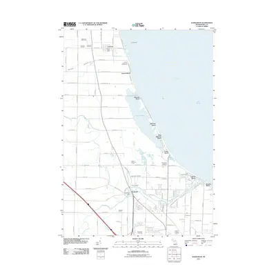 2011 Kawkawlin2011 Print · USGSThe shores of Saginaw Bay come alive in this early twenty-first-century survey of the Bay County coastline. Researchers can trace the layout of waterfront communities like Linwood Beach and Tobico Beach or locate sites such as Calvary Cemetery and the Kawkawlin Oil Field.
 - 2011 Map of Willard, 2011 Print
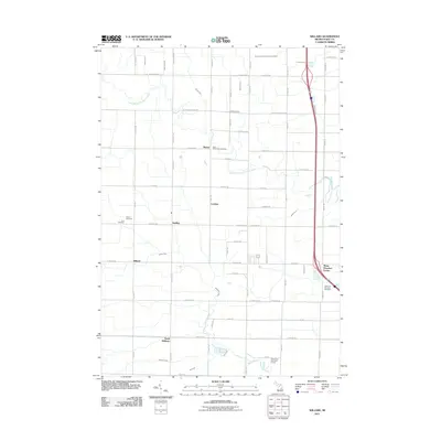 2011 Willard2011 Print · USGSBay County's rural townships are shown here in the early twenty-first century, featuring a landscape defined by drainage canals and crossroads hamlets. Researchers can trace family roots at Beaver Cemetery or Saint Valentine's Cemetery and locate small settlements like Seidlers.
 - 2011 Map of Bay City, 2011 Print
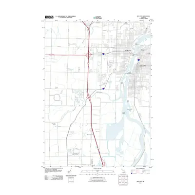 2011 Bay City2011 Print · USGSBay City and its riverfront were entering a new era of development and preservation at the start of the twenty-first century. Genealogists and researchers can locate several major burial grounds such as Oak Ridge Cemetery or trace the river islands of Skull Island and Middle Ground.
 - 2011 Map of Auburn, 2011 Print
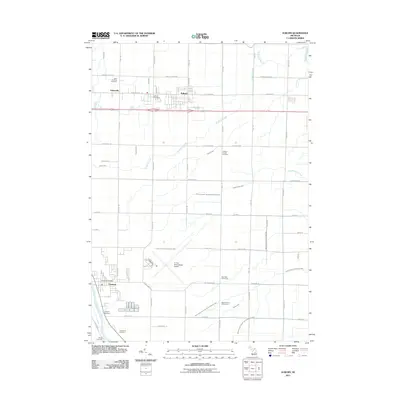 2011 Auburn2011 Print · USGSBay County at the start of the 2010s shows a transition from structured agriculture to growing suburban communities. Researchers can trace family sites at Saint Anthony Cemetery or explore the waterways of the Squaconning Creek and Tittabawassee River.
 - 2014 Map of Auburn, 2014 Print
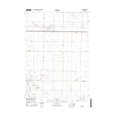 2014 Auburn2014 Print · USGSThe border of Bay and Saginaw counties is captured here in the early twenty-first century, showing the developed agricultural and transport hubs of the region. Genealogists and local historians can locate several family and community landmarks, from Saint Anthony Cemetery to the village of Fisherville.
 - 2014 Map of Willard, 2014 Print
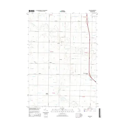 2014 Willard2014 Print · USGSBay County's agricultural heartland is documented here in the early 21st century, showing the small crossroads communities that anchor the region. Researchers can locate family landmarks like Saint Valentine's Cem, Three Churches Corner, and the rural settlement of Seidlers.
 - 2014 Map of Kawkawlin, 2014 Print
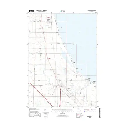 2014 Kawkawlin2014 Print · USGSThe Bay County shoreline along Saginaw Bay comes into focus in this modern era survey of beach communities and wetlands. Genealogists and local historians can trace family sites at Saint Ann Cem or Heavenly Rest Cem and follow the path of the Lake State Railway through Linwood and Kawkawlin.
 - 2014 Map of Bay City, 2014 Print
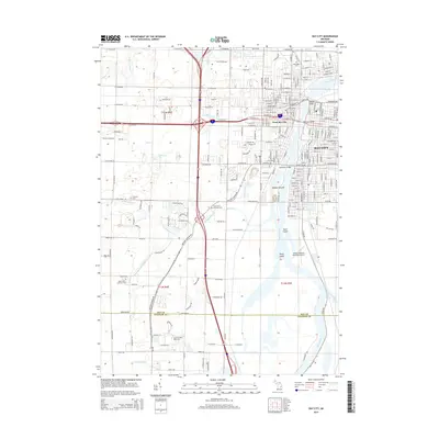 2014 Bay City2014 Print · USGSBay City and its riverfront neighborhoods are shown in detail during the early 21st century. Researchers can trace the urban development across Middle Ground or locate family sites at Oak Ridge Cem and Saint Paul's Lutheran Cem.
 - 2017 Map of Willard, 2017 Print
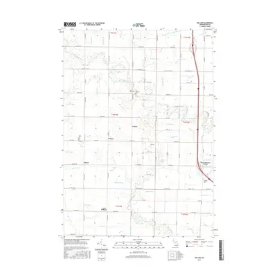 2017 Willard2017 Print · USGSBay County's rural heartland is captured here in the late twenty-tens, showing a landscape defined by generational farming and intricate water management. Researchers can trace family roots through sites like Beaver Cem, Three Churches Corner, and Saint Valentine's Cem.
 - 2017 Map of Kawkawlin, 2017 Print
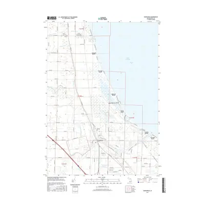 2017 Kawkawlin2017 Print · USGSThe western shores of Saginaw Bay come into focus in the mid-2010s, showing the settled coastline from Linwood to Lagoon Beach. Researchers can find several local cemeteries like Heavenly Rest Cem and trace the paths of the N Br Kawkawlin River and numerous local drains.
Showing maps 1-25 of 35
Top cities near Monitor Township
- Saginaw historical maps
- Midland historical maps
- Bay City historical maps
- Kawkawlin historical maps
- Kochville historical maps
- Essexville historical maps
See more
Top neighborhoods of Monitor Township
Frequently asked questions
- What are the different types of historical maps available for Monitor Township?
- What is the oldest map of Monitor Township?
- Where can I purchase historical maps of Monitor Township for my home or office?
- Where can I download high-res historical maps of Monitor Township?
- Are there historical topographic maps available for Monitor Township?
- Is there historical aerial imagery available for Monitor Township?
- Where are historical maps of Monitor Township sourced from?