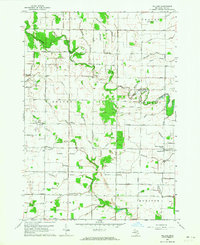
1962 Map of Willard
USGS Topo · Published 1964About this map
Willard and the surrounding agricultural townships of Garfield, Fraser, and Beaver are defined by a complex network of artificial and natural drainage systems. This early 1960s survey reveals a landscape intricately carved by numerous family-named drains, such as the Schmidt Drain and McNally Drain, which support the intensive farming of these Saginaw Bay lowlands. The settlement pattern is anchored by rural crossroads, including Three Churches Corner and North Williams, where local community life revolved around institutions like Zion Sch and the Townhall.
Find a feature on this map
75 named features on this map. Tap any name to fly to it.
Don’t see what you’re looking for? This feature index may not catch every label — zoom into the map to look around manually.
Map Details
Editions of this 1962 Willard Map
2 editions found
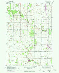
Other maps of this area
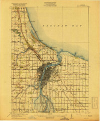
1916 · Bay City
USGS Topo · 1:62,500
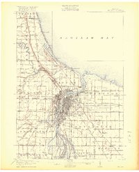
1919 · Bay City
USGS Topo · 1:62,500
1943 · Bay City
USGS Topo · 1:62,500

1954 · Midland
USGS Topo · 1:250,000

1954 · Flint
USGS Topo · 1:250,000

1958 · Flint
USGS Topo · 1:250,000

1958 · Midland
USGS Topo · 1:250,000

1959 · Midland
USGS Topo · 1:250,000
1962 · Midland South
USGS Topo · 1:24,000
1962 · Midland North
USGS Topo · 1:24,000