
1962 Map of Midland South
USGS Topo · Published 1964About this map
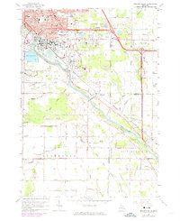
The Tittabawassee River flows southeast through this 1962 landscape, serving as a geographic anchor for the burgeoning city of Midland and its industrial outskirts. The urban core shows a dense grid of schools and parks, including State Street Sch and Central Park, while the surrounding countryside in Ingersoll and Williams townships remains defined by a complex network of drainage canals. These engineered waterways, such as Engle Drain and Major Drain, reflect the intensive land management required for agriculture and industry in the Saginaw Valley.
Find a feature on this map
74 named features on this map. Tap any name to fly to it.
Don’t see what you’re looking for? This feature index may not catch every label — zoom into the map to look around manually.
Map Details
Editions of this 1962 Midland South Map
4 editions found
Other maps of this area

1917 · St. Charles
USGS Topo · 1:62,500

1934 · Sanford
USGS Topo · 1:62,500

1934 · Merrill
USGS Topo · 1:62,500

1936 · Sanford
USGS Topo · 1:62,500

1937 · Merrill
USGS Topo · 1:62,500

1943 · St. Charles
USGS Topo · 1:62,500

1954 · Midland
USGS Topo · 1:250,000

1958 · Midland
USGS Topo · 1:250,000

1959 · Midland
USGS Topo · 1:250,000

1962 · Willard
USGS Topo · 1:24,000