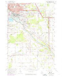
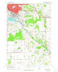
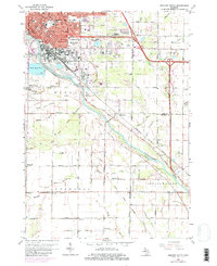
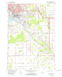
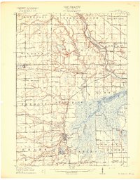
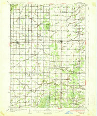
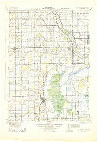
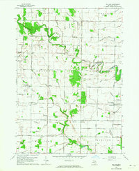
1962 Map of Midland South
USGS Topo · Published 1974About this map
Midland expanded significantly southward in the early 1960s, a growth period documented through these topographic surveys. The industrial character of the region is evident in the numerous Brine Wells and the large Brine Pond No 6 situated near the Tittabawassee River. This watercourse serves as a major geographical anchor, with its banks lined by a complex network of man-made drainage systems like the Lingle Drain and Bullock Creek. The southern landscape transitions into more rural townships such as Ingersoll, where smaller settlements like Poseyville and Mapleton are connected by a grid of country roads. Local infrastructure of the era is well-represented, from the Penn Central rail lines to community hubs such as the Ashman Sch and Pine Grove Cem.
Find a feature on this map
81 named features on this map. Tap any name to fly to it.
Don’t see what you’re looking for? This feature index may not catch every label — zoom into the map to look around manually.
Map Details
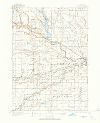
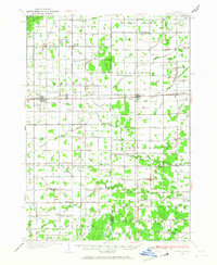
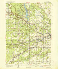
Editions of this 1962 Midland South Map
4 editions found
Other maps of this area
1917 · St. Charles
USGS Topo · 1:62,500
1934 · Sanford
USGS Topo · 1:62,500
1934 · Merrill
USGS Topo · 1:62,500
1936 · Sanford
USGS Topo · 1:62,500
1937 · Merrill
USGS Topo · 1:62,500
1943 · St. Charles
USGS Topo · 1:62,500

1954 · Midland
USGS Topo · 1:250,000

1958 · Midland
USGS Topo · 1:250,000

1959 · Midland
USGS Topo · 1:250,000
1962 · Willard
USGS Topo · 1:24,000
Featured Places
- Midland, MI
- Dean, Midland
- Bullock Creek, Midland Charter Township
- Tittabawassee Township, MI
- Golden, Midland