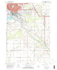
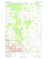
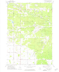
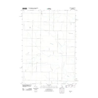
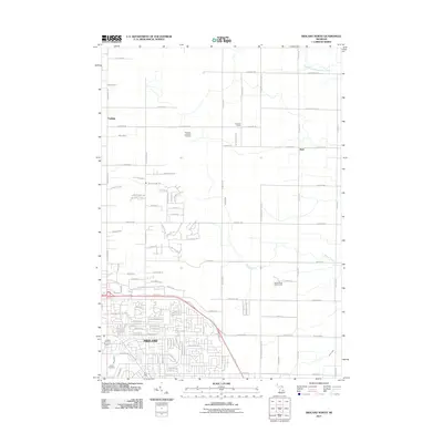
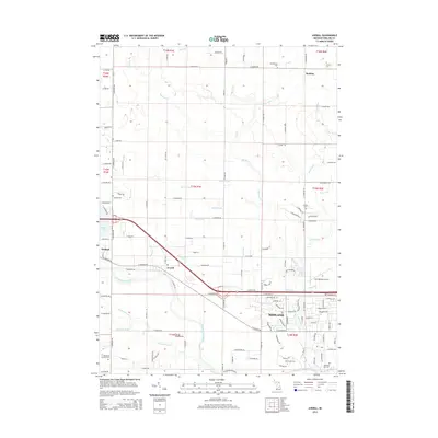
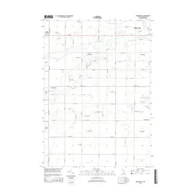
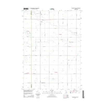
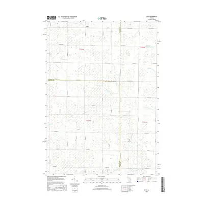
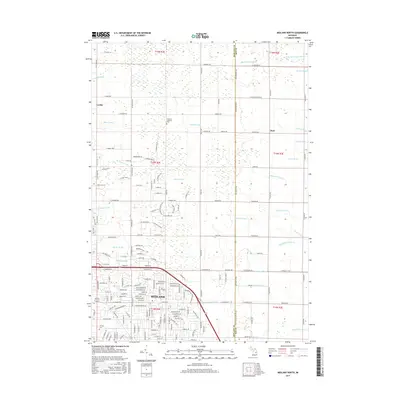
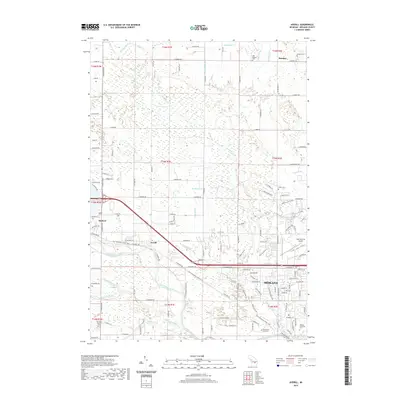
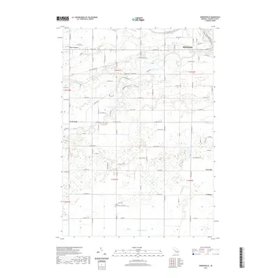
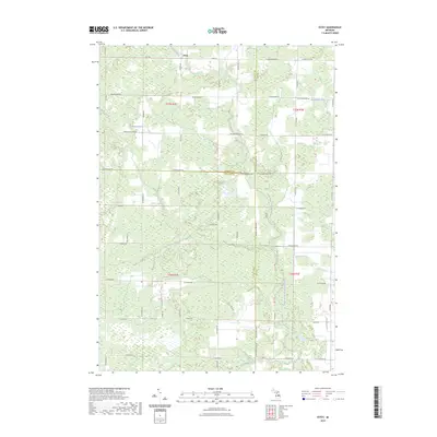
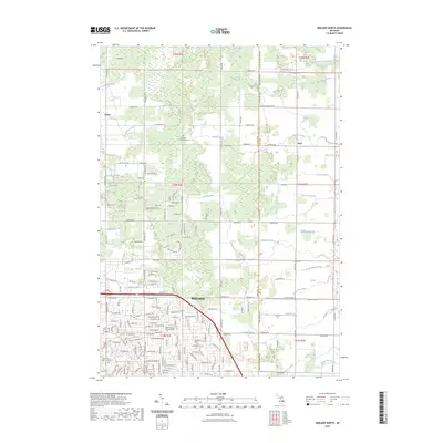
1962 Map of Midland South
USGS Topo · Published 1982About this map
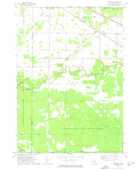
The Tittabawassee River carves a diagonal path through this landscape, acting as a historical corridor for industry and transit south of Midland. By the early 1960s, the area shows a distinct transition from the dense urban grid and park systems of the city—including Currie Bennett Park and St Charles Park—to a rural interior defined by an extensive network of drainage channels like the Shafner and Major Drain and Lingle Drain.
Find a feature on this map
69 named features on this map. Tap any name to fly to it.
Don’t see what you’re looking for? This feature index may not catch every label — zoom into the map to look around manually.
Map Details
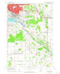
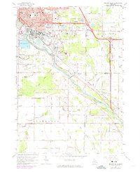
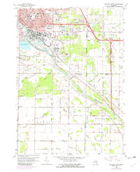
Editions of this 1962 Midland South Map
4 editions found
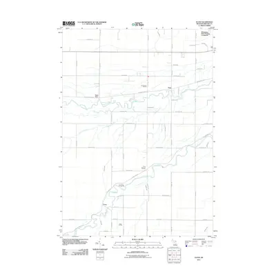
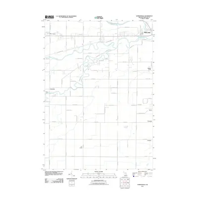
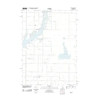
Historical Maps of Midland Through Time
60 maps found
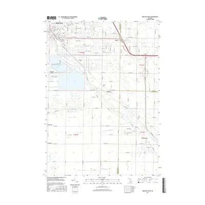
1962 Midland North
Midland County, MI
1962 Midland South
Midland County, MI
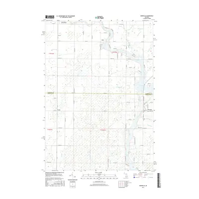
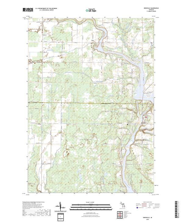
1969 Edenville
Midland County, MI
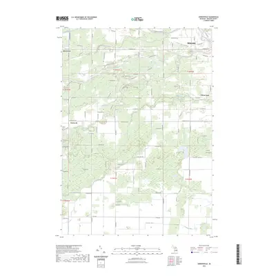
1969 Estey
Midland County, MI
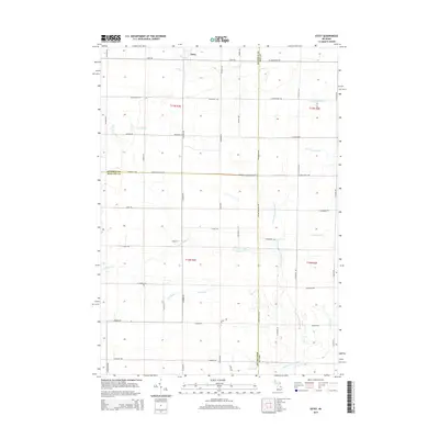
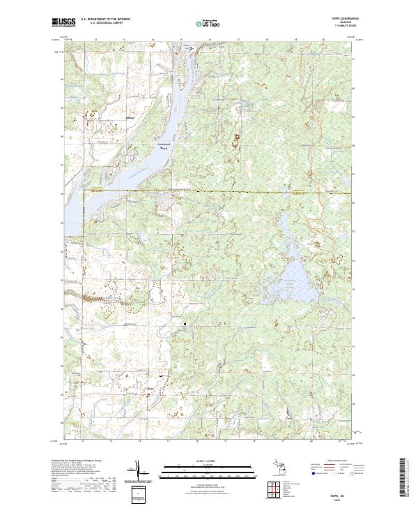
1969 Hope
Midland County, MI
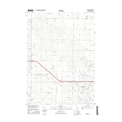
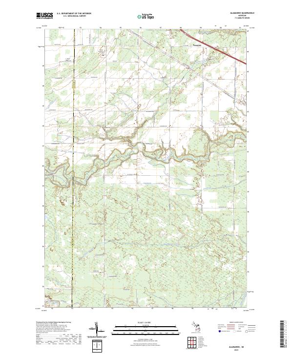
1973 Alamando
Midland County, MI
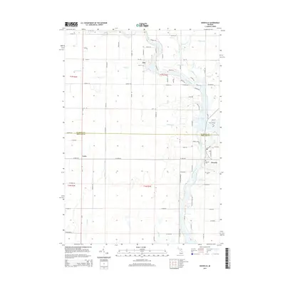
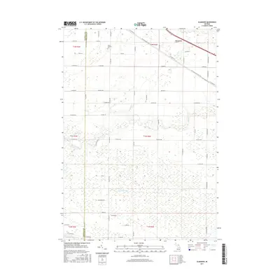
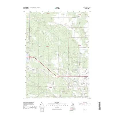
1973 Averill
Midland County, MI
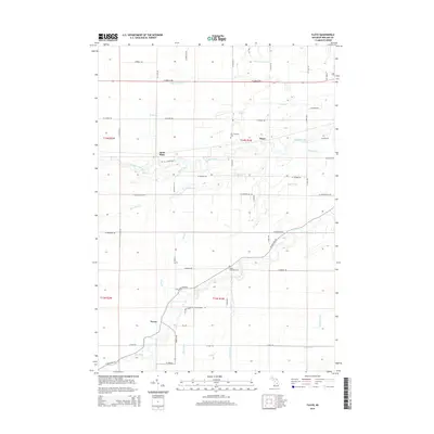
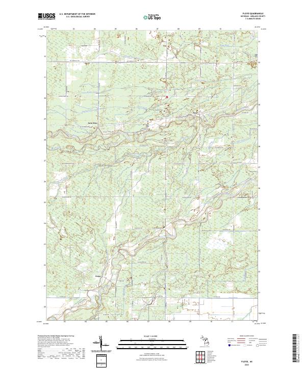
1973 Floyd
Midland County, MI
1973 Gordonville
Midland County, MI
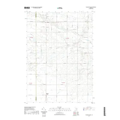
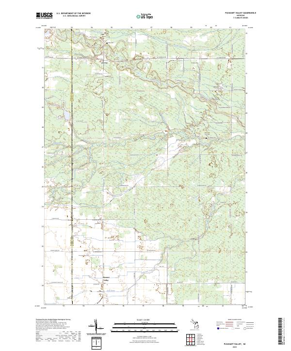
1973 Pleasant Valley
Midland County, MI
2011 Alamando
Midland County, MI
2011 Averill
Midland County, MI
2011 Edenville
Midland County, MI
2011 Estey
Midland County, MI
2011 Floyd
Midland County, MI
2011 Gordonville
Midland County, MI
2011 Hope
Midland County, MI
2011 Midland North
Midland County, MI
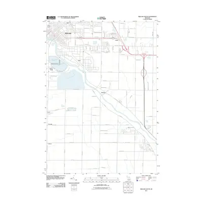
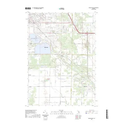
2011 Midland South
Midland County, MI
2011 Pleasant Valley
Midland County, MI
2014 Alamando
Midland County, MI
2014 Averill
Midland County, MI
2014 Edenville
Midland County, MI
2014 Estey
Midland County, MI
2014 Floyd
Midland County, MI
2014 Gordonville
Midland County, MI
2014 Hope
Midland County, MI
2014 Midland North
Midland County, MI
2014 Midland South
Midland County, MI
2014 Pleasant Valley
Midland County, MI
2017 Alamando
Midland County, MI
2017 Averill
Midland County, MI
2017 Edenville
Midland County, MI
2017 Estey
Midland County, MI
2017 Floyd
Midland County, MI
2017 Gordonville
Midland County, MI
2017 Hope
Midland County, MI
2017 Midland North
Midland County, MI
2017 Midland South
Midland County, MI
2017 Pleasant Valley
Midland County, MI
2019 Alamando
Midland County, MI
2019 Averill
Midland County, MI
2019 Edenville
Midland County, MI
2019 Estey
Midland County, MI
2019 Floyd
Midland County, MI
2019 Gordonville
Midland County, MI
2019 Hope
Midland County, MI
2019 Midland North
Midland County, MI
2019 Midland South
Midland County, MI
2019 Pleasant Valley
Midland County, MI
2023 Alamando
Midland County, MI
2023 Averill
Midland County, MI
2023 Edenville
Midland County, MI
2023 Estey
Midland County, MI
2023 Floyd
Midland County, MI
2023 Gordonville
Midland County, MI
2023 Hope
Midland County, MI
2023 Midland North
Midland County, MI
2023 Midland South
Midland County, MI
2023 Pleasant Valley
Midland County, MI
Featured Locations
- Midland, MI
- Tittabawassee Township, MI
- Dean, Midland
- Golden, Midland
- Bullock Creek, Midland Charter Township