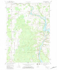
1969 Map of Edenville
USGS Topo · Published 1983About this map
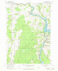
Wixom Lake and the confluence of the Tobacco River and Tittabawassee River define the local landscape near the border of Gladwin and Midland Counties. This 1969 survey documents the river systems before later alterations, showing the infrastructure of the Dam and adjacent Powerplant at Edenville. The map captures a mix of timberlands and early industrial activity, notably within the Au Sable State Forest and the South Beaverton Oil Field. Small settlements like Beaverton, Dale, and Edenville are connected by a network of rural routes such as Beaverton Road and Dale Road. Local landmarks such as St Anne Ch, the Church of God, and Robinson Airfield provide specific points of interest for genealogists and local historians tracking the development of these communities during the late 1960s.
Find a feature on this map
43 named features on this map. Tap any name to fly to it.
Don’t see what you’re looking for? This feature index may not catch every label — zoom into the map to look around manually.
Map Details
Editions of this 1969 Edenville Map
2 editions found
Other maps of this area

1930 · Shepherd
USGS Topo · 1:48,000

1934 · Sanford
USGS Topo · 1:62,500

1936 · Shepherd
USGS Topo · 1:62,500

1936 · Sanford
USGS Topo · 1:62,500

1954 · Midland
USGS Topo · 1:250,000

1958 · Midland
USGS Topo · 1:250,000

1959 · Midland
USGS Topo · 1:250,000

1966 · Midland
USGS Topo · 1:250,000

1969 · Gladwin
USGS Topo · 1:24,000

1969 · Coleman
USGS Topo · 1:24,000