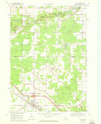
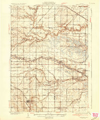
1969 Map of Coleman
USGS Topo · Published 1972About this map
Coleman sits at the junction of four counties in late 1960s Michigan, serving as a vital hub for the surrounding rural townships. The landscape is defined by the heavy infrastructure of the Chesapeake and Ohio railroad and the presence of the West Beaverton Oil Field and South Beaverton Oil Field. These energy resources, along with several Gravel Pits, highlight the mid-century industrial activity that sustained the local economy. In the north, the Tobacco River winds through the terrain toward Ross Lake, while an Old Railroad Grade traces a path through the northeastern corner of the map. Community life is anchored by local landmarks like Daniels Band Ch, Holley Chapel, and multiple instances of a Townhall, reflecting a traditional Midwestern settlement pattern of dispersed farmsteads connected by an orderly grid of namesake roads such as Beaverton Road and Herrick Road.
Find a feature on this map
40 named features on this map. Tap any name to fly to it.
Don’t see what you’re looking for? This feature index may not catch every label — zoom into the map to look around manually.
Map Details
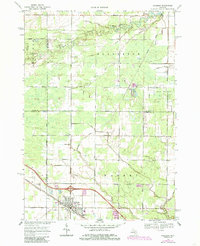
Editions of this 1969 Coleman Map
2 editions found
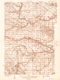
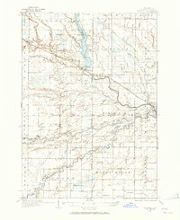
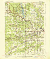
Other maps of this area
1930 · Shepherd
USGS Topo · 1:48,000
1934 · Sanford
USGS Topo · 1:62,500
1936 · Shepherd
USGS Topo · 1:62,500
1936 · Sanford
USGS Topo · 1:62,500

1954 · Midland
USGS Topo · 1:250,000

1958 · Midland
USGS Topo · 1:250,000

1959 · Midland
USGS Topo · 1:250,000

1966 · Midland
USGS Topo · 1:250,000
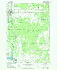
1969 · Gladwin
USGS Topo · 1:24,000
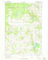
1969 · Browns Corners
USGS Topo · 1:24,000