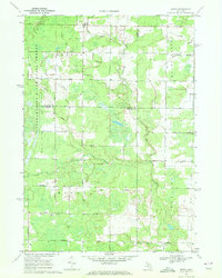
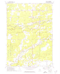
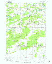
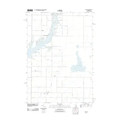
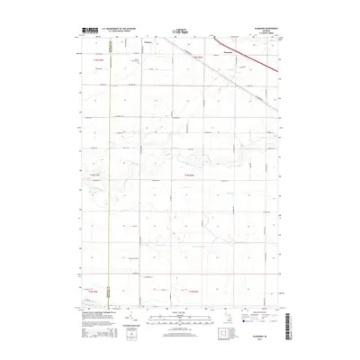
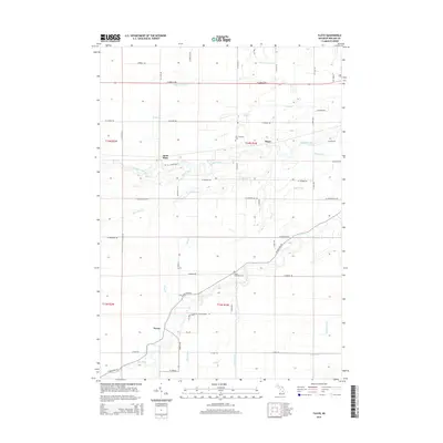
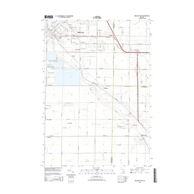
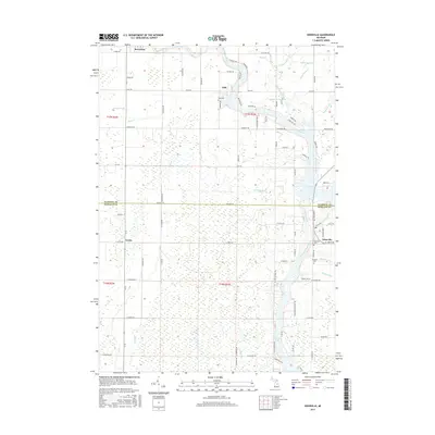
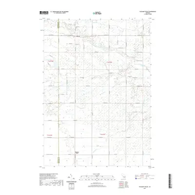
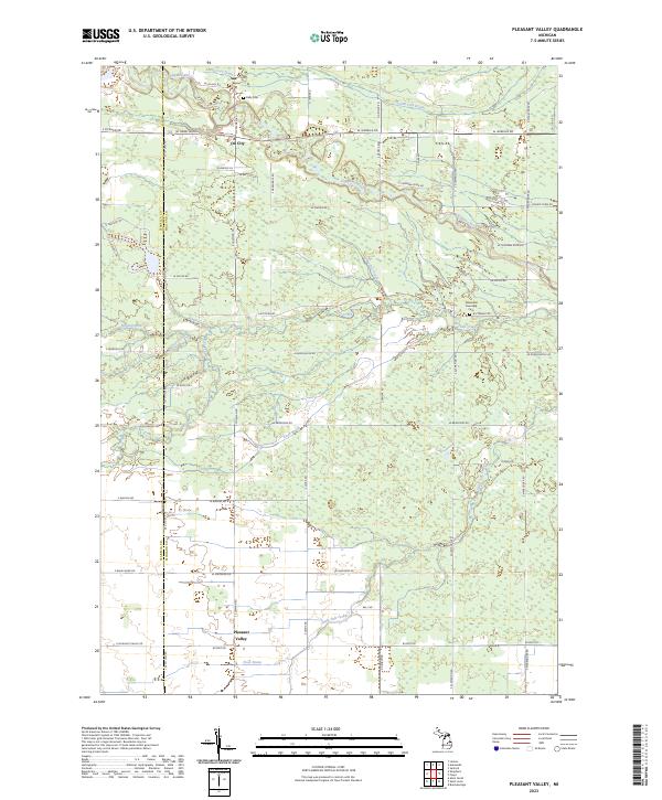
1973 Map of Pleasant Valley
USGS Topo · Published 1976About this map
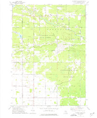
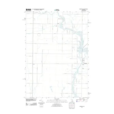
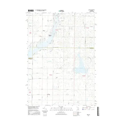
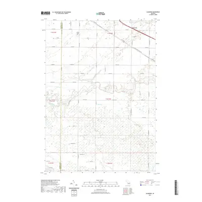
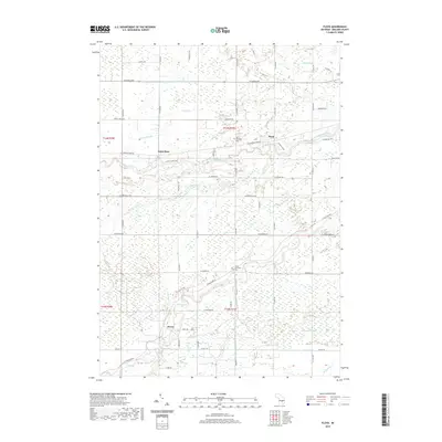
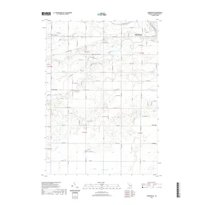
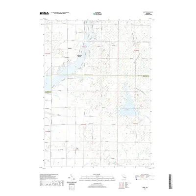
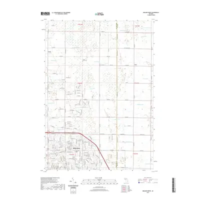
The Mount Pleasant Oil Field and Porter Oil Field define the industrial character of this landscape along the Isabella and Midland county line. The presence of numerous oil wells and a complex network of pipelines crossing the Tittabawassee River State Forest reveals a territory deeply tied to mid-century resource extraction. Central to this activity is the small settlement of Oil City, situated near the confluence of the Chippewa River and several smaller tributaries like Onion Creek and Black Creek.
Find a feature on this map
50 named features on this map. Tap any name to fly to it.
Don’t see what you’re looking for? This feature index may not catch every label — zoom into the map to look around manually.
Map Details
Editions of this 1973 Pleasant Valley Map
This is the sole edition of this map. No revisions or reprints were ever made.
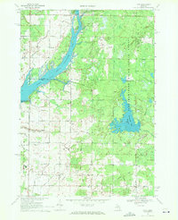
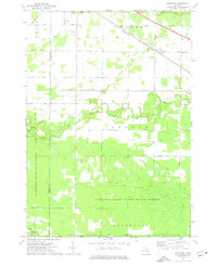
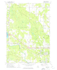
Historical Maps of Coe Township Through Time
60 maps found
1962 Midland North
Midland County, MI
1962 Midland South
Midland County, MI
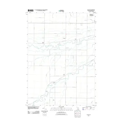
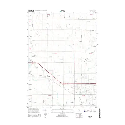
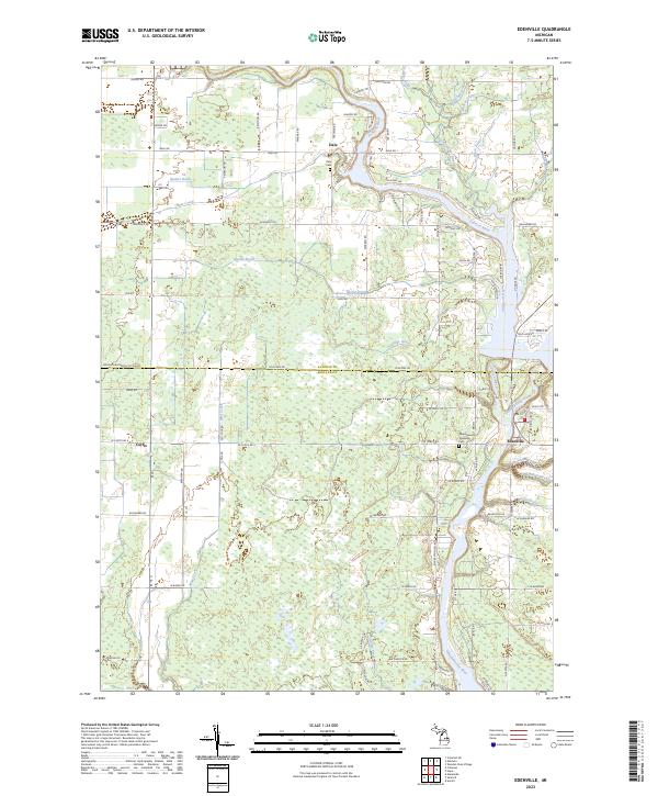
1969 Edenville
Midland County, MI
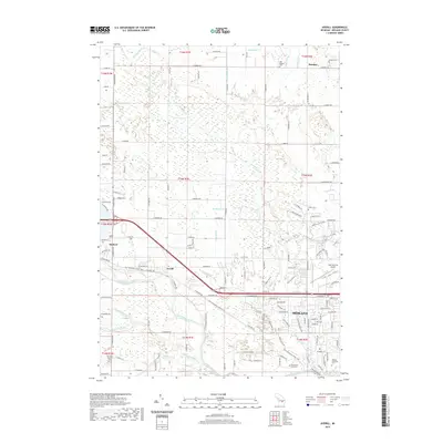
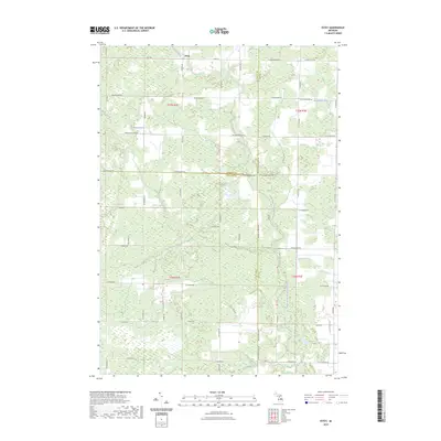
1969 Estey
Midland County, MI
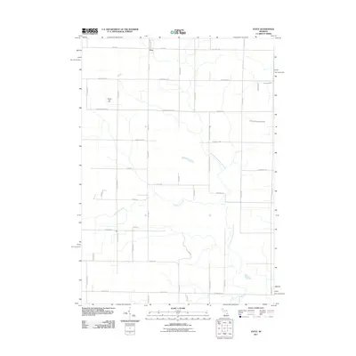
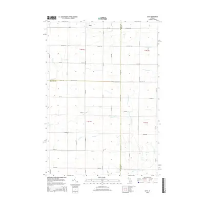
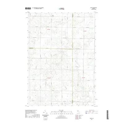
1969 Hope
Midland County, MI
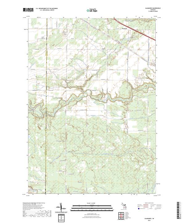
1973 Alamando
Midland County, MI
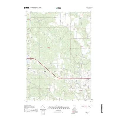
1973 Averill
Midland County, MI
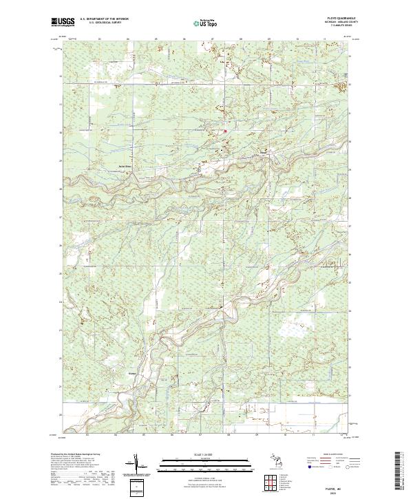
1973 Floyd
Midland County, MI
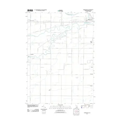
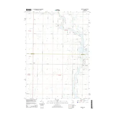
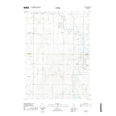
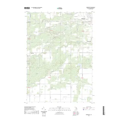
1973 Gordonville
Midland County, MI
1973 Pleasant Valley
Midland County, MI
2011 Alamando
Midland County, MI
2011 Averill
Midland County, MI
2011 Edenville
Midland County, MI
2011 Estey
Midland County, MI
2011 Floyd
Midland County, MI
2011 Gordonville
Midland County, MI
2011 Hope
Midland County, MI
2011 Midland North
Midland County, MI
2011 Midland South
Midland County, MI
2011 Pleasant Valley
Midland County, MI
2014 Alamando
Midland County, MI
2014 Averill
Midland County, MI
2014 Edenville
Midland County, MI
2014 Estey
Midland County, MI
2014 Floyd
Midland County, MI
2014 Gordonville
Midland County, MI
2014 Hope
Midland County, MI
2014 Midland North
Midland County, MI
2014 Midland South
Midland County, MI
2014 Pleasant Valley
Midland County, MI
2017 Alamando
Midland County, MI
2017 Averill
Midland County, MI
2017 Edenville
Midland County, MI
2017 Estey
Midland County, MI
2017 Floyd
Midland County, MI
2017 Gordonville
Midland County, MI
2017 Hope
Midland County, MI
2017 Midland North
Midland County, MI
2017 Midland South
Midland County, MI
2017 Pleasant Valley
Midland County, MI
2019 Alamando
Midland County, MI
2019 Averill
Midland County, MI
2019 Edenville
Midland County, MI
2019 Estey
Midland County, MI
2019 Floyd
Midland County, MI
2019 Gordonville
Midland County, MI
2019 Hope
Midland County, MI
2019 Midland North
Midland County, MI
2019 Midland South
Midland County, MI
2019 Pleasant Valley
Midland County, MI
2023 Alamando
Midland County, MI
2023 Averill
Midland County, MI
2023 Edenville
Midland County, MI
2023 Estey
Midland County, MI
2023 Floyd
Midland County, MI
2023 Gordonville
Midland County, MI
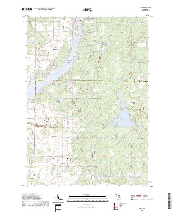
2023 Hope
Midland County, MI
2023 Midland North
Midland County, MI
2023 Midland South
Midland County, MI
2023 Pleasant Valley
Midland County, MI
Featured Locations
- Coe Township, MI
- Chippewa Township, MI
- Greendale Township, MI
- Oil City, Greendale Township
- Pleasant Valley, Jasper Township