2000s (21st Century) Maps of Niles, Michigan
Explore 15 historic maps of Niles from the 2000s (21st Century). These maps offer a rare glimpse into what life looked like during the 2000s — showing old roads, neighborhoods, homes, and landmarks that have changed or disappeared over time.
Whether you're researching your family's past, planning a metal detecting trip, or studying how Niles's landscape evolved across the 2000s, these high-resolution maps are a powerful tool for exploring the history of this region.
- Focus on a specific era: All maps on this page are from the 2000s, giving you a focused view of this time period.
- See what’s changed: Compare century-old streets, trails, and buildings to today's modern landscape using overlays and satellite layers.
- Research with precision: Use these maps for genealogy, historical research, land use analysis, or educational projects.
- View, download, or print: Maps are fully viewable online in high resolution, and can be downloaded or printed for your own records.
Start exploring Niles's history through authentic maps from the 2000s. This is your window into the past.
Niles, MI maps
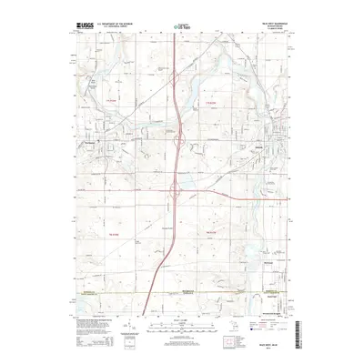
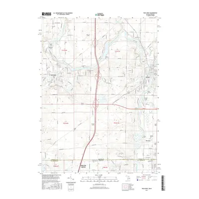
(15)- 2011 Map of Niles East, 2011 Print
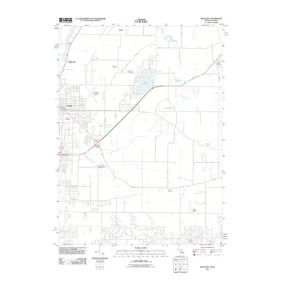 2011 Niles East2011 Print · USGSCovers Niles, including Milton Township, Niles Charter Township, and other nearby areas
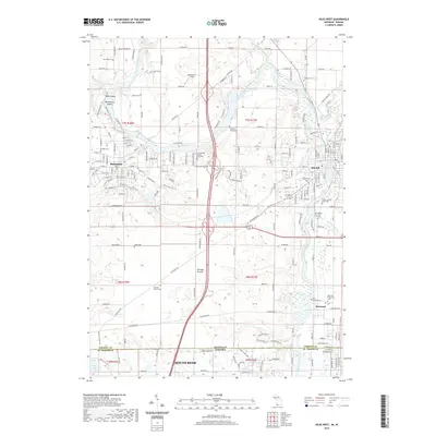
 - 2011 Map of Niles West, 2011 Print
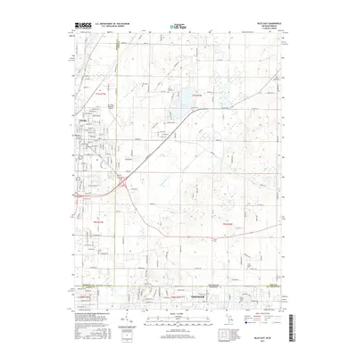
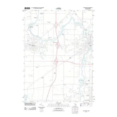 2011 Niles West2011 Print · USGSCovers Niles, including South Bend, Buchanan, and other nearby areas
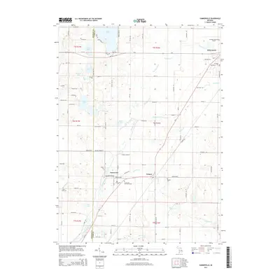
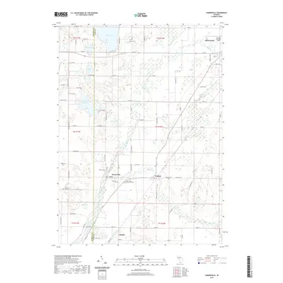
 - 2011 Map of Sumnerville, 2011 Print
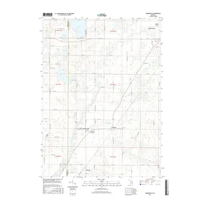
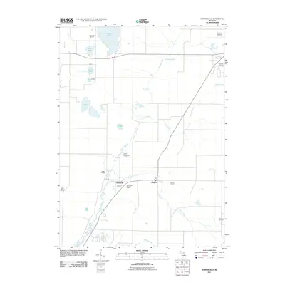 2011 Sumnerville2011 Print · USGSCovers Niles, including Dowagiac, Pokagon, and other nearby areas
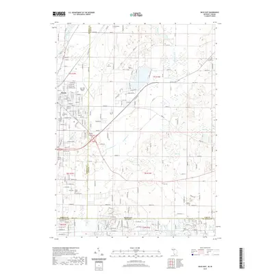
 - 2014 Map of Niles East, 2014 Print
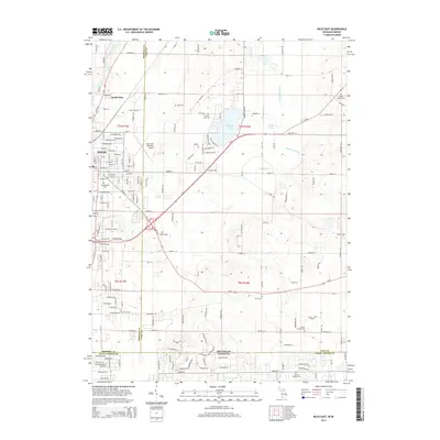 2014 Niles East2014 Print · USGSCovers Niles, including Milton Township, Niles Charter Township, and other nearby areas
 - 2014 Map of Sumnerville, 2014 Print
 2014 Sumnerville2014 Print · USGSCovers Niles, including Dowagiac, Pokagon, and other nearby areas
 - 2014 Map of Niles West, 2014 Print
 2014 Niles West2014 Print · USGSCovers Niles, including South Bend, Buchanan, and other nearby areas
 - 2017 Map of Niles East, 2017 Print
 2017 Niles East2017 Print · USGSCovers Niles, including Milton Township, Niles Charter Township, and other nearby areas
 - 2017 Map of Sumnerville, 2017 Print
 2017 Sumnerville2017 Print · USGSCovers Niles, including Dowagiac, Pokagon, and other nearby areas
 - 2017 Map of Niles West, 2017 Print
 2017 Niles West2017 Print · USGSCovers Niles, including South Bend, Buchanan, and other nearby areas
 - 2019 Map of Niles West, 2019 Print
 2019 Niles West2019 Print · USGSCovers Niles, including South Bend, Buchanan, and other nearby areas
 - 2019 Map of Sumnerville, 2019 Print
 2019 Sumnerville2019 Print · USGSCovers Niles, including Dowagiac, Pokagon, and other nearby areas
 - 2019 Map of Niles East, 2019 Print
 2019 Niles East2019 Print · USGSCovers Niles, including Milton Township, Niles Charter Township, and other nearby areas
 - 2023 Map of Niles East, 2023 Print
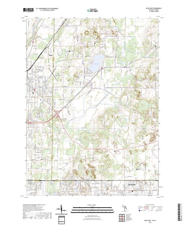 2023 Niles East2023 Print · USGSThe Michigan-Indiana borderlands near Niles and Granger are captured here in the early twenty-first century. Genealogists can trace family sites across many local burial grounds, including Smith's Chapel Cem, Silverbrook Cem, and Harris Prairie Cem.
 - 2023 Map of Sumnerville, 2023 Print
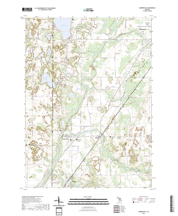 2023 Sumnerville2023 Print · USGSSouthwestern Michigan's rural landscapes between the Dowagiac and Niles area are captured here in the early twenty-first century. Researchers can trace family history at Mission Hills Memorial Gardens or explore the settlements of Sumnerville and Pokagon.
 - 2023 Map of Niles West, 2023 Print
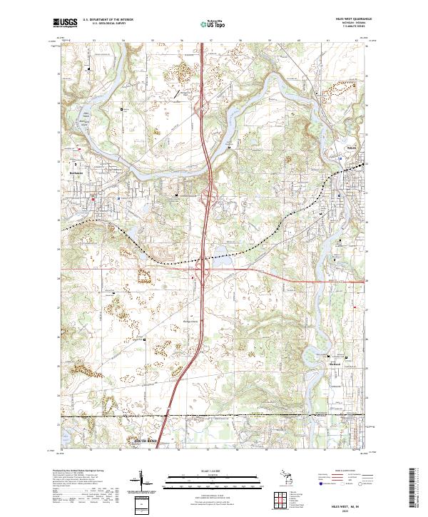 2023 Niles West2023 Print · USGSThe Michigan-Indiana border comes alive in this 2023 survey of the river country between Buchanan and Niles. Researchers can trace local history through numerous burial sites like Portage Prairie Cem and the Father Allouez Grave Site.
End of results
Showing maps 1-15 of 15
Top cities near Niles
- South Bend historical maps
- Elkhart historical maps
- Mishawaka historical maps
- Granger historical maps
- Saint Joseph historical maps
- Notre Dame historical maps
See more
Frequently asked questions
- What are the different types of historical maps available for Niles?
- What is the oldest map of Niles?
- Where can I purchase historical maps of Niles for my home or office?
- Where can I download high-res historical maps of Niles?
- Are there historical topographic maps available for Niles?
- Is there historical aerial imagery available for Niles?
- Where are historical maps of Niles sourced from?