1900s (20th Century) Maps of Niles, Michigan
Explore 11 historic maps of Niles from the 1900s (20th Century). These maps offer a rare glimpse into what life looked like during the 1900s — showing old roads, neighborhoods, homes, and landmarks that have changed or disappeared over time.
Whether you're researching your family's past, planning a metal detecting trip, or studying how Niles's landscape evolved across the 1900s, these high-resolution maps are a powerful tool for exploring the history of this region.
- Focus on a specific era: All maps on this page are from the 1900s, giving you a focused view of this time period.
- See what’s changed: Compare century-old streets, trails, and buildings to today's modern landscape using overlays and satellite layers.
- Research with precision: Use these maps for genealogy, historical research, land use analysis, or educational projects.
- View, download, or print: Maps are fully viewable online in high resolution, and can be downloaded or printed for your own records.
Start exploring Niles's history through authentic maps from the 1900s. This is your window into the past.
Niles, MI maps
(11)- 1927 Map of Niles
 1927 Niles1927 Print · USGSBerrien County and the Michigan-Indiana borderlands are captured here during the late 1920s, showing a landscape of river-powered towns and rural school districts. Genealogists can trace family roots through dozens of local landmarks like Ruggles Cem, Salem Ch, and Emmanuel Missionary College.
 - 1930 Map of Niles
 1930 Niles1930 Print · USGSBerrien County's rural heartland is captured here at the onset of the 1930s, showing the agricultural and riverine landscape before modern development. Genealogists can trace family roots through numerous country schools like Bedinger Sch and landmark sites such as Salem Ch or Pennellwood.4 unique versions available
 - 1943 Map of Niles
 1943 Niles1943 Print · USGSThe St. Joseph River valley in the early 1940s was a landscape defined by small townships and numerous rural school districts. Genealogists can trace family footprints across Berrien Springs and Buchanan, locating family-named sites like Ruggles Cem and Kelsey Sch.
 - 1945 Map of Cassopolis, 1967 Print
 1945 Cassopolis1967 Print · USGSSouthwestern Michigan's rural landscape is captured here in the mid-1940s, showing a dense network of country schools and family-named cemeteries. Genealogists can trace property roots near Barron Lake Cem, Crystal Springs Campground, and numerous landmarks like Morris Chapel.3 unique versions available
 - 1947 Map of Cassopolis
 1947 Cassopolis1947 Print · USGSSouthwest Michigan's lake country is captured here just after the war, showing the busy rail-and-river hubs and rural townships. Researchers can locate dozens of neighborhood schoolhouses like Brooklyn Sch and country churches such as Smith Chapel.2 unique versions available
 - 1953 Map of Chicago, 1964 Print
 1953 Chicago1964 Print · USGSThe southern Lake Michigan shoreline was rapidly modernizing in the mid-fifties, balancing heavy industry with its famous academic centers. Researchers can trace the footprints of Notre Dame University or locate vanished sites like the Kingsbury Ordnance Plant and Meigs Field.5 unique versions available
 - 1957 Map of Chicago
 1957 Chicago1957 Print · USGSThe industrial heartland and southern Great Lakes shoreline are captured here during the peak of mid-century growth. Researchers can trace the massive Gary Steel Works, the grounds of the University of Notre Dame, and the early paths of the Tri-State Tollway.
 - 1971 Map of Niles West, 1973 Print
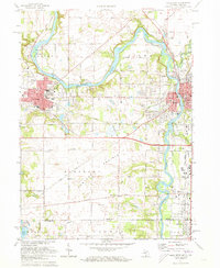 1971 Niles West1973 Print · USGSNiles and Buchanan anchor this 1970s river valley landscape along the Michigan-Indiana border. Researchers can trace ancestral roots at Portage Prairie Ch or locate family plots in St Josephs Cem and Howe Cem.2 unique versions available
 - 1981 Map of Niles East, 1982 Print
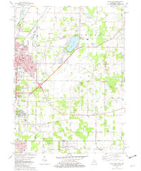 1981 Niles East1982 Print · USGSThe Michigan-Indiana state line and the eastern expansion of NILES are captured here in the early eighties. Researchers can trace family roots at Smith Chapel or Truitt Cem and locate vanished landmarks like the Drive-in Theater and Tyler Memorial Airport.
 - 1981 Map of Sumnerville, 1982 Print
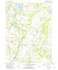 1981 Sumnerville1982 Print · USGSThe borderlands of Berrien and Cass Counties come into focus in the early 1980s, centered on the historic settlements of Sumnerville and Pokagon. Local historians can trace family roots through sites like Pokagon Cem, Franklin Ch, and the winding Dowagiac River.
 - 1983 Map of South Bend, 1984 Print
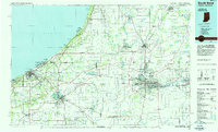 1983 South Bend1984 Print · USGSThe Indiana-Michigan borderlands come alive in this early 1980s overview of the Michiana region's industrial and academic hubs. Researchers can trace the rail networks of Conrail and the Grand Trunk Western alongside landmarks like the University of Notre Dame and Indiana Dunes State Park.2 unique versions available
End of results
Showing maps 1-11 of 11
Top cities near Niles
- South Bend historical maps
- Elkhart historical maps
- Mishawaka historical maps
- Granger historical maps
- Saint Joseph historical maps
- Notre Dame historical maps
See more
Frequently asked questions
- What are the different types of historical maps available for Niles?
- What is the oldest map of Niles?
- Where can I purchase historical maps of Niles for my home or office?
- Where can I download high-res historical maps of Niles?
- Are there historical topographic maps available for Niles?
- Is there historical aerial imagery available for Niles?
- Where are historical maps of Niles sourced from?