2000s (21st Century) Maps of Algansee Township, Michigan
Explore 20 historic maps of Algansee Township from the 2000s (21st Century). These maps offer a rare glimpse into what life looked like during the 2000s — showing old roads, neighborhoods, homes, and landmarks that have changed or disappeared over time.
Whether you're researching your family's past, planning a metal detecting trip, or studying how Algansee Township's landscape evolved across the 2000s, these high-resolution maps are a powerful tool for exploring the history of this region.
- Focus on a specific era: All maps on this page are from the 2000s, giving you a focused view of this time period.
- See what’s changed: Compare century-old streets, trails, and buildings to today's modern landscape using overlays and satellite layers.
- Research with precision: Use these maps for genealogy, historical research, land use analysis, or educational projects.
- View, download, or print: Maps are fully viewable online in high resolution, and can be downloaded or printed for your own records.
Start exploring Algansee Township's history through authentic maps from the 2000s. This is your window into the past.
Algansee Township, MI maps
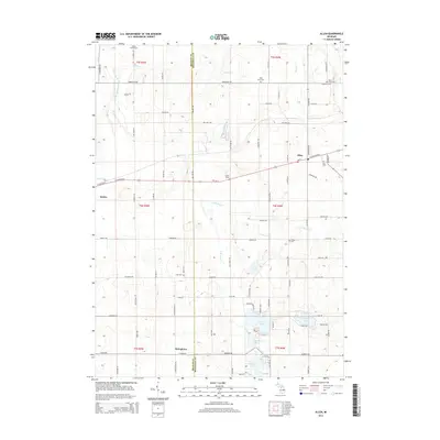
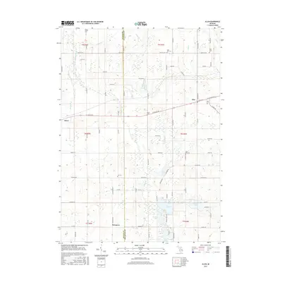
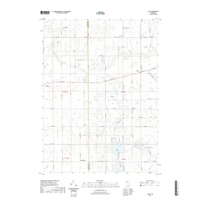
(20)- 2011 Map of Allen, 2011 Print
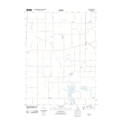 2011 Allen2011 Print · USGSCovers Algansee Township, including Quincy, Allen, and other nearby areas
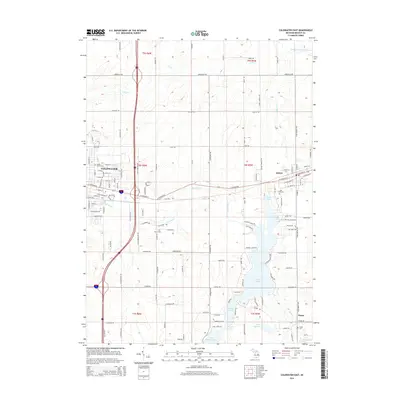
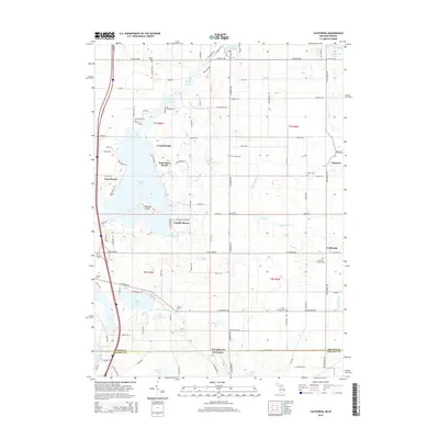
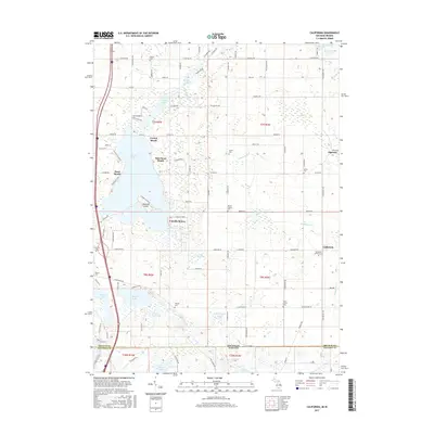
 - 2011 Map of California, 2011 Print
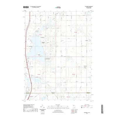
 2011 California2011 Print · USGSCovers Algansee Township, including Algansee, California, and other nearby areas
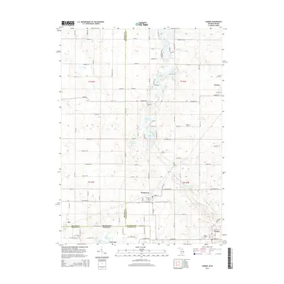
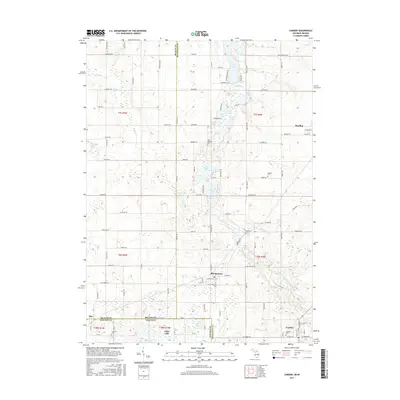
 - 2011 Map of Camden, 2011 Print
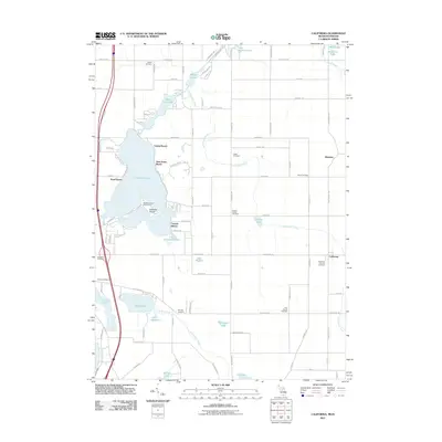
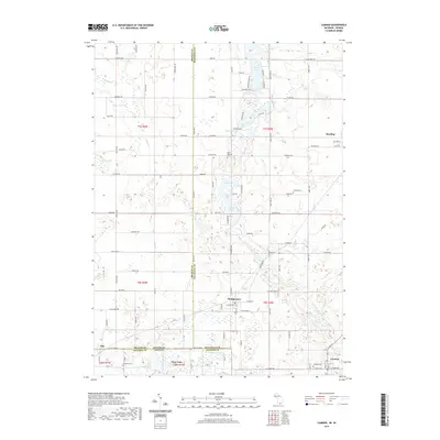
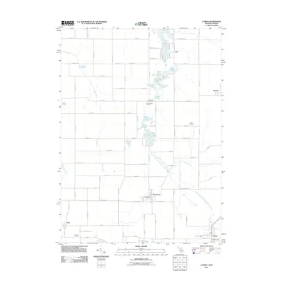 2011 Camden2011 Print · USGSCovers Algansee Township, including Reading, Camden, and other nearby areas
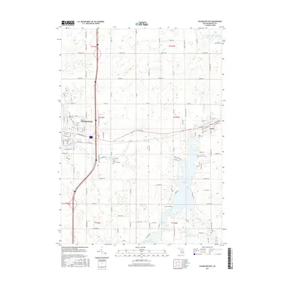
 - 2011 Map of Coldwater East, 2011 Print
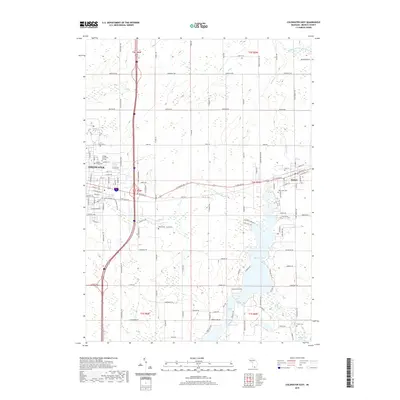
 2011 Coldwater East2011 Print · USGSCovers Algansee Township, including Coldwater, Quincy, and other nearby areas
 - 2014 Map of Coldwater East, 2014 Print
 2014 Coldwater East2014 Print · USGSCovers Algansee Township, including Coldwater, Quincy, and other nearby areas
 - 2014 Map of Allen, 2014 Print
 2014 Allen2014 Print · USGSCovers Algansee Township, including Quincy, Allen, and other nearby areas
 - 2014 Map of California, 2014 Print
 2014 California2014 Print · USGSCovers Algansee Township, including Algansee, California, and other nearby areas
 - 2014 Map of Camden, 2014 Print
 2014 Camden2014 Print · USGSCovers Algansee Township, including Reading, Camden, and other nearby areas
 - 2017 Map of Allen, 2017 Print
 2017 Allen2017 Print · USGSCovers Algansee Township, including Quincy, Allen, and other nearby areas
 - 2017 Map of California, 2017 Print
 2017 California2017 Print · USGSCovers Algansee Township, including Algansee, California, and other nearby areas
 - 2017 Map of Coldwater East, 2017 Print
 2017 Coldwater East2017 Print · USGSCovers Algansee Township, including Coldwater, Quincy, and other nearby areas
 - 2017 Map of Camden, 2017 Print
 2017 Camden2017 Print · USGSCovers Algansee Township, including Reading, Camden, and other nearby areas
 - 2019 Map of California, 2019 Print
 2019 California2019 Print · USGSCovers Algansee Township, including Algansee, California, and other nearby areas
 - 2019 Map of Camden, 2019 Print
 2019 Camden2019 Print · USGSCovers Algansee Township, including Reading, Camden, and other nearby areas
 - 2019 Map of Coldwater East, 2019 Print
 2019 Coldwater East2019 Print · USGSCovers Algansee Township, including Coldwater, Quincy, and other nearby areas
 - 2019 Map of Allen, 2019 Print
 2019 Allen2019 Print · USGSCovers Algansee Township, including Quincy, Allen, and other nearby areas
 - 2023 Map of Allen, 2023 Print
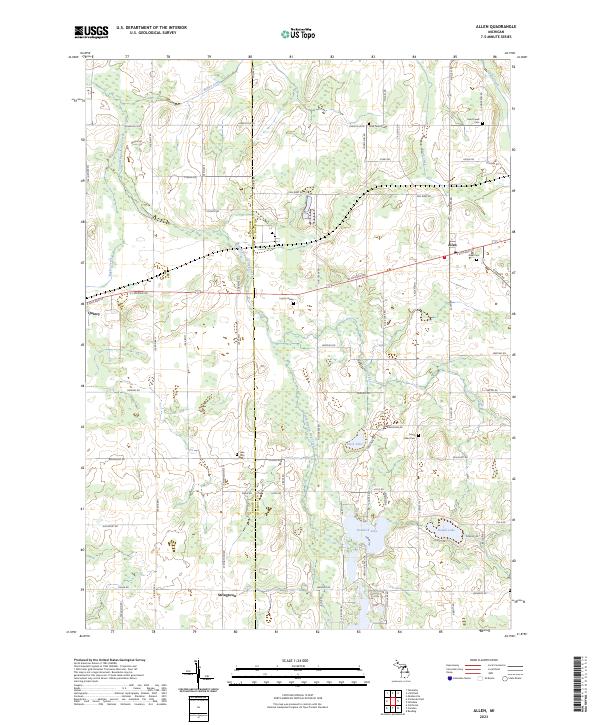 2023 Allen2023 Print · USGSSouthern Michigan's agricultural and lake country comes into focus in the early 2020s as modern roads overlay a landscape shaped by glacial waters. Researchers can pinpoint historic family plots like Todd Town Cem and Layton Grave or trace the drainage of South Branch Hog Creek through Hemlock Lake.
 - 2023 Map of Camden, 2023 Print
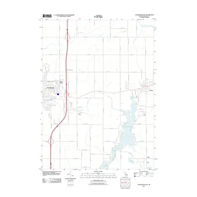
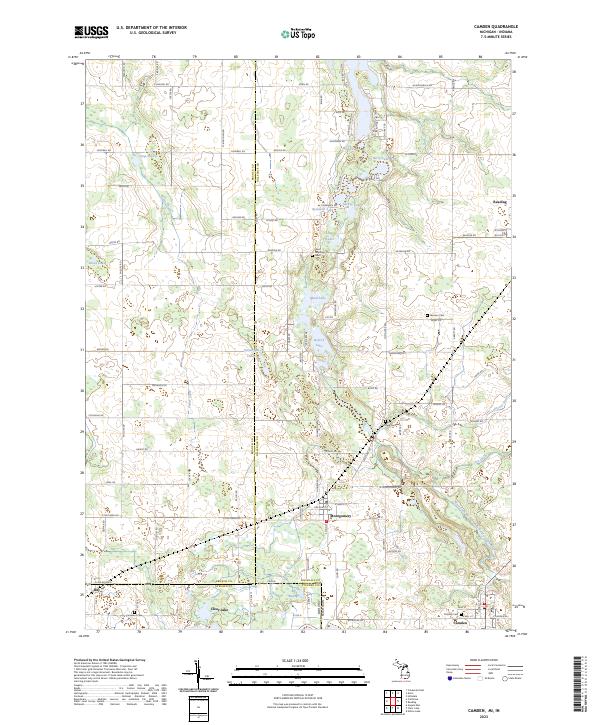 2023 Camden2023 Print · USGSThe Michigan-Indiana state line region near Hillsdale County comes alive in this detailed recent survey. Researchers can trace rural lineages at Covenant Cem and Gleason Cem or explore the lake-studded terrain surrounding Reading and Camden.
 - 2023 Map of Coldwater East, 2023 Print
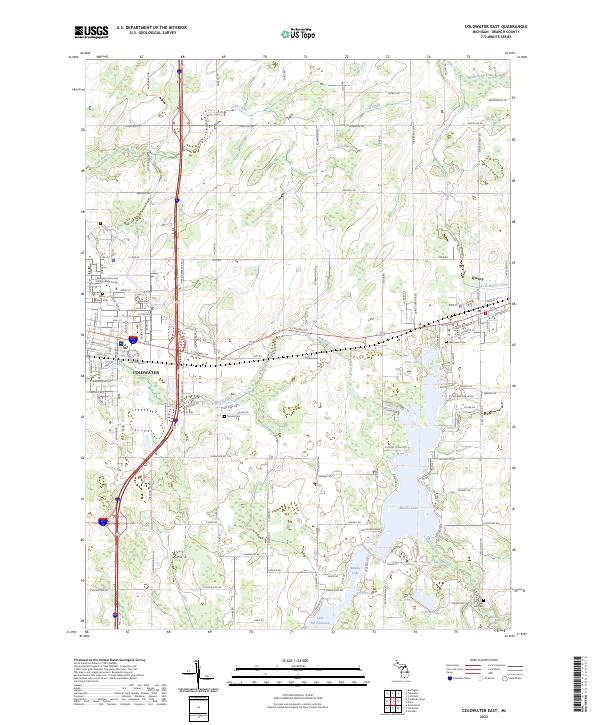 2023 Coldwater East2023 Print · USGSBranch County's lake district and the residential expansion of the early twenty-first century are documented here. Researchers can locate family sites at Morse Street Cem, trace the shoreline of Marble Lake, and follow the Sauk River through Coldwater.
 - 2023 Map of California, 2023 Print
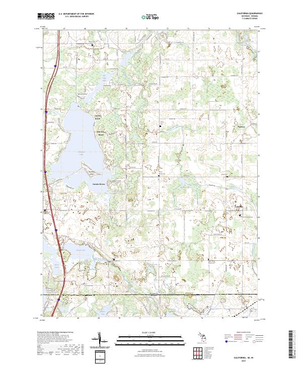 2023 California2023 Print · USGSThe Michigan and Indiana border country comes alive in this survey of lake-front communities and rural townships. Genealogists can trace family roots at the Amish Cem, California Township Cem, or the Hultz Family Cem while exploring the shores of Coldwater Lake.
End of results
Showing maps 1-20 of 20
Top cities near Algansee Township
- Coldwater historical maps
- Angola historical maps
- Hillsdale historical maps
- Jamestown historical maps
- Cambria historical maps
- Jonesville historical maps
See more
Top neighborhoods of Algansee Township
Frequently asked questions
- What are the different types of historical maps available for Algansee Township?
- What is the oldest map of Algansee Township?
- Where can I purchase historical maps of Algansee Township for my home or office?
- Where can I download high-res historical maps of Algansee Township?
- Are there historical topographic maps available for Algansee Township?
- Is there historical aerial imagery available for Algansee Township?
- Where are historical maps of Algansee Township sourced from?