Old Maps of Algansee Township, Michigan for Metal Detecting
Plan your next treasure hunt with 29 historic maps of Algansee Township. Find old homesites, ghost towns, trails, and gathering spots that may be lost to time — perfect for identifying promising metal detecting locations.
- Locate forgotten sites: Uncover places like long-lost settlements, abandoned rail lines, or gathering spots.
- Plan better hunts: Use map overlays combined with LiDAR or satellite views to narrow in on historically rich areas.
- Made for detectorists: Thousands of hobbyists use these maps to discover relics, coins, and hidden history.
Use these historic maps to boost your research and find new opportunities beneath the surface of Algansee Township.
Algansee Township, MI maps
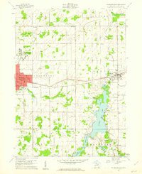
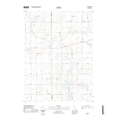
(29)- 1953 Map of Fort Wayne, 1963 Print
 1953 Fort Wayne1963 Print · USGSNortheast Indiana and its neighboring borderlands in Michigan and Ohio appear here during a peak era of rail and road expansion. Researchers can trace the massive rail networks of the Nickel Plate Road and Wabash or locate lakeside landmarks like Lake Wawasee and Clear Lake.4 unique versions available
 - 1956 Map of Fort Wayne
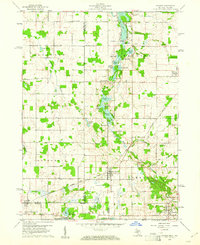
 1956 Fort Wayne1956 Print · USGSThe tri-state borderlands of Indiana, Michigan, and Ohio are captured here in the mid-fifties, centered on the growing industrial hub of Fort Wayne. Researchers can trace the heavy rail lines of the New York Central and Pennsylvania alongside prominent water features like Lake Wawasee and the Maumee River.2 unique versions available
 - 1960 Map of Coldwater East, 1961 Print
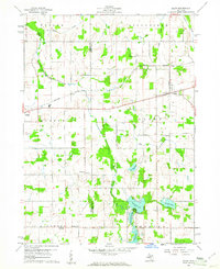
 1960 Coldwater East1961 Print · USGSBranch County enters the sixties with a thriving network of lakefront communities and rail-side industry. Researchers can trace family roots through Mason Cem, visit the old Mudge Sch, or follow the New York Central through Quincy.2 unique versions available
 - 1960 Map of Camden, 1961 Print
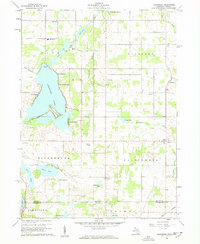
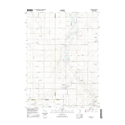
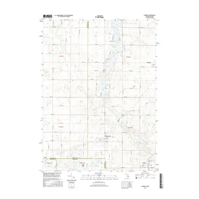
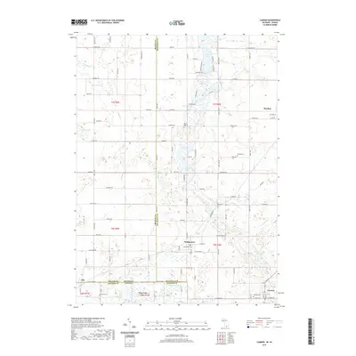
 1960 Camden1961 Print · USGSHillsdale County and the tri-state border region are captured here in the early sixties as the rail-and-river economy of southern Michigan flourished. Researchers can trace family sites like Maple Lawn Cem or follow the New York Central through Montgomery.2 unique versions available
 - 1960 Map of Allen, 1961 Print
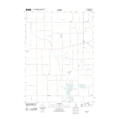
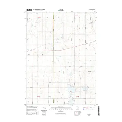
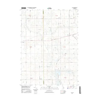
 1960 Allen1961 Print · USGSBranch and Hillsdale counties are captured here in the early 1960s, showing a traditional Michigan landscape of rail towns and lakeside camps. Researchers can locate the Jordan Sch, trace the New York Central line through Allen, or find the Lake Cem.3 unique versions available
 - 1960 Map of California, 1962 Print
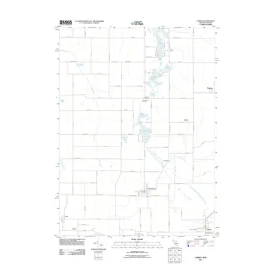
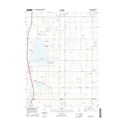
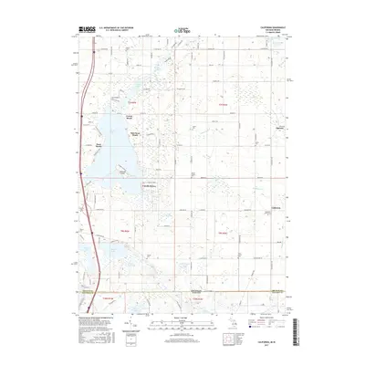
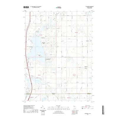
 1960 California1962 Print · USGSBranch County, Michigan, and Steuben County, Indiana, meet at the state line in this 1960 survey. Researchers can trace rural lineages through numerous cemeteries like Wilson Cem and Lester Cem or locate the old Amish Sch and Stokes Chapel.2 unique versions available
 - 1985 Map of Adrian
 1985 Adrian1985 Print · USGSThe tri-state borderlands of Michigan, Indiana, and Ohio were well-established by the mid-1980s, characterized by a dense network of glacial lakes and agricultural rail hubs. Genealogists and historians can trace rail lines like the Norfolk and Western Railway and locate landmarks such as the Old Indian Treaty Cem or Riverside Cem.
 - 1990 Map of Adrian, 1991 Print
 1990 Adrian1991 Print · USGSThe Michigan and Ohio borderlands come alive in the final decade of the twentieth century, showing the intricate network of glacial lakes and small-town junctions. Genealogists and local researchers can pinpoint family landmarks from Lakeview Cem to the rail sidings of the Conrail and Norfolk Southern lines.
 - 1992 Map of Camden, 1995 Print
 1992 Camden1995 Print · USGSThe Michigan-Indiana border comes alive in the 1990s as it appeared before modern development altered these rural township landscapes. Researchers can locate family landmarks like Gleason Cem, the West Reading Ch, and numerous named lakes from Loon Lake to Mead Lake.
 - 2011 Map of Allen, 2011 Print
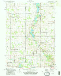
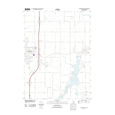
 2011 Allen2011 Print · USGSCovers Algansee Township, including Quincy, Allen, and other nearby areas
 - 2011 Map of California, 2011 Print
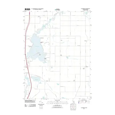 2011 California2011 Print · USGSCovers Algansee Township, including Algansee, California, and other nearby areas
 - 2011 Map of Camden, 2011 Print
 2011 Camden2011 Print · USGSCovers Algansee Township, including Reading, Camden, and other nearby areas
 - 2011 Map of Coldwater East, 2011 Print
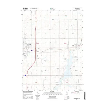
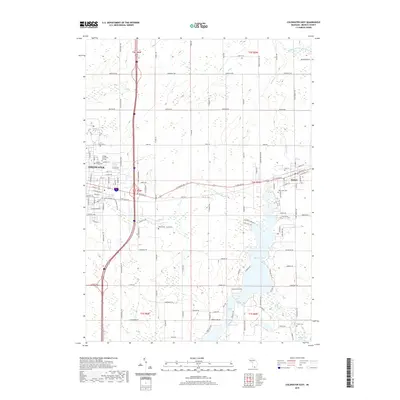
 2011 Coldwater East2011 Print · USGSCovers Algansee Township, including Coldwater, Quincy, and other nearby areas
 - 2014 Map of Coldwater East, 2014 Print
 2014 Coldwater East2014 Print · USGSCovers Algansee Township, including Coldwater, Quincy, and other nearby areas
 - 2014 Map of Allen, 2014 Print
 2014 Allen2014 Print · USGSCovers Algansee Township, including Quincy, Allen, and other nearby areas
 - 2014 Map of California, 2014 Print
 2014 California2014 Print · USGSCovers Algansee Township, including Algansee, California, and other nearby areas
 - 2014 Map of Camden, 2014 Print
 2014 Camden2014 Print · USGSCovers Algansee Township, including Reading, Camden, and other nearby areas
 - 2017 Map of Allen, 2017 Print
 2017 Allen2017 Print · USGSCovers Algansee Township, including Quincy, Allen, and other nearby areas
 - 2017 Map of California, 2017 Print
 2017 California2017 Print · USGSCovers Algansee Township, including Algansee, California, and other nearby areas
 - 2017 Map of Coldwater East, 2017 Print
 2017 Coldwater East2017 Print · USGSCovers Algansee Township, including Coldwater, Quincy, and other nearby areas
 - 2017 Map of Camden, 2017 Print
 2017 Camden2017 Print · USGSCovers Algansee Township, including Reading, Camden, and other nearby areas
 - 2019 Map of California, 2019 Print
 2019 California2019 Print · USGSCovers Algansee Township, including Algansee, California, and other nearby areas
 - 2019 Map of Camden, 2019 Print
 2019 Camden2019 Print · USGSCovers Algansee Township, including Reading, Camden, and other nearby areas
 - 2019 Map of Coldwater East, 2019 Print
 2019 Coldwater East2019 Print · USGSCovers Algansee Township, including Coldwater, Quincy, and other nearby areas
 - 2019 Map of Allen, 2019 Print
 2019 Allen2019 Print · USGSCovers Algansee Township, including Quincy, Allen, and other nearby areas
Showing maps 1-25 of 29
Top cities near Algansee Township
- Coldwater historical maps
- Angola historical maps
- Hillsdale historical maps
- Jamestown historical maps
- Cambria historical maps
- Jonesville historical maps
See more
Top neighborhoods of Algansee Township
Frequently asked questions
- What are the different types of historical maps available for Algansee Township?
- What is the oldest map of Algansee Township?
- Where can I purchase historical maps of Algansee Township for my home or office?
- Where can I download high-res historical maps of Algansee Township?
- Are there historical topographic maps available for Algansee Township?
- Is there historical aerial imagery available for Algansee Township?
- Where are historical maps of Algansee Township sourced from?