2020s Maps of Sheridan Township, Michigan
Explore 4 historic maps of Sheridan Township from the 2020s. These maps offer a rare glimpse into what life looked like during the 2020s — showing old roads, neighborhoods, homes, and landmarks that have changed or disappeared over time.
Whether you're researching your family's past, planning a metal detecting trip, or studying how Sheridan Township's landscape evolved across the 2020s, these high-resolution maps are a powerful tool for exploring the history of this region.
- Focus on a specific era: All maps on this page are from the 2020s, giving you a focused view of this time period.
- See what’s changed: Compare century-old streets, trails, and buildings to today's modern landscape using overlays and satellite layers.
- Research with precision: Use these maps for genealogy, historical research, land use analysis, or educational projects.
- View, download, or print: Maps are fully viewable online in high resolution, and can be downloaded or printed for your own records.
Start exploring Sheridan Township's history through authentic maps from the 2020s. This is your window into the past.
Sheridan Township, MI maps
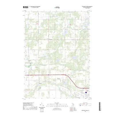
(4)- 2023 Map of Northeast Albion, 2023 Print
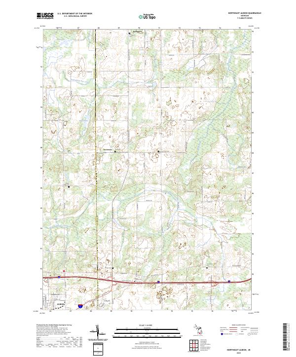 2023 Northeast Albion2023 Print · USGSCentral Michigan farmland and the northern outskirts of Albion are mapped here in the early 2020s. Researchers can trace rural lineages through numerous local burial sites like Smithfield Cem, Graham Cem, and the settlement at Devereaux.
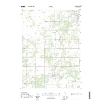
 - 2023 Map of Southeast Albion, 2023 Print
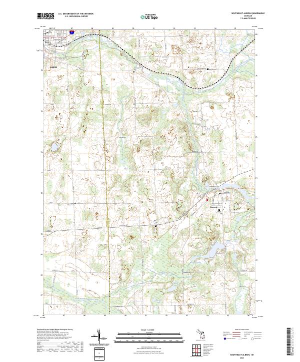 2023 Southeast Albion2023 Print · USGSJackson and Calhoun counties are surveyed here in the early twenty-first century, showing the developed landscapes between Albion and Concord. Researchers can find numerous historic burial sites like Maple Grove Cem and West Concord Cem along the North Branch Kalamazoo River.
 - 2023 Map of Northwest Albion, 2023 Print
 2023 Northwest Albion2023 Print · USGSCalhoun County's river valleys and glacial lake districts are captured here in the early twenty-first century. Researchers can trace rural lineages through numerous burial grounds like Rice Creek Cem and Davis Cem or locate the village of Marengo.
 - 2023 Map of Southwest Albion, 2023 Print
 2023 Southwest Albion2023 Print · USGSCalhoun County's rural landscape and small towns are captured here in the early twenty-first century as the river system continues to shape the region. Genealogists can trace family names at Cooks Prairie Cem, Fairview Cem, and Riverside Cem.
End of results
Showing maps 1-4 of 4
Top cities near Sheridan Township
- Albion historical maps
- Spring Arbor Township historical maps
- Marshall historical maps
- Eaton Rapids historical maps
- Onondaga historical maps
- Spring Arbor historical maps
See more
Frequently asked questions
- What are the different types of historical maps available for Sheridan Township?
- What is the oldest map of Sheridan Township?
- Where can I purchase historical maps of Sheridan Township for my home or office?
- Where can I download high-res historical maps of Sheridan Township?
- Are there historical topographic maps available for Sheridan Township?
- Is there historical aerial imagery available for Sheridan Township?
- Where are historical maps of Sheridan Township sourced from?