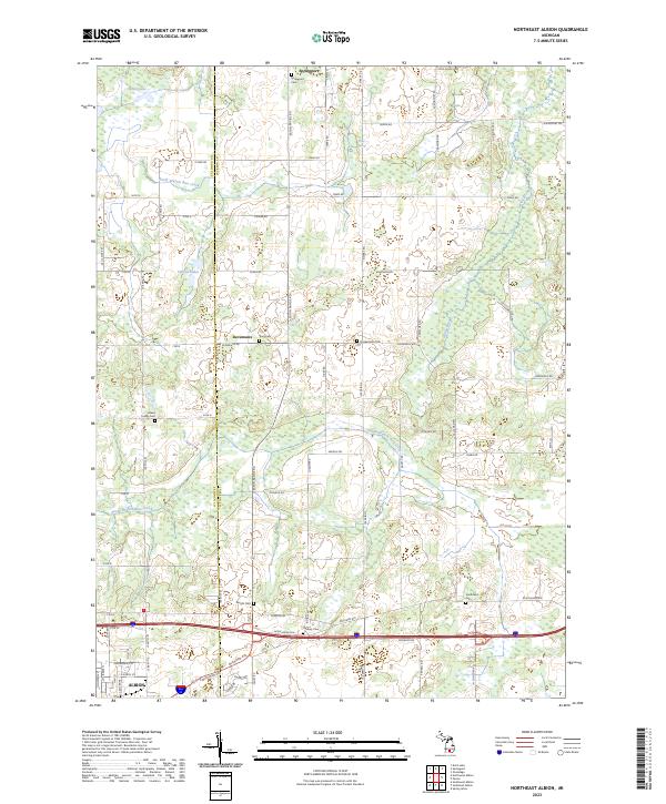
2023 Map of Northeast Albion
USGS Topo · Published 2023About this map
The northern reaches of the Albion vicinity and the rural landscapes of Jackson and Calhoun counties are defined by a network of agricultural roads and low-lying wetlands. In this modern survey, the village of Springport stands as the primary northern settlement, surrounded by historical burial grounds such as Springport Cem and the nearby King Cem. The terrain is shaped by the wandering paths of North Branch Rice Creek and South Branch Rice Creek, which feed into numerous small marshy basins and natural features like White Lake and the Cistern Lakes.
Find a feature on this map
77 named features on this map. Tap any name to fly to it.
Don’t see what you’re looking for? This feature index may not catch every label — zoom into the map to look around manually.
Map Details
Editions of this 2023 Northeast Albion Map
This is the sole edition of this map. No revisions or reprints were ever made.
Other maps of this area

1919 · Springport
USGS Topo · 1:62,500

1921 · Springport
USGS Topo · 1:62,500

1921 · Marshall
USGS Topo · 1:62,500

1923 · Marshall
USGS Topo · 1:62,500

1943 · Marshall
USGS Topo · 1:62,500

1948 · Spring Arbor
USGS Topo · 1:62,500

1948 · Homer
USGS Topo · 1:62,500

1949 · Homer
USGS Topo · 1:62,500

1949 · Spring Arbor
USGS Topo · 1:62,500

1958 · Grand Rapids
USGS Topo · 1:250,000