Old Maps of Boyne Valley Township, Michigan for Academic Research
Study the evolution of Boyne Valley Township with 12 high-resolution historic maps. Whether you're teaching, researching, or modeling changes in land use, these maps provide essential visual documentation of urban, environmental, and geographic change.
- Analyze long-term change: Track patterns in development, transportation, and natural features.
- Ideal for environmental or urban studies: Support academic projects with primary historical map data.
- Use in the classroom or lab: Educators and researchers rely on these maps to bring historical context to life.
These maps are a powerful tool for teaching, research, and visualizing how Boyne Valley Township has changed over the decades.
Boyne Valley Township, MI maps
(12)- 1955 Map of Cheboygan, 1964 Print
 1955 Cheboygan1964 Print · USGSNorthern Michigan in the mid-fifties is a landscape of dense timber and deep water, showing the region just as the road network began to modernize. Trace family roots in lakeside towns like St Ignace and Petoskey, or follow the historic tracks of the Pennsylvania RR and New York Central RR.5 unique versions available
 - 1958 Map of Cheboygan
 1958 Cheboygan1958 Print · USGSThe tip of Michigan's Lower Peninsula and the surrounding Great Lakes islands are shown here in the late fifties, during the peak of the rail-and-ferry era. Trace the paths of the Pennsylvania RR and explore lakeside settlements like St James, Petoskey, and Indian River.2 unique versions available
 - 1961 Map of Boyne Falls, 1963 Print
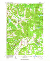 1961 Boyne Falls1963 Print · USGSNorthern Michigan’s timber and ski country is shown here in the early sixties as the recreational economy began to reshape the landscape. Researchers can trace family roots at St Augustine Cem, locate the old Schoolhouse, or follow the Pennsylvania rail line through Boyne Falls and Elmira.2 unique versions available
 - 1982 Map of Petoskey
 1982 Petoskey1982 Print · USGSNorthern Michigan in the early eighties shows a landscape of deep timber and vast inland lakes. Genealogists and historians can trace the rail corridors of the Michigan Central and Detroit and Mackinac between Petoskey, Gaylord, and Wolverine.
 - 1986 Map of Deadmans Hill
 1986 Deadmans Hill1986 Print · USGSAntrim and Charlevoix counties are captured here in the mid-1980s, showcasing a landscape of state forest and river valleys. Genealogists and researchers can trace the Dismantled RR grades, find the Cem, and locate the Jordan River National Fish Hatchery.
 - 1986 Map of Thumb Lake
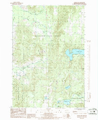 1986 Thumb Lake1986 Print · USGSCharlevoix County’s wooded uplands and glacial lakes are captured here in the mid-1980s, showcasing a landscape shaped by both recreation and state forest management. You can trace an Old RR Grade through the hills or locate family landmarks like the Cem and Thumb Lake.
 - 1986 Map of Boyne Falls
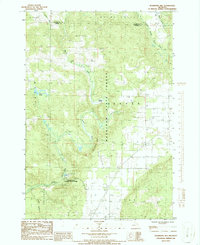
 1986 Boyne Falls1986 Print · USGSBoyne Falls and the surrounding Charlevoix County highlands are captured here during the mid-eighties as recreation and industry shared the landscape. Researchers can trace the Old RR Grade through the Mackinaw State Forest or locate the Hydroelectric Plant near Deer Lake.
 - 1986 Map of Elmira
 1986 Elmira1986 Print · USGSNorthern Michigan's highland lake country is captured here in the mid-eighties, centered on the tri-county junction of Otsego, Antrim, and Charlevoix. Local historians can trace the Old Railroad Grade near Elmira or locate family plots at the local Cem.
 - 2023 Map of Thumb Lake, 2023 Print
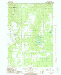
 2023 Thumb Lake2023 Print · USGSCharlevoix County’s high ridges and glacial lakes are shown here in recent detail, capturing a landscape of headwater streams and forest trails. Researchers can locate family landmarks like Chandler Cem and Hudson Cem or trace the shores of Thumb Lake and Hoffman Lake.
 - 2023 Map of Deadmans Hill, 2023 Print
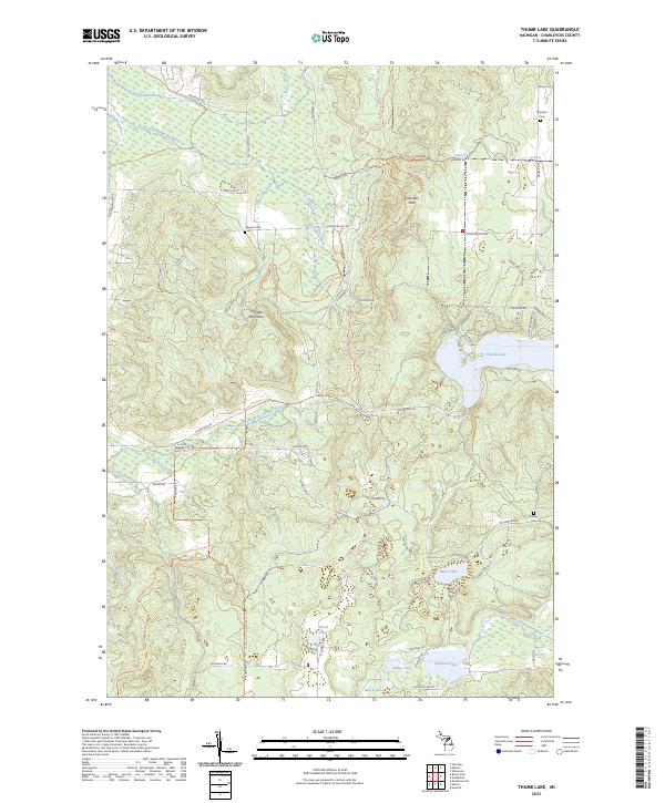
 2023 Deadmans Hill2023 Print · USGSAntrim and Charlevoix counties meet in this 2023 survey of the northern Michigan highlands. Local historians can trace the Jordan River valley from Deadmans Hill to the Jordan River National Fish Hatchery, while locating family sites at Brown Cem.
 - 2023 Map of Elmira, 2023 Print
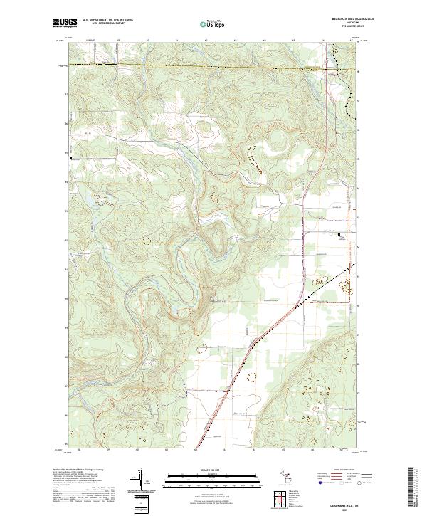
 2023 Elmira2023 Print · USGSOtsego County's high country is captured here during the early twenty-first century, centered on the settlement of Elmira. Genealogists and local historians can locate several burial grounds including Saint Thomas Cem and Hayes Township Cem among the region's many glacial lakes.
 - 2023 Map of Boyne Falls, 2023 Print
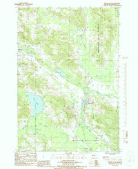
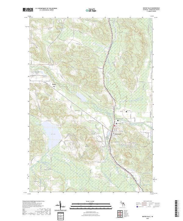 2023 Boyne Falls2023 Print · USGSBoyne Falls and the rising slopes of Boyne Mountain are captured here in the early twenty-first century as the region’s recreation and rail history continue to shape the land. Genealogists and researchers can trace local heritage at Boyne Valley Cem and follow the path of the Pennsylvania RR through the river valley.
End of results
Showing maps 1-12 of 12
Top cities near Boyne Valley Township
- Petoskey historical maps
- Gaylord historical maps
- Boyne City historical maps
- East Jordan historical maps
- Elmira historical maps
- Chestonia historical maps
See more
Top neighborhoods of Boyne Valley Township
Frequently asked questions
- What are the different types of historical maps available for Boyne Valley Township?
- What is the oldest map of Boyne Valley Township?
- Where can I purchase historical maps of Boyne Valley Township for my home or office?
- Where can I download high-res historical maps of Boyne Valley Township?
- Are there historical topographic maps available for Boyne Valley Township?
- Is there historical aerial imagery available for Boyne Valley Township?
- Where are historical maps of Boyne Valley Township sourced from?