2020s Maps of Peaine Township, Michigan
Explore 5 historic maps of Peaine Township from the 2020s. These maps offer a rare glimpse into what life looked like during the 2020s — showing old roads, neighborhoods, homes, and landmarks that have changed or disappeared over time.
Whether you're researching your family's past, planning a metal detecting trip, or studying how Peaine Township's landscape evolved across the 2020s, these high-resolution maps are a powerful tool for exploring the history of this region.
- Focus on a specific era: All maps on this page are from the 2020s, giving you a focused view of this time period.
- See what’s changed: Compare century-old streets, trails, and buildings to today's modern landscape using overlays and satellite layers.
- Research with precision: Use these maps for genealogy, historical research, land use analysis, or educational projects.
- View, download, or print: Maps are fully viewable online in high resolution, and can be downloaded or printed for your own records.
Start exploring Peaine Township's history through authentic maps from the 2020s. This is your window into the past.
Peaine Township, MI maps
(5)- 2023 Map of Beaver Island North, 2023 Print
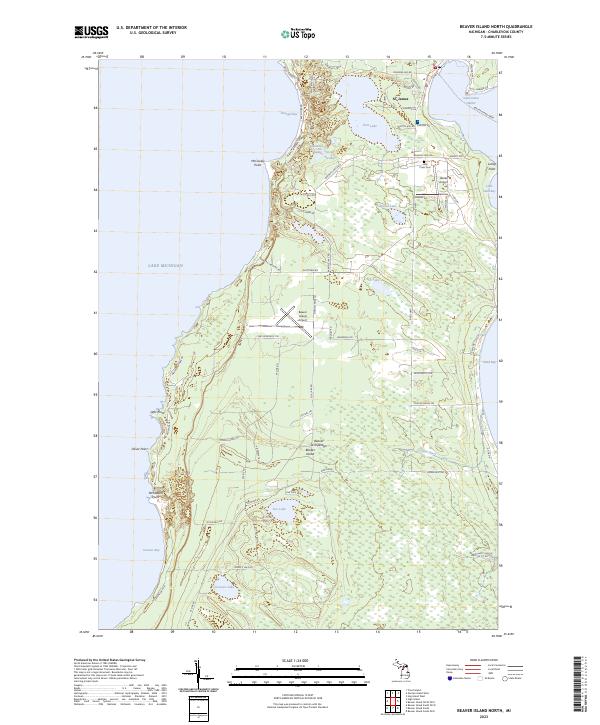 2023 Beaver Island North2023 Print · USGSNorthern Lake Michigan's isolated island community comes into focus in this detailed modern survey of the Beaver Archipelago. Researchers can trace family-named roads and sites from St. James to the Holy Cross Cem and the Beaver Island Ferry terminal.
 - 2023 Map of Beaver Island South, 2023 Print
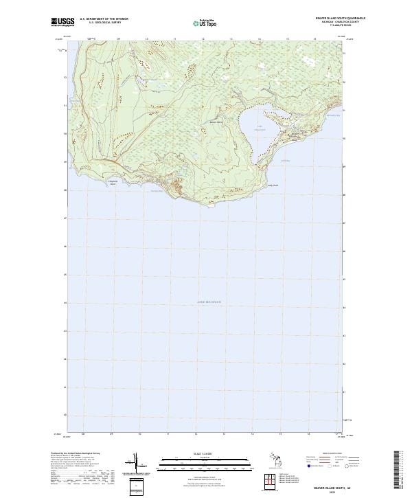 2023 Beaver Island South2023 Print · USGSBeaver Island's southern reaches are shown in detail as they appeared in 2023, featuring a complex network of coastal bays and interior wetlands. Researchers can trace historical island travel via Betsy Smith Trl or locate landmarks like Lake Geneserath and Iron Ore Bay.
 - 2023 Map of Beaver Island North OE E, 2023 Print
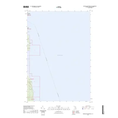 2023 Beaver Island North OE E2023 Print · USGSThe northeastern coast of Beaver Island comes alive in this contemporary survey of the Charlevoix County archipelago. Trace the maritime lifeline of the Beaver Island Ferry and locate coastal landmarks from St. James to the shores of Sand Bay.
 - 2023 Map of Beaver Island South OE E, 2023 Print
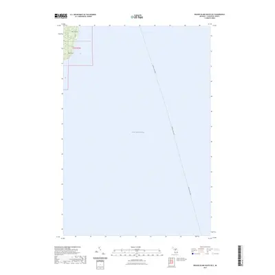 2023 Beaver Island South OE E2023 Print · USGSCharlevoix County’s coastal island reaches and the open waters of the lake are shown here in the early twenty-first century. Maritime researchers can trace the path of the Beaver Island Ferry as it approaches land at Martin Point and Kilty Point.
 - 2023 Map of Beaver Island South OE W, 2023 Print
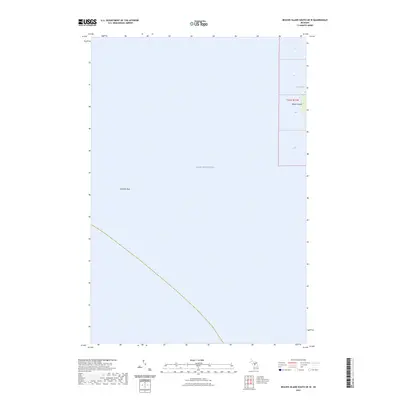 2023 Beaver Island South OE W2023 Print · USGSBeaver Island's western shoreline and the surrounding waters of Lake Michigan are detailed in this 2023 survey. Nautical researchers and genealogists can trace the coastal boundary of French Bay or locate the underwater landmark of Richards Reef.
End of results
Showing maps 1-5 of 5
Top cities near Peaine Township
Top neighborhoods of Peaine Township
Frequently asked questions
- What are the different types of historical maps available for Peaine Township?
- What is the oldest map of Peaine Township?
- Where can I purchase historical maps of Peaine Township for my home or office?
- Where can I download high-res historical maps of Peaine Township?
- Are there historical topographic maps available for Peaine Township?
- Is there historical aerial imagery available for Peaine Township?
- Where are historical maps of Peaine Township sourced from?