Old Maps of Peaine Township, Michigan for Hiking & Exploration
Hike through history with 31 historic maps of Peaine Township. Explore old trails, ghost towns, and forgotten backroads — perfect for outdoor adventurers and local explorers.
- Rediscover forgotten places: Map out old mining camps, roads, and footpaths that no longer exist on modern maps.
- Layer with modern tools: Combine with LiDAR or satellite views to plan hikes through historical terrain.
- Made for exploration: Popular among hikers, overlanders, and local history lovers.
Use these maps to find adventure and explore the hidden past of Peaine Township.
Peaine Township, MI maps
(31)- 1955 Map of Cheboygan, 1964 Print
 1955 Cheboygan1964 Print · USGSNorthern Michigan in the mid-fifties is a landscape of dense timber and deep water, showing the region just as the road network began to modernize. Trace family roots in lakeside towns like St Ignace and Petoskey, or follow the historic tracks of the Pennsylvania RR and New York Central RR.5 unique versions available
 - 1956 Map of Beaver Island, 1959 Print
 1956 Beaver Island1959 Print · USGSBeaver Island and High Island appear here in the mid-1950s, showing the isolated fishing and timber communities of Lake Michigan. Genealogists can trace the rural landscape of St James and locate the Holy Cross Ch and Roseville Sch (Abandoned).2 unique versions available
 - 1958 Map of Cheboygan
 1958 Cheboygan1958 Print · USGSThe tip of Michigan's Lower Peninsula and the surrounding Great Lakes islands are shown here in the late fifties, during the peak of the rail-and-ferry era. Trace the paths of the Pennsylvania RR and explore lakeside settlements like St James, Petoskey, and Indian River.2 unique versions available
 - 1984 Map of Beaver Island, 1985 Print
 1984 Beaver Island1985 Print · USGSBeaver Island and the surrounding archipelago are shown in the mid-eighties before modern developments changed these remote coastal landscapes. Researchers can trace the layout of island settlements like St James or mainland hamlets such as Good Hart and Middle Village.2 unique versions available
 - 1986 Map of Beaver Island North
 1986 Beaver Island North1986 Print · USGSNorthern Beaver Island in the mid-1980s shows a landscape defined by maritime heritage and the dense woods of the Mackinaw State Forest. Local historians can trace the development of St James and Bonner Landing or locate landmarks like the Lighthouse and Weike Airport.
 - 1986 Map of Beaver Island South
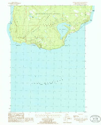 1986 Beaver Island South1986 Print · USGSThe southern reaches of Beaver Island are captured here in the mid-1980s, detailing a remote landscape of state forests and Great Lakes shoreline. Researchers can trace the trails around Lake Geneserath or locate coastal features like Iron Ore Bay and French Bay.
 - 2011 Map of Beaver Island North OE E, 2011 Print
 2011 Beaver Island North OE E2011 Print · USGSThe eastern coast of Beaver Island is captured here in the early twenty-first century, showcasing the island's relationship with Lake Michigan. Researchers can trace the winding path of E Side Dr past coastal landmarks like Martins Bluff and Sucker Point.
 - 2011 Map of Beaver Island South, 2011 Print
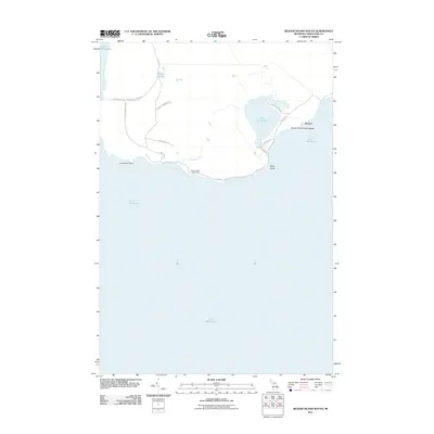 2011 Beaver Island South2011 Print · USGSThe southern tip of Beaver Island in the early twenty-first century reveals a landscape of isolated shoreline and quiet inland marshes. Researchers can trace the coastal access to Iron Ore Bay, locate the Beaver Island Lighthouse, and find the small settlement of Nomad near Lake Geneserath.
 - 2011 Map of Beaver Island North, 2011 Print
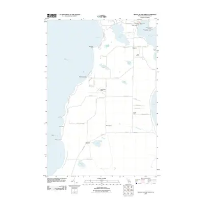 2011 Beaver Island North2011 Print · USGSBeaver Island's northern shore and the settlement of Saint James are captured here in the early twenty-first century. Researchers can trace local landmarks like Holy Cross Cemetery, Roseville School, and the Beaver Island Lookout Tower.
 - 2011 Map of Beaver Island South OE E, 2011 Print
 2011 Beaver Island South OE E2011 Print · USGSThe eastern coast of Beaver Island is captured in this survey, showcasing its isolated shoreline as it existed in 2011. Trace the island's unique coastal geography along McCauley Bay and the natural landmarks of Martin Point and Kilty Point.
 - 2011 Map of Beaver Island South OE W, 2011 Print
 2011 Beaver Island South OE W2011 Print · USGSBeaver Island’s western coastline and the surrounding waters of Lake Michigan are documented in this 2011 survey. Marine researchers and local historians can locate the shoreline of Beaver Island and the offshore hazard of Richards Reef in the open lake.
 - 2014 Map of Beaver Island South OE W, 2014 Print
 2014 Beaver Island South OE W2014 Print · USGSLake Michigan's northern waters are captured here in the mid-2010s, marking the aquatic boundary between Charlevoix and Leelanau counties. Maritime researchers and island historians can locate Richards Reef and the shoreline of Beaver Island at French Bay.
 - 2014 Map of Beaver Island North OE E, 2014 Print
 2014 Beaver Island North OE E2014 Print · USGSThe eastern coast of Michigan's largest island is captured here in the early twenty-first century, showing the remote shoreline and forest trails. Genealogists and hikers can trace local landmarks like Martins Bluff, Johnny Martins Trl, and Point La Par.
 - 2014 Map of Beaver Island North, 2014 Print
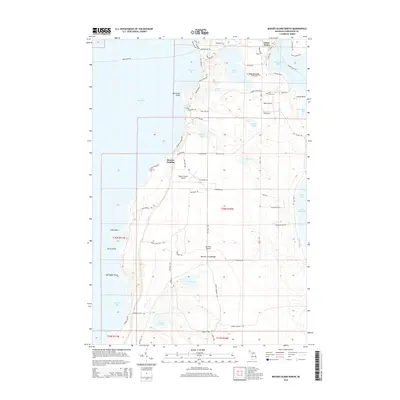 2014 Beaver Island North2014 Print · USGSBeaver Island remains a vital Great Lakes community in the early twenty-first century, centered on the harbor at Saint James. Genealogists and historians can trace local landmarks like Holy Cross Ch, Holy Cross Cem, and the island's dual airfields.
 - 2014 Map of Beaver Island South OE E, 2014 Print
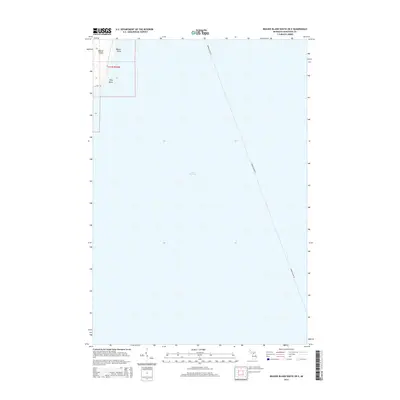 2014 Beaver Island South OE E2014 Print · USGSBeaver Island and the open waters of northern Lake Michigan are captured here in the early twenty-first century. Researchers can trace the maritime route of the Beaver Island Fry and locate family-named coastal features like Martin Point and Kilty Point.
 - 2014 Map of Beaver Island South, 2014 Print
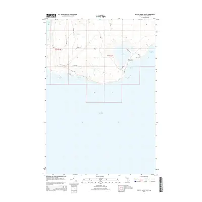 2014 Beaver Island South2014 Print · USGSThe southern tip of Beaver Island in the early 2010s reveals a quiet landscape of bays and inland marshes. Researchers can trace local names like Nomad and Lake Geneserath or explore the rugged trails of French Bay Trl and Betsy Smith Trl.
 - 2017 Map of Beaver Island South OE E, 2017 Print
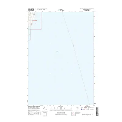 2017 Beaver Island South OE E2017 Print · USGSBeaver Island’s eastern shoreline and the surrounding waters of Lake Michigan are captured here in the late twenty-tens. Maritime researchers and locals can trace the Beaver Island Ferry route and shoreline landmarks like Martin Point and Kilty Point.
 - 2017 Map of Beaver Island North OE E, 2017 Print
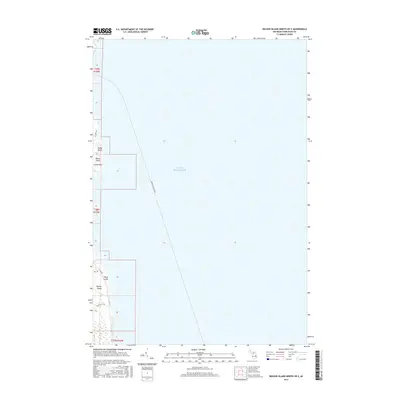 2017 Beaver Island North OE E2017 Print · USGSThe eastern coast of Beaver Island and its vital maritime connection to the mainland are documented here in the late 2010s. Researchers can trace the Beaver Island Ferry route and locate coastal landmarks like Sandy Point and Point La Par.
 - 2017 Map of Beaver Island South OE W, 2017 Print
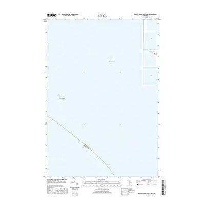 2017 Beaver Island South OE W2017 Print · USGSLake Michigan and the western edge of Beaver Island are the focus of this maritime-centered survey from the late 2010s. Researchers can trace the submerged topography of Richards Reef and the administrative boundary between Charlevoix and Leelanau counties.
 - 2017 Map of Beaver Island North, 2017 Print
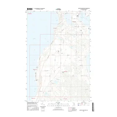 2017 Beaver Island North2017 Print · USGSBeaver Island's northern shores and the harbor town of Saint James are depicted here in the late twenty-tens. Researchers can trace the island's connectivity through Welke Airport, the Holy Cross Cem, and names like McCauley Point.
 - 2017 Map of Beaver Island South, 2017 Print
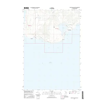 2017 Beaver Island South2017 Print · USGSThe southern end of Beaver Island is documented here in the late twenty-teens, showing the intersection of coastal wilderness and local access roads. Map enthusiasts can trace routes like W Side Rd to landmarks such as Lake Geneserath and the Beaver Island Public Beach.
 - 2019 Map of Beaver Island South, 2019 Print
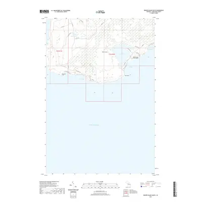 2019 Beaver Island South2019 Print · USGSThe southern reaches of Michigan's largest island are captured here in the late 2010s, showing a shoreline of bays and points. Trace the coastal paths around Lake Geneserath or follow local trails like the Betsy Smith Trl to Iron Ore Bay.
 - 2019 Map of Beaver Island South OE W, 2019 Print
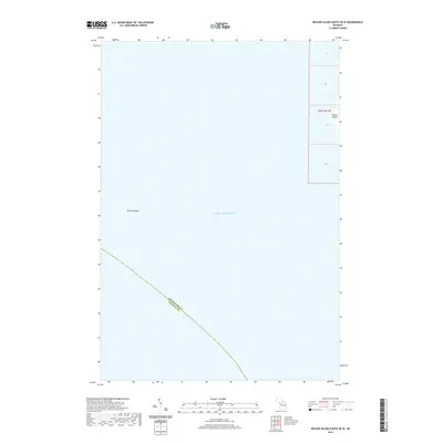 2019 Beaver Island South OE W2019 Print · USGSLake Michigan's northern waters are captured here in the late twenty-teens, showing the submerged geography west of the archipelago. Maritme historians can locate Richards Reef and the western coastline of Beaver Island along the Charlevoix County line.
 - 2019 Map of Beaver Island North, 2019 Print
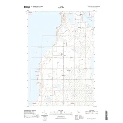 2019 Beaver Island North2019 Print · USGSBeaver Island's northern reaches and the settlement of St James are captured here in the late 2010s. Researchers can trace local landmarks like Holy Cross Cem, the shoreline at Donegal Bay, and the interior waters of Font Lake.
 - 2019 Map of Beaver Island South OE E, 2019 Print
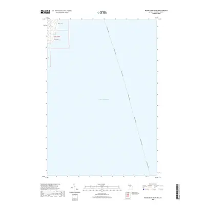 2019 Beaver Island South OE E2019 Print · USGSBeaver Island's eastern shore and the deep waters of northern Lake Michigan are captured here in the late 2010s. Trace the vital maritime connection of the BEAVER ISLAND FERRY or locate coastal landmarks like Martin Point, Kilty Point, and E Side Dr.
Showing maps 1-25 of 31
Top cities near Peaine Township
Top neighborhoods of Peaine Township
Frequently asked questions
- What are the different types of historical maps available for Peaine Township?
- What is the oldest map of Peaine Township?
- Where can I purchase historical maps of Peaine Township for my home or office?
- Where can I download high-res historical maps of Peaine Township?
- Are there historical topographic maps available for Peaine Township?
- Is there historical aerial imagery available for Peaine Township?
- Where are historical maps of Peaine Township sourced from?