2020s Maps of Saint James Township, Michigan
Explore 8 historic maps of Saint James Township from the 2020s. These maps offer a rare glimpse into what life looked like during the 2020s — showing old roads, neighborhoods, homes, and landmarks that have changed or disappeared over time.
Whether you're researching your family's past, planning a metal detecting trip, or studying how Saint James Township's landscape evolved across the 2020s, these high-resolution maps are a powerful tool for exploring the history of this region.
- Focus on a specific era: All maps on this page are from the 2020s, giving you a focused view of this time period.
- See what’s changed: Compare century-old streets, trails, and buildings to today's modern landscape using overlays and satellite layers.
- Research with precision: Use these maps for genealogy, historical research, land use analysis, or educational projects.
- View, download, or print: Maps are fully viewable online in high resolution, and can be downloaded or printed for your own records.
Start exploring Saint James Township's history through authentic maps from the 2020s. This is your window into the past.
Saint James Township, MI maps
(8)- 2023 Map of High Island, 2023 Print
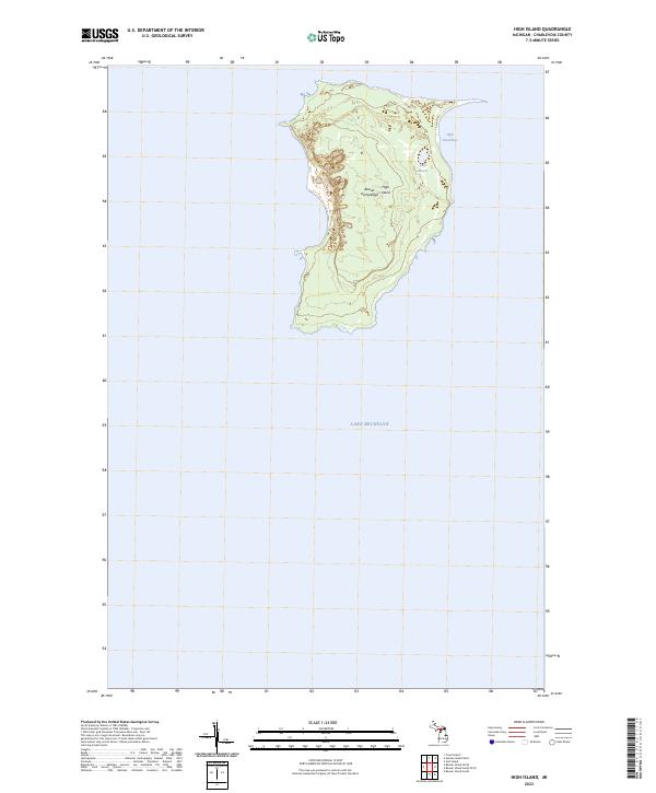 2023 High Island2023 Print · USGSThe remote landscape of the Beaver Archipelago is captured in the early twenty-first century, centered on the topography of High Island. Researchers can trace the interior shoreline of Lake Maria and the sheltered waters of High Island Bay.
 - 2023 Map of Beaver Island North, 2023 Print
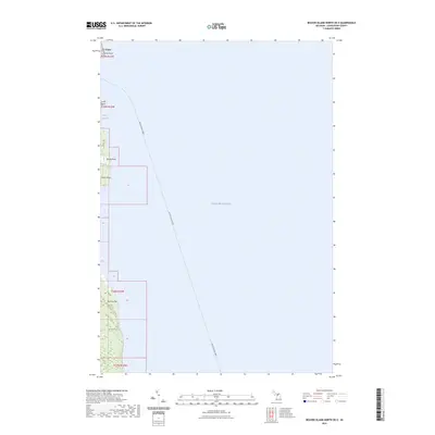
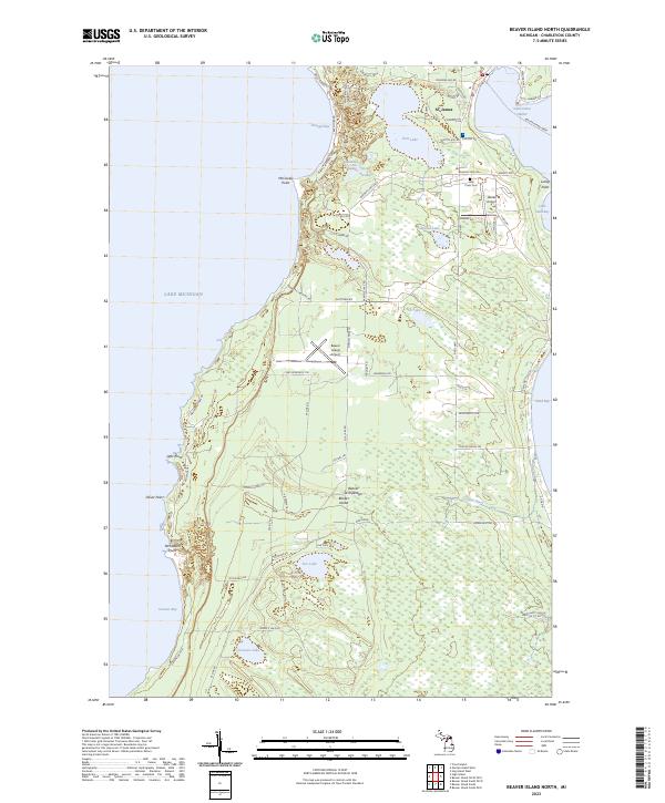 2023 Beaver Island North2023 Print · USGSNorthern Lake Michigan's isolated island community comes into focus in this detailed modern survey of the Beaver Archipelago. Researchers can trace family-named roads and sites from St. James to the Holy Cross Cem and the Beaver Island Ferry terminal.
 - 2023 Map of Hog Island West, 2023 Print
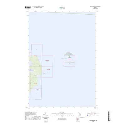
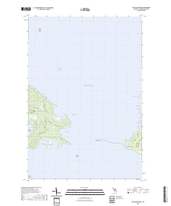 2023 Hog Island West2023 Print · USGSThe Beaver Island archipelago in the early 2020s is revealed through its intricate shorelines and remote islands. Researchers can trace the protected waters of Larsen Harbor and Sturgeon Bay, or locate landmarks like Garden Island and Pismire Island.
 - 2023 Map of Gull Island, 2023 Print
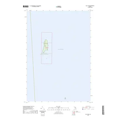 2023 Gull Island2023 Print · USGSGull Island is shown as a preserved sanctuary in the northern waters of the Beaver Archipelago during this 2023 survey. Researchers can trace the boundaries of the Michigan Islands National Wildlife Refuge and the underwater reach of Gull Island Reef.
 - 2023 Map of Beaver Island North OE E, 2023 Print
 2023 Beaver Island North OE E2023 Print · USGSThe northeastern coast of Beaver Island comes alive in this contemporary survey of the Charlevoix County archipelago. Trace the maritime lifeline of the Beaver Island Ferry and locate coastal landmarks from St. James to the shores of Sand Bay.
 - 2023 Map of Hog Island East, 2023 Print
 2023 Hog Island East2023 Print · USGSThe Beaver Archipelago is documented here in the modern era, showing the protected habitats of the northern Lake Michigan waters. Researchers can trace the boundaries of the Michigan Islands Wilderness and locate landforms like Hog Island and Grays Reef.
 - 2023 Map of Trout Island, 2023 Print
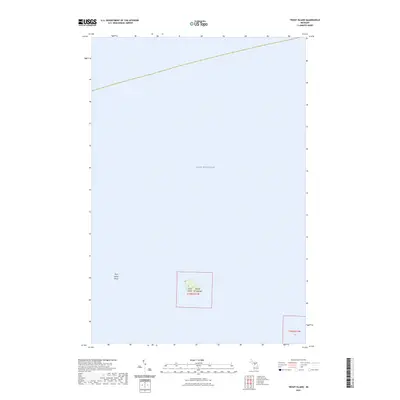 2023 Trout Island2023 Print · USGSLake Michigan's remote waters surround the Beaver Archipelago in this modern survey of the state's northern island chains. Researchers can chart the specific terrain of Trout Island and the expansive Trout Island Shoal within the Lake Michigan basin.
 - 2023 Map of Garden Island West, 2023 Print
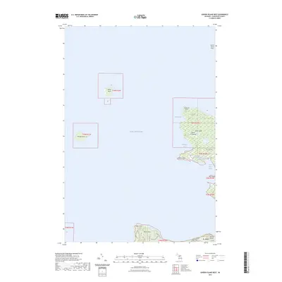 2023 Garden Island West2023 Print · USGSThe northern reaches of the Beaver Archipelago are captured in this modern survey, highlighting the unique island geography of Lake Michigan. Genealogists and local historians can trace the settlement of St. James and locate the Indian Cem and Saint James Township Cem.
End of results
Showing maps 1-8 of 8
Top cities near Saint James Township
Top neighborhoods of Saint James Township
Frequently asked questions
- What are the different types of historical maps available for Saint James Township?
- What is the oldest map of Saint James Township?
- Where can I purchase historical maps of Saint James Township for my home or office?
- Where can I download high-res historical maps of Saint James Township?
- Are there historical topographic maps available for Saint James Township?
- Is there historical aerial imagery available for Saint James Township?
- Where are historical maps of Saint James Township sourced from?