Old Maps of Saint James Township, Michigan for Metal Detecting
Plan your next treasure hunt with 52 historic maps of Saint James Township. Find old homesites, ghost towns, trails, and gathering spots that may be lost to time — perfect for identifying promising metal detecting locations.
- Locate forgotten sites: Uncover places like long-lost settlements, abandoned rail lines, or gathering spots.
- Plan better hunts: Use map overlays combined with LiDAR or satellite views to narrow in on historically rich areas.
- Made for detectorists: Thousands of hobbyists use these maps to discover relics, coins, and hidden history.
Use these historic maps to boost your research and find new opportunities beneath the surface of Saint James Township.
Saint James Township, MI maps
(52)- 1955 Map of Hog Island, 1958 Print
 1955 Hog Island1958 Print · USGSThe Beaver Island archipelago in the mid-1950s reveals a wilderness of state forests and hazardous reefs. Maritime researchers can trace the shorelines of Hog Island and Garden Island or locate remote outcrops like Hat Island and Shoe Island.2 unique versions available
 - 1955 Map of Gull Island, 1959 Print
 1955 Gull Island1959 Print · USGSGull Island and its surrounding waters are captured in detail during the mid-1950s. Maritime researchers can trace underwater topography and navigational aids such as the Light and the dangerous shoals of Gull Island Reef and Boulder Reef.2 unique versions available
 - 1955 Map of Cheboygan, 1964 Print
 1955 Cheboygan1964 Print · USGSNorthern Michigan in the mid-fifties is a landscape of dense timber and deep water, showing the region just as the road network began to modernize. Trace family roots in lakeside towns like St Ignace and Petoskey, or follow the historic tracks of the Pennsylvania RR and New York Central RR.5 unique versions available
 - 1956 Map of Beaver Island, 1959 Print
 1956 Beaver Island1959 Print · USGSBeaver Island and High Island appear here in the mid-1950s, showing the isolated fishing and timber communities of Lake Michigan. Genealogists can trace the rural landscape of St James and locate the Holy Cross Ch and Roseville Sch (Abandoned).2 unique versions available
 - 1958 Map of Cheboygan
 1958 Cheboygan1958 Print · USGSThe tip of Michigan's Lower Peninsula and the surrounding Great Lakes islands are shown here in the late fifties, during the peak of the rail-and-ferry era. Trace the paths of the Pennsylvania RR and explore lakeside settlements like St James, Petoskey, and Indian River.2 unique versions available
 - 1980 Map of Garden Island West, 1981 Print
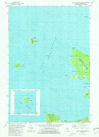 1980 Garden Island West1981 Print · USGSGarden Island and the northern reaches of Beaver Island are captured in the early 1980s, documenting a remote archipelago before modern development. Researchers can find old island settlements like Garden and Graves, or locate heritage sites such as Indian Cem and the Abandoned Lighthouse on Squaw Island.
 - 1984 Map of Beaver Island, 1985 Print
 1984 Beaver Island1985 Print · USGSBeaver Island and the surrounding archipelago are shown in the mid-eighties before modern developments changed these remote coastal landscapes. Researchers can trace the layout of island settlements like St James or mainland hamlets such as Good Hart and Middle Village.2 unique versions available
 - 1986 Map of High Island
 1986 High Island1986 Print · USGSHigh Island sits in northern Lake Michigan during the mid-1980s, primarily managed as a wilderness forest. Researchers can trace the shoreline of High Island Bay, the secluded Lake Maria, and the boundaries of the Mackinaw State Forest.
 - 1986 Map of Gull Island
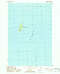 1986 Gull Island1986 Print · USGSGull Island and its surrounding reef system are charted here during the mid-1980s as part of a remote island chain. Researchers can trace the navigation points and wildlife boundaries of the Michigan Islands National Wildlife Refuge and the Light at the island's north end.
 - 1986 Map of Beaver Island North
 1986 Beaver Island North1986 Print · USGSNorthern Beaver Island in the mid-1980s shows a landscape defined by maritime heritage and the dense woods of the Mackinaw State Forest. Local historians can trace the development of St James and Bonner Landing or locate landmarks like the Lighthouse and Weike Airport.
 - 1986 Map of Hog Island West
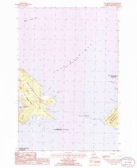 1986 Hog Island West1986 Print · USGSNorthern Lake Michigan's remote island chains are documented here in the mid-eighties, showing the preserved landscapes of St James Twp. Maritime researchers can trace the shorelines of Garden Island and Hog Island and find protected points like Sturgeon Bay.
 - 1986 Map of Hog Island East
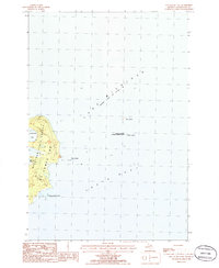 1986 Hog Island East1986 Print · USGSThe eastern shores of Hog Island and its surrounding archipelagos are captured here in the mid-eighties. Researchers can trace the boundaries of the Michigan Islands National Wildlife Refuge and locate remote features like Hat Island and Grays Reef.
 - 2011 Map of Beaver Island North OE E, 2011 Print
 2011 Beaver Island North OE E2011 Print · USGSThe eastern coast of Beaver Island is captured here in the early twenty-first century, showcasing the island's relationship with Lake Michigan. Researchers can trace the winding path of E Side Dr past coastal landmarks like Martins Bluff and Sucker Point.
 - 2011 Map of Hog Island West, 2011 Print
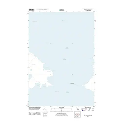 2011 Hog Island West2011 Print · USGSThe northern Lake Michigan archipelago is captured here in the early twenty-first century, showcasing the remote shorelines of Charlevoix County. Researchers can trace the maritime geography of Garden Island and its many coves, including Larsen Harbor and Monatou Bay.
 - 2011 Map of Gull Island, 2011 Print
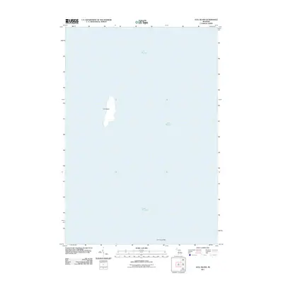 2011 Gull Island2011 Print · USGSGull Island and its surrounding waters are documented in the early twenty-first century as part of the northern Great Lakes archipelago. Researchers can study the precise shoreline of Gull Island and the location of the treacherous Gull Island Reef in the middle of Lake Michigan.
 - 2011 Map of Hog Island East, 2011 Print
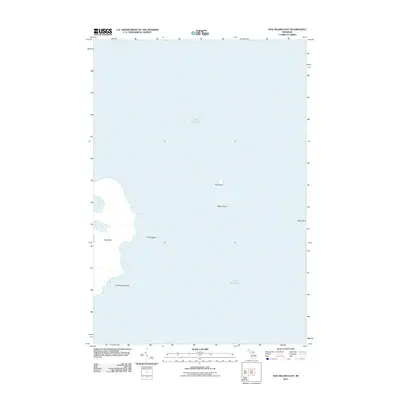 2011 Hog Island East2011 Print · USGSThe isolated Beaver Island archipelago in Lake Michigan is shown here in the early twenty-first century. Maritime researchers and historians can trace the exact coastlines of Hog Island and locate nearby features like Grays Reef and Hat Island.
 - 2011 Map of Beaver Island North, 2011 Print
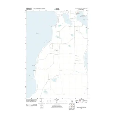 2011 Beaver Island North2011 Print · USGSBeaver Island's northern shore and the settlement of Saint James are captured here in the early twenty-first century. Researchers can trace local landmarks like Holy Cross Cemetery, Roseville School, and the Beaver Island Lookout Tower.
 - 2011 Map of High Island, 2011 Print
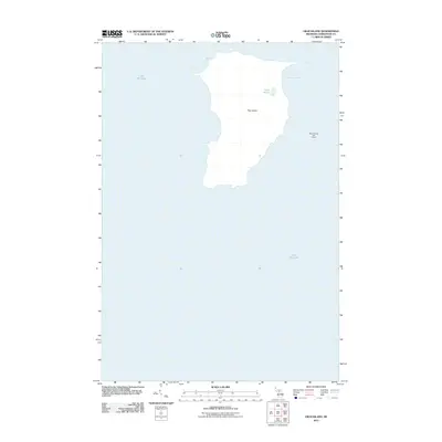 2011 High Island2011 Print · USGSHigh Island and its surrounding waters are captured in this early 21st-century survey of the Beaver Island chain. Researchers can locate the inland Lake Maria, trace the contours of High Island Bay, and see the extent of the Beaver Island Golf Course to the east.
 - 2011 Map of Garden Island West, 2011 Print
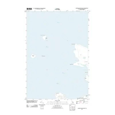 2011 Garden Island West2011 Print · USGSThe northern Beaver Island archipelago in the early twenty-first century remains a maritime landscape defined by its isolated lighthouses and historic coastal sites. You can trace island life and lineage through the Squaw Island Lighthouse, the Indian Cemetery, and the Saint James Post Office.
 - 2011 Map of Trout Island, 2011 Print
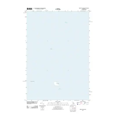 2011 Trout Island2011 Print · USGSThe waters of Lake Michigan surround this isolated island in the Beaver archipelago during the early twenty-first century. Maritime researchers and local historians can trace the precise shoreline of Trout Island and the neighboring Trout Island Shoal.
 - 2014 Map of Gull Island, 2014 Print
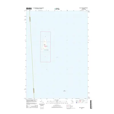 2014 Gull Island2014 Print · USGSIsolated in the northern reaches of Lake Michigan in the early twenty-first century, this chart details a remote part of the Beaver Archipelago. Researchers can study the landforms of Gull Island and identify maritime hazards like the Gull Island Reef.
 - 2014 Map of Hog Island East, 2014 Print
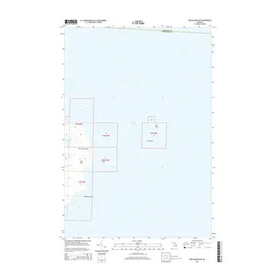 2014 Hog Island East2014 Print · USGSThe Beaver Archipelago's northern reaches are detailed in this 2014 survey of the islands in Lake Michigan. Researchers can trace the coastal contours and remote geography of Hog Island, Timmons Island, and the distinctive Shoe Island.
 - 2014 Map of Trout Island, 2014 Print
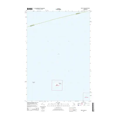 2014 Trout Island2014 Print · USGSCharlevoix County’s northern maritime reaches are documented here in the early twenty-first century, focusing on the isolated Beaver Archipelago. Researchers can study the shoreline of Trout Island and the positioning of Trout Island Shoal in the surrounding waters.
 - 2014 Map of Garden Island West, 2014 Print
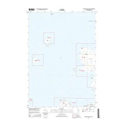 2014 Garden Island West2014 Print · USGSThe remote islands of northern Lake Michigan are documented here in the early twenty-first century. Researchers can trace the roads and landmarks of Saint James or locate family sites at the Saint James Township Cem on Beaver Island.
 - 2014 Map of Beaver Island North OE E, 2014 Print
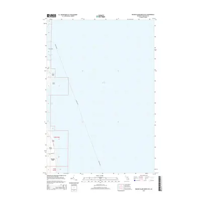 2014 Beaver Island North OE E2014 Print · USGSThe eastern coast of Michigan's largest island is captured here in the early twenty-first century, showing the remote shoreline and forest trails. Genealogists and hikers can trace local landmarks like Martins Bluff, Johnny Martins Trl, and Point La Par.
Showing maps 1-25 of 52
Top cities near Saint James Township
Top neighborhoods of Saint James Township
Frequently asked questions
- What are the different types of historical maps available for Saint James Township?
- What is the oldest map of Saint James Township?
- Where can I purchase historical maps of Saint James Township for my home or office?
- Where can I download high-res historical maps of Saint James Township?
- Are there historical topographic maps available for Saint James Township?
- Is there historical aerial imagery available for Saint James Township?
- Where are historical maps of Saint James Township sourced from?