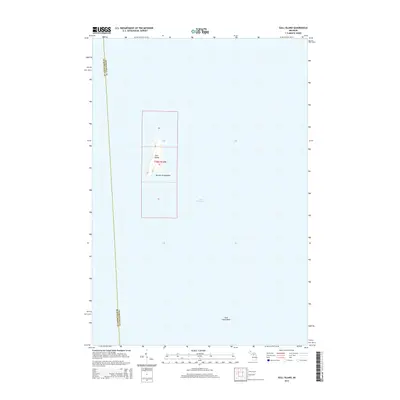
2014 Map of Gull Island
USGS Topo · Published 2014About this map
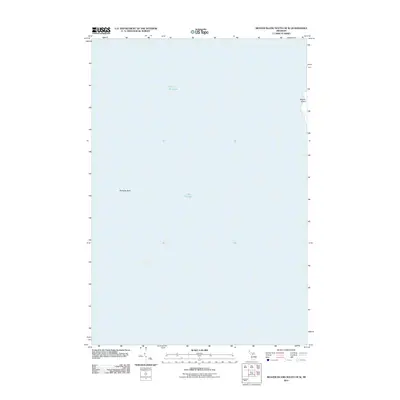
Gull Island, part of the remote Beaver Archipelago, is the primary focus of this maritime survey in Lake Michigan. Located within the boundaries of Charlevoix County near the border of Schoolcraft County, the island is represented as a solitary landform surrounded by vast open water and submerged hazards. A notable navigation point is the Gull Island Reef to the southeast, illustrating the underwater topography critical for vessels navigating these northern waters. The map provides precise Public Land Survey System data, showing sections like 06, 18, and the specifically labeled Township 38 North, Range 12 West, Section 07 which encompasses the island itself. This representation documents the island’s profile and its relationship to the surrounding reef and county lines as they were defined in 2014.
Find a feature on this map
8 named features on this map. Tap any name to fly to it.
Don’t see what you’re looking for? This feature index may not catch every label — zoom into the map to look around manually.
Map Details
Editions of this 2014 Gull Island Map
This is the sole edition of this map. No revisions or reprints were ever made.
Other maps of this area

1955 · Gull Island
USGS Topo · 1:62,500

1955 · Cheboygan
USGS Topo · 1:250,000

1956 · Beaver Island
USGS Topo · 1:62,500

1958 · Cheboygan
USGS Topo · 1:250,000

1984 · Beaver Island
USGS Topo · 1:100,000

1986 · High Island
USGS Topo · 1:24,000
1986 · Gull Island
USGS Topo · 1:24,000
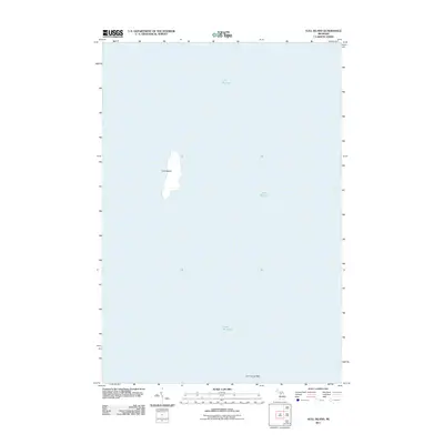
2011 · Gull Island
USGS Topo · 1:24,000
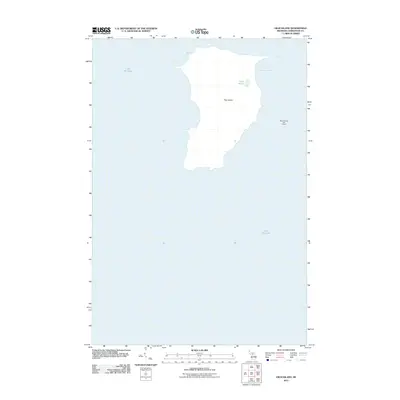
2011 · High Island
USGS Topo · 1:24,000
2011 · Beaver Island South OE W
USGS Topo · 1:24,000