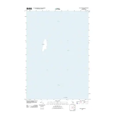
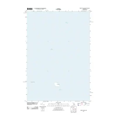
2011 Map of Gull Island
USGS Topo · Published 2011About this map
Gull Island stands alone in the waters of Lake Michigan in this 2011 survey, representing a solitary landmark in the northern reaches of the Great Lakes. The map illustrates the island's isolated landform and its relationship to the nearby underwater hazard known as Gull Island Reef. This survey focuses on the physical geography of the island and its immediate maritime context, providing a clear record of the shoreline and elevation before the natural shifts of the 21st century. The topographic detail offers a specific look at the island's shape and the surrounding bathymetry, which is vital for understanding the navigational history and ecological character of this remote part of Michigan's archipelago.
Find a feature on this map
3 named features on this map. Tap any name to fly to it.
Don’t see what you’re looking for? This feature index may not catch every label — zoom into the map to look around manually.
Map Details
Editions of this 2011 Gull Island Map
This is the sole edition of this map. No revisions or reprints were ever made.
Other maps of this area

1955 · Gull Island
USGS Topo · 1:62,500

1955 · Cheboygan
USGS Topo · 1:250,000

1956 · Beaver Island
USGS Topo · 1:62,500

1958 · Cheboygan
USGS Topo · 1:250,000

1984 · Beaver Island
USGS Topo · 1:100,000

1986 · High Island
USGS Topo · 1:24,000
1986 · Gull Island
USGS Topo · 1:24,000
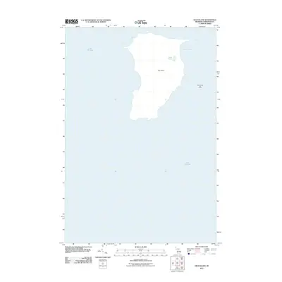
2011 · High Island
USGS Topo · 1:24,000
2011 · Beaver Island South OE W
USGS Topo · 1:24,000
2011 · Trout Island
USGS Topo · 1:24,000