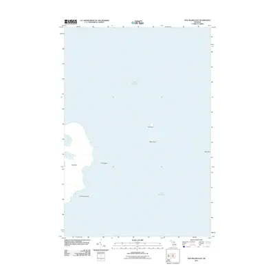
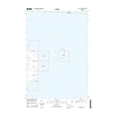
2011 Map of Hog Island East
USGS Topo · Published 2011About this map
Lake Michigan surrounds a cluster of uninhabited landmasses in the Beaver Island archipelago, documented here by the U.S. Geological Survey. The eastern shoreline of Hog Island is the primary terrestrial feature, defined by the sheltered waters of Fisherman Bay and several smaller satellite islands. The presence of Grays Reef to the east indicates the underwater topography and navigational hazards that characterize this part of the lake. Other distinct landforms include the small outcroppings of Hat Island, Shoe Island, Tims Island, and Horseshoe Island. This survey captures the coastline and maritime features of these isolated Michigan islands at a time when they remained primarily natural habitats, undisturbed by significant development or modern infrastructure.
Find a feature on this map
8 named features on this map. Tap any name to fly to it.
Don’t see what you’re looking for? This feature index may not catch every label — zoom into the map to look around manually.
Map Details
Editions of this 2011 Hog Island East Map
This is the sole edition of this map. No revisions or reprints were ever made.
Other maps of this area

1955 · Hog Island
USGS Topo · 1:62,500

1955 · Cheboygan
USGS Topo · 1:250,000

1958 · Cheboygan
USGS Topo · 1:250,000

1958 · Cross Village
USGS Topo · 1:62,500

1984 · Beaver Island
USGS Topo · 1:100,000
1986 · Hog Island West
USGS Topo · 1:24,000
1986 · Hog Island East
USGS Topo · 1:24,000

2011 · Beaver Island North OE E
USGS Topo · 1:24,000
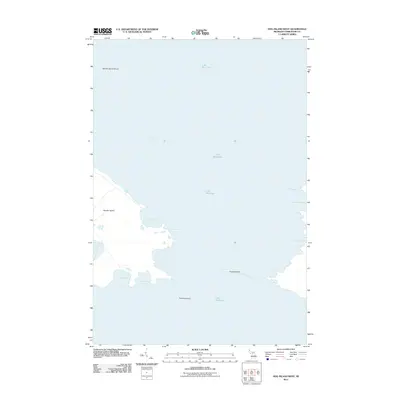
2011 · Hog Island West
USGS Topo · 1:24,000
2014 · Hog Island East
USGS Topo · 1:24,000