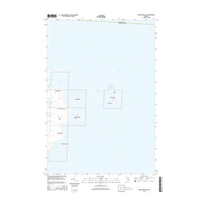
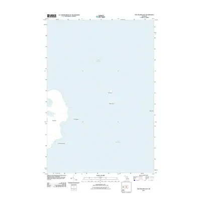
2014 Map of Hog Island East
USGS Topo · Published 2014About this map
The Beaver Archipelago emerges from the waters of northeastern Lake Michigan in this topographical study of northern Charlevoix County. Centered on Hog Island, the map reveals a complex arrangement of smaller landforms and sheltered waters, including the western reaches of Fisherman Bay and the quiet inlet of Baltimore Bay. This 2014 survey captures the maritime landscape as it straddles the boundary between Mackinac and Charlevoix Counties.
Find a feature on this map
14 named features on this map. Tap any name to fly to it.
Don’t see what you’re looking for? This feature index may not catch every label — zoom into the map to look around manually.
Map Details
Editions of this 2014 Hog Island East Map
This is the sole edition of this map. No revisions or reprints were ever made.
Other maps of this area

1955 · Hog Island
USGS Topo · 1:62,500

1955 · Cheboygan
USGS Topo · 1:250,000

1958 · Cheboygan
USGS Topo · 1:250,000

1958 · Cross Village
USGS Topo · 1:62,500

1984 · Beaver Island
USGS Topo · 1:100,000
1986 · Hog Island West
USGS Topo · 1:24,000
1986 · Hog Island East
USGS Topo · 1:24,000

2011 · Beaver Island North OE E
USGS Topo · 1:24,000
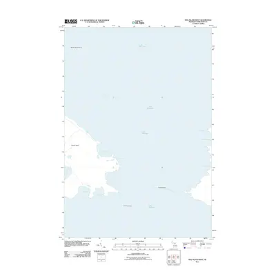
2011 · Hog Island West
USGS Topo · 1:24,000
2011 · Hog Island East
USGS Topo · 1:24,000