Old Maps of Inverness Township, Michigan for Academic Research
Study the evolution of Inverness Township with 29 high-resolution historic maps. Whether you're teaching, researching, or modeling changes in land use, these maps provide essential visual documentation of urban, environmental, and geographic change.
- Analyze long-term change: Track patterns in development, transportation, and natural features.
- Ideal for environmental or urban studies: Support academic projects with primary historical map data.
- Use in the classroom or lab: Educators and researchers rely on these maps to bring historical context to life.
These maps are a powerful tool for teaching, research, and visualizing how Inverness Township has changed over the decades.
Inverness Township, MI maps
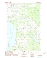
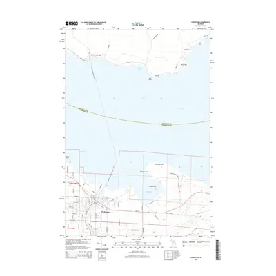
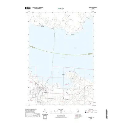
(29)- 1955 Map of Cheboygan, 1964 Print
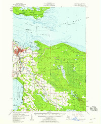
 1955 Cheboygan1964 Print · USGSNorthern Michigan in the mid-fifties is a landscape of dense timber and deep water, showing the region just as the road network began to modernize. Trace family roots in lakeside towns like St Ignace and Petoskey, or follow the historic tracks of the Pennsylvania RR and New York Central RR.5 unique versions available
 - 1957 Map of Cheboygan, 1958 Print
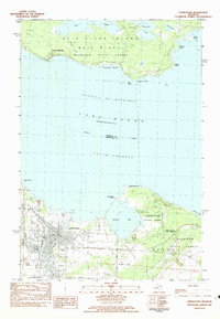
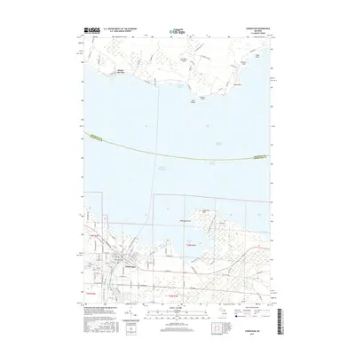
 1957 Cheboygan1958 Print · USGSThe Straits of Mackinac meet the northern Michigan timberlands in the late fifties, showing a landscape defined by Great Lakes shipping and inland rail. Researchers can locate many local landmarks, from Cheboygan harbor to rural sites like School No 2 and Pine Hill Cem.3 unique versions available
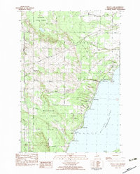
 - 1957 Map of Mullett Lake, 1959 Print
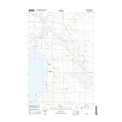
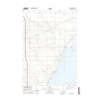
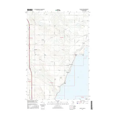
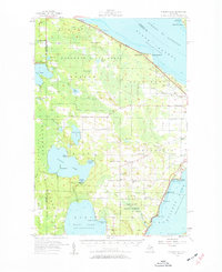 1957 Mullett Lake1959 Print · USGSThe tip of Michigan's Lower Peninsula is defined by its massive inland waters and coastal reaches along the Straits in the late fifties. Genealogists and researchers can locate several rural schools and parish churches like Sacred Heart Ch and Hebron Cem.2 unique versions available
 - 1958 Map of Cheboygan
 1958 Cheboygan1958 Print · USGSThe tip of Michigan's Lower Peninsula and the surrounding Great Lakes islands are shown here in the late fifties, during the peak of the rail-and-ferry era. Trace the paths of the Pennsylvania RR and explore lakeside settlements like St James, Petoskey, and Indian River.2 unique versions available
 - 1982 Map of Cheboygan, 1983 Print
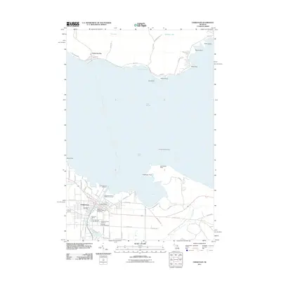
 1982 Cheboygan1983 Print · USGSCheboygan and the southern tip of Bois Blanc Island are captured here in the early 1980s. Researchers can trace the city’s residential grid and maritime infrastructure near Duncan Bay, locating the Pine Hill Cem and the Detroit & Mackinac rail line.
 - 1982 Map of Point Nipigon, 1983 Print
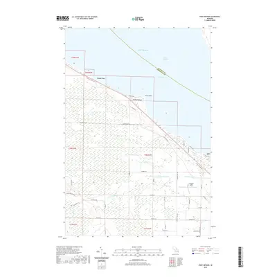
 1982 Point Nipigon1983 Print · USGSCoastal Cheboygan County at the start of the 1980s shows a landscape of dense state forest and lakeside landings. Researchers can trace family names along Hebron Mail Route Road or locate the Fine Hill Cem and Cheboygan City-County Airport.
 - 1982 Map of Aloha, 1983 Print
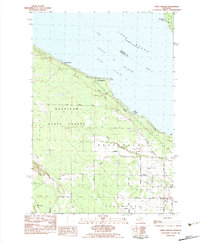
 1982 Aloha1983 Print · USGSCheboygan County’s eastern shorelines and forest lands are captured here in the early eighties. Genealogists and local historians can locate Calvary Cem, the Black River Sch, and the lakeside community of Aloha before modern development.
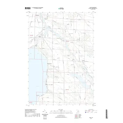
 - 1982 Map of Mullett Lake, 1983 Print
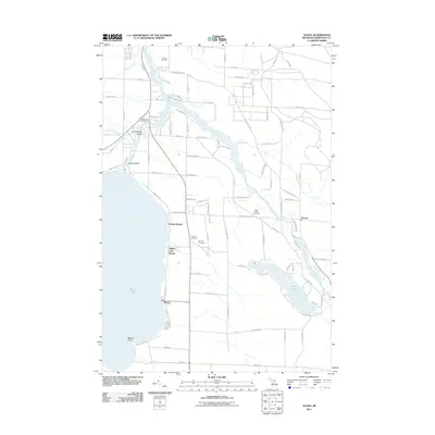
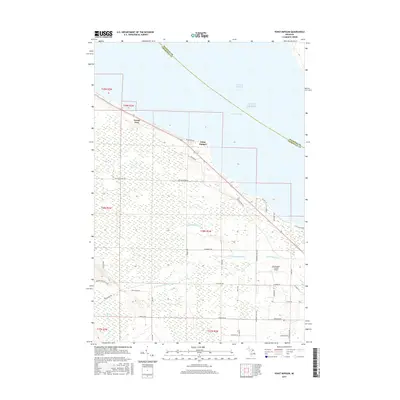
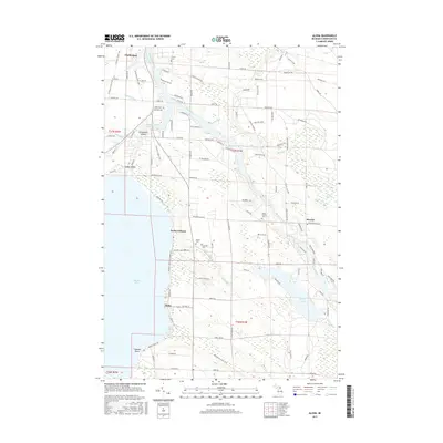
 1982 Mullett Lake1983 Print · USGSCheboygan County’s western lakeside communities and interior timberlands are captured here in the early eighties. Researchers can trace the heritage of Riggsville through its namesake Riggsville Cem or locate the lakeside Country Club and Inverness Sch.
 - 1984 Map of Cheboygan, 1985 Print
 1984 Cheboygan1985 Print · USGSThe Straits of Mackinac and the northern tip of Michigan's Lower Peninsula are shown here in the mid-1980s. Local researchers can trace family landmarks and rural crossroads from St Ignace to Cheboygan, including Riggsville and Levering.
 - 2011 Map of Point Nipigon, 2011 Print
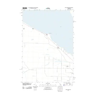 2011 Point Nipigon2011 Print · USGSCovers Inverness Township, including Point Nipigon, Bois Blanc Township, and other nearby areas
 - 2011 Map of Mullett Lake, 2011 Print
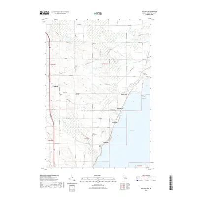
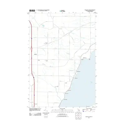 2011 Mullett Lake2011 Print · USGSCovers Inverness Township, including Mullett Township, Birchwood, and other nearby areas
 - 2011 Map of Aloha, 2011 Print
 2011 Aloha2011 Print · USGSCovers Inverness Township, including Cheboygan, Aloha, and other nearby areas
 - 2011 Map of Cheboygan, 2011 Print
 2011 Cheboygan2011 Print · USGSCovers Inverness Township, including Cheboygan, Bois Blanc Township, and other nearby areas
 - 2014 Map of Point Nipigon, 2014 Print
 2014 Point Nipigon2014 Print · USGSCovers Inverness Township, including Point Nipigon, Bois Blanc Township, and other nearby areas
 - 2014 Map of Aloha, 2014 Print
 2014 Aloha2014 Print · USGSCovers Inverness Township, including Cheboygan, Aloha, and other nearby areas
 - 2014 Map of Mullett Lake, 2014 Print
 2014 Mullett Lake2014 Print · USGSCovers Inverness Township, including Mullett Township, Birchwood, and other nearby areas
 - 2014 Map of Cheboygan, 2014 Print
 2014 Cheboygan2014 Print · USGSCovers Inverness Township, including Cheboygan, Bois Blanc Township, and other nearby areas
 - 2017 Map of Cheboygan, 2017 Print
 2017 Cheboygan2017 Print · USGSCovers Inverness Township, including Cheboygan, Bois Blanc Township, and other nearby areas
 - 2017 Map of Point Nipigon, 2017 Print
 2017 Point Nipigon2017 Print · USGSCovers Inverness Township, including Point Nipigon, Bois Blanc Township, and other nearby areas
 - 2017 Map of Mullett Lake, 2017 Print
 2017 Mullett Lake2017 Print · USGSCovers Inverness Township, including Mullett Township, Birchwood, and other nearby areas
 - 2017 Map of Aloha, 2017 Print
 2017 Aloha2017 Print · USGSCovers Inverness Township, including Cheboygan, Aloha, and other nearby areas
 - 2019 Map of Mullett Lake, 2019 Print
 2019 Mullett Lake2019 Print · USGSCovers Inverness Township, including Mullett Township, Birchwood, and other nearby areas
 - 2019 Map of Point Nipigon, 2019 Print
 2019 Point Nipigon2019 Print · USGSCovers Inverness Township, including Point Nipigon, Bois Blanc Township, and other nearby areas
 - 2019 Map of Cheboygan, 2019 Print
 2019 Cheboygan2019 Print · USGSCovers Inverness Township, including Cheboygan, Bois Blanc Township, and other nearby areas
 - 2019 Map of Aloha, 2019 Print
 2019 Aloha2019 Print · USGSCovers Inverness Township, including Cheboygan, Aloha, and other nearby areas
Showing maps 1-25 of 29
Top cities near Inverness Township
- Cheboygan historical maps
- Indian River historical maps
- Aloha historical maps
- Carp Lake historical maps
- Mackinaw City historical maps
Top neighborhoods of Inverness Township
Frequently asked questions
- What are the different types of historical maps available for Inverness Township?
- What is the oldest map of Inverness Township?
- Where can I purchase historical maps of Inverness Township for my home or office?
- Where can I download high-res historical maps of Inverness Township?
- Are there historical topographic maps available for Inverness Township?
- Is there historical aerial imagery available for Inverness Township?
- Where are historical maps of Inverness Township sourced from?