Old Maps of Waverly Township, Michigan for Genealogy
Trace your family roots with 41 historic maps of Waverly Township. These high-res maps reveal old neighborhoods, homesites, landmarks, and streets — helping you uncover where your ancestors lived and how the area evolved over time.
- Explore historic neighborhoods: Identify where your relatives may have lived in the 1800s or 1900s.
- Compare maps over time: Trace the changes in streets, buildings, and landmarks for multi-generational research.
- Perfect for genealogy & ancestry research: Used by family historians and researchers to map out lineage and migration.
These maps are an incredible resource for exploring your personal connection to Waverly Township's past.
Waverly Township, MI maps
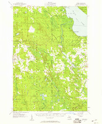
(41)- 1955 Map of Cheboygan, 1964 Print
 1955 Cheboygan1964 Print · USGSNorthern Michigan in the mid-fifties is a landscape of dense timber and deep water, showing the region just as the road network began to modernize. Trace family roots in lakeside towns like St Ignace and Petoskey, or follow the historic tracks of the Pennsylvania RR and New York Central RR.5 unique versions available
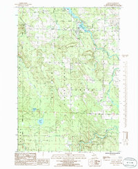
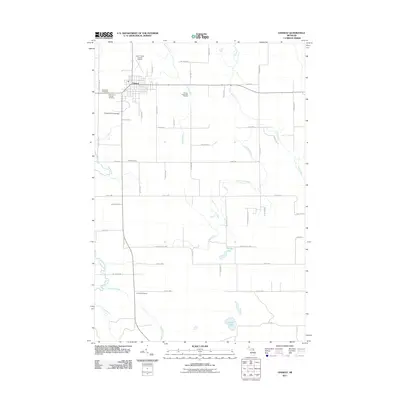
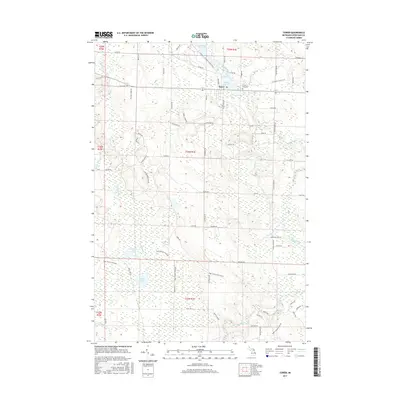
 - 1957 Map of Tower, 1958 Print
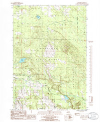
 1957 Tower1958 Print · USGSCheboygan County’s timberlands and rural junctions are captured here in the late fifties as the regional rail network still served the forest economy. Researchers can locate the Waverly Cem, abandoned schoolhouses, and old stops like Fingerboard Corner and Afton.3 unique versions available
 - 1957 Map of Onaway, 1959 Print
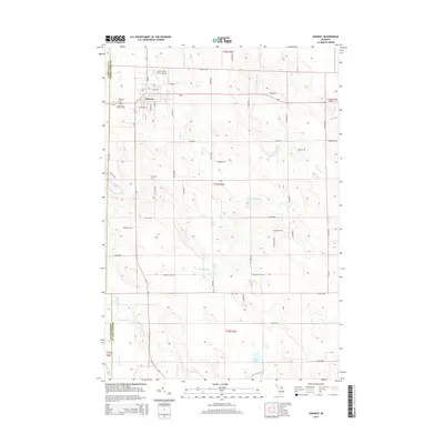
 1957 Onaway1959 Print · USGSNorthern Michigan's timber and rail country is captured here in the late fifties, centered on the community of Onaway. Genealogists and historians can trace the Detroit and Mackinac railroad line, find old schools like Vibber Sch, and locate family plots in North Allis Cem.2 unique versions available
 - 1958 Map of Cheboygan
 1958 Cheboygan1958 Print · USGSThe tip of Michigan's Lower Peninsula and the surrounding Great Lakes islands are shown here in the late fifties, during the peak of the rail-and-ferry era. Trace the paths of the Pennsylvania RR and explore lakeside settlements like St James, Petoskey, and Indian River.2 unique versions available
 - 1982 Map of Petoskey
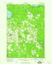
 1982 Petoskey1982 Print · USGSNorthern Michigan in the early eighties shows a landscape of deep timber and vast inland lakes. Genealogists and historians can trace the rail corridors of the Michigan Central and Detroit and Mackinac between Petoskey, Gaylord, and Wolverine.
 - 1986 Map of Onaway
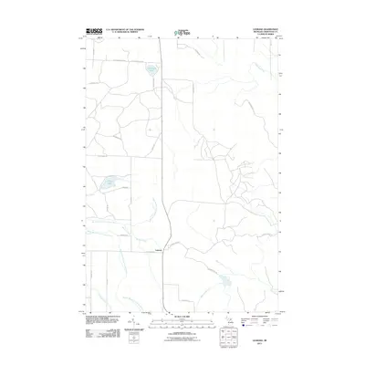
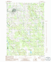 1986 Onaway1986 Print · USGSIn the mid-1980s, the northern Michigan community of Onaway sat at the edge of the sprawling Mackinaw State Forest. Researchers can trace the path of an Abandoned Railroad or locate local landmarks like Loon Lake and the Cem near the county line.
 - 1986 Map of Legrand
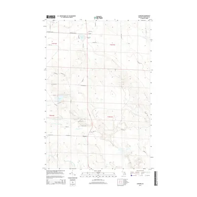
 1986 Legrand1986 Print · USGSThe northern Michigan woods in the mid-1980s are captured here during a time of forestry and quiet rural life. Researchers can trace the path of the Old RR Grade near Legrand or locate landmarks like the Town Hall and Silver Lake.
 - 1986 Map of Tower
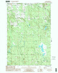
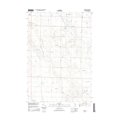
 1986 Tower1986 Print · USGSCheboygan County during the mid-1980s reveals a landscape of managed forests and river-driven settlements like Tower. Researchers can trace the legacy of northern Michigan transit and industry via the Old RR Grade and the Power House on Tower Pond.
 - 1986 Map of Black Lake Bluffs
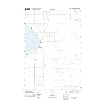
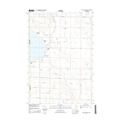
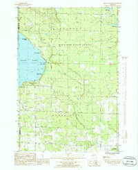 1986 Black Lake Bluffs1986 Print · USGSThe southeastern shores of Black Lake are captured here in the mid-1980s, showcasing a landscape of public forests and lakefront settlements. Genealogists and researchers can trace the Old RR Grade or locate early recreation sites like Onaway State Park and Coddes Beach.
 - 1986 Map of Afton
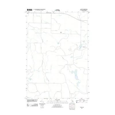
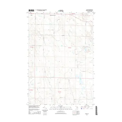
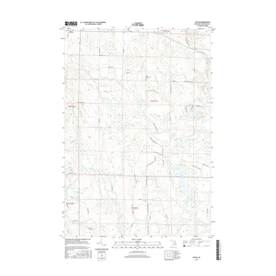
 1986 Afton1986 Print · USGSCheboygan County woodlands and river valleys are captured here in the mid-eighties, centered on the Mackinaw State Forest. Researchers can trace the Old RR Grade and locate old crossroads like Fingerboard Corner and the settlement of Afton.2 unique versions available
 - 1986 Map of Hangore Heights
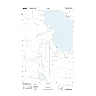
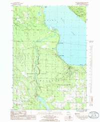 1986 Hangore Heights1986 Print · USGSThe western shores of Black Lake and the Mackinaw State Forest are detailed here during the mid-1980s. Researchers can trace the development of waterfront communities like Pine Grove Beach or locate local landmarks such as the Michigan Grade and the riverfront Power Plant.
 - 2011 Map of Tower, 2011 Print
 2011 Tower2011 Print · USGSCovers Waverly Township, including Walker Township, Nunda Township, and other nearby areas
 - 2011 Map of Afton, 2011 Print
 2011 Afton2011 Print · USGSCovers Waverly Township, including Walker Township, Ellis Township, and other nearby areas
 - 2011 Map of Black Lake Bluffs, 2011 Print
 2011 Black Lake Bluffs2011 Print · USGSCovers Waverly Township, including Black Lake Bluffs, Canfield Beach, and other nearby areas
 - 2011 Map of Hangore Heights, 2011 Print
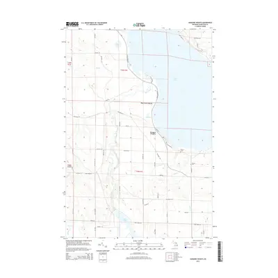
 2011 Hangore Heights2011 Print · USGSCovers Waverly Township, including Hangore Heights, Aloha Township, and other nearby areas
 - 2011 Map of Onaway, 2011 Print
 2011 Onaway2011 Print · USGSCovers Waverly Township, including Onaway, Case Township, and other nearby areas
 - 2011 Map of Legrand, 2011 Print
 2011 Legrand2011 Print · USGSCovers Waverly Township, including Mullett Township, Legrand, and other nearby areas
 - 2014 Map of Onaway, 2014 Print
 2014 Onaway2014 Print · USGSCovers Waverly Township, including Onaway, Case Township, and other nearby areas
 - 2014 Map of Hangore Heights, 2014 Print
 2014 Hangore Heights2014 Print · USGSCovers Waverly Township, including Hangore Heights, Aloha Township, and other nearby areas
 - 2014 Map of Legrand, 2014 Print
 2014 Legrand2014 Print · USGSCovers Waverly Township, including Mullett Township, Legrand, and other nearby areas
 - 2014 Map of Black Lake Bluffs, 2014 Print
 2014 Black Lake Bluffs2014 Print · USGSCovers Waverly Township, including Black Lake Bluffs, Canfield Beach, and other nearby areas
 - 2014 Map of Tower, 2014 Print
 2014 Tower2014 Print · USGSCovers Waverly Township, including Walker Township, Nunda Township, and other nearby areas
 - 2014 Map of Afton, 2014 Print
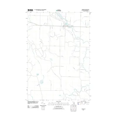
 2014 Afton2014 Print · USGSCovers Waverly Township, including Walker Township, Ellis Township, and other nearby areas
 - 2017 Map of Tower, 2017 Print
 2017 Tower2017 Print · USGSCovers Waverly Township, including Walker Township, Nunda Township, and other nearby areas
 - 2017 Map of Afton, 2017 Print
 2017 Afton2017 Print · USGSCovers Waverly Township, including Walker Township, Ellis Township, and other nearby areas
Showing maps 1-25 of 41
Top cities near Waverly Township
Top neighborhoods of Waverly Township
Frequently asked questions
- What are the different types of historical maps available for Waverly Township?
- What is the oldest map of Waverly Township?
- Where can I purchase historical maps of Waverly Township for my home or office?
- Where can I download high-res historical maps of Waverly Township?
- Are there historical topographic maps available for Waverly Township?
- Is there historical aerial imagery available for Waverly Township?
- Where are historical maps of Waverly Township sourced from?