Old Maps of Raber Township, Michigan for Hiking & Exploration
Hike through history with 53 historic maps of Raber Township. Explore old trails, ghost towns, and forgotten backroads — perfect for outdoor adventurers and local explorers.
- Rediscover forgotten places: Map out old mining camps, roads, and footpaths that no longer exist on modern maps.
- Layer with modern tools: Combine with LiDAR or satellite views to plan hikes through historical terrain.
- Made for exploration: Popular among hikers, overlanders, and local history lovers.
Use these maps to find adventure and explore the hidden past of Raber Township.
Raber Township, MI maps
(53)- 1953 Map of Munuscong, 1955 Print
 1953 Munuscong1955 Print · USGSThe eastern Upper Peninsula shoreline comes alive in the mid-fifties, showing the vital maritime corridors of the St. Marys River. Trace the winding Gogomain River through the forest or locate the docks and lights at Munuscong and Pilot Island Light.2 unique versions available
 - 1953 Map of Munuscong NE, 1955 Print
 1953 Munuscong NE1955 Print · USGSThe international border along the Saint Marys River comes alive in the early 1950s, showing the intersection of Michigan and Ontario. Tracing the shoreline reveals landmarks like Point aux Frenes, the North Raber Sch, and the wild reaches of Neebish Island.3 unique versions available
 - 1954 Map of Sault Sainte Marie, 1979 Print
 1954 Sault Sainte Marie1979 Print · USGSThe Eastern Upper Peninsula and Ontario borderlands are captured here at the height of the mid-century era. Family historians can trace settlements like Grand Marais and Stalwart, while mapping the strategic grounds of Kincheloe AFB.3 unique versions available
 - 1955 Map of Cheboygan, 1964 Print
 1955 Cheboygan1964 Print · USGSNorthern Michigan in the mid-fifties is a landscape of dense timber and deep water, showing the region just as the road network began to modernize. Trace family roots in lakeside towns like St Ignace and Petoskey, or follow the historic tracks of the Pennsylvania RR and New York Central RR.5 unique versions available
 - 1956 Map of Sault Sainte Marie, 1964 Print
 1956 Sault Sainte Marie1964 Print · USGSThe Eastern Upper Peninsula and the Canadian border meet in this mid-sixties survey of the bustling Soo Locks region. Genealogists and historians can trace the paths of the Soo Line and locate lakeside communities from Grand Marais to Shelldrake.2 unique versions available
 - 1957 Map of Sault Sainte Marie
 1957 Sault Sainte Marie1957 Print · USGSThe Upper Peninsula and Ontario border come alive in this mid-century portrait of the eastern Lake Superior shoreline and the vital St. Marys River corridor. Genealogists and historians can trace rail-era settlements from Newberry to Detour, while locating military landmarks like Kinross Air Force Base.
 - 1958 Map of Cheboygan
 1958 Cheboygan1958 Print · USGSThe tip of Michigan's Lower Peninsula and the surrounding Great Lakes islands are shown here in the late fifties, during the peak of the rail-and-ferry era. Trace the paths of the Pennsylvania RR and explore lakeside settlements like St James, Petoskey, and Indian River.2 unique versions available
 - 1958 Map of Sault Sainte Marie
 1958 Sault Sainte Marie1958 Print · USGSThe eastern Upper Peninsula and the Canadian borderland appear here during the late fifties, a time of military growth and forest management. Researchers can locate vanished rail stops along the Soo Line, early sites like the Fiborn Quarry, and the sprawling Kinross Air Force Base.
 - 1961 Map of Blind River, 1966 Print
 1961 Blind River1966 Print · USGSThe North Channel and Ontario shoreline are captured here in the early sixties, showing the vital link between coastal ports and the rugged interior. Trace the Canadian Pacific rail line through Thessalon and Massey, or locate landings on Drummond Island.3 unique versions available
 - 1964 Map of Albany Island, 1965 Print
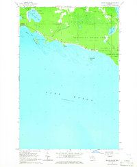 1964 Albany Island1965 Print · USGSThe eastern Upper Peninsula shoreline meets the waters of Lake Huron in this mid-1960s survey of Chippewa County. Trace the wild coastal terrain of Munuscong State Forest and the protected waters of Albany Harbor and Big Trout Lake.3 unique versions available
 - 1964 Map of Stalwart, 1965 Print
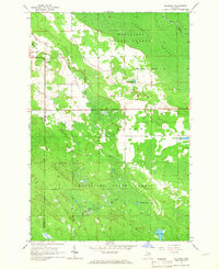 1964 Stalwart1965 Print · USGSThe eastern Upper Peninsula is shown in the mid-1960s, documenting the rural community of Stalwart and the surrounding wilderness. Genealogists and historians can locate the Stalwart Cem and Fairground, or trace family-named waters like McAdams Lake and Sam Taylor Lake.
 - 1964 Map of Prentiss Bay, 1965 Print
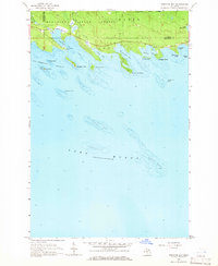 1964 Prentiss Bay1965 Print · USGSThe northern shores of Lake Huron appear in detail during the mid-1960s, showing the intersection of Mackinac and Chippewa counties. Genealogists and maritime historians can trace coastal features like Cedar Campus Camp, the Light at Martin Reef, and the many inlets of Prentiss Bay.2 unique versions available
 - 1964 Map of Lime Island, 1966 Print
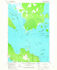 1964 Lime Island1966 Print · USGSThe maritime borderlands between Michigan and Ontario come into focus in the mid-1960s. Researchers can trace the shoreline of De Tour Village and find local landmarks like Sacred Heart Cem and Lime Island.2 unique versions available
 - 1964 Map of Goetzville, 1966 Print
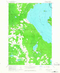 1964 Goetzville1966 Print · USGSThe Saint Marys River shoreline and the international border with Ontario are mapped here during the mid-sixties. Researchers can locate the Township Sch, St Stanislaus Ch, and the Old Railroad Grade running through the Gogomain Swamp.2 unique versions available
 - 1968 Map of Blind River
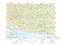 1968 Blind River1968 Print · USGSThe North Channel coast and the North Woods of Ontario and Michigan are captured here in the late sixties. Genealogists and local historians can trace the Canadian Pacific rail line through Bruce Station, Thessalon, and Blind River.
 - 1984 Map of Drummond, 1985 Print
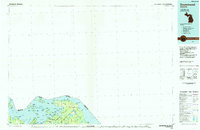 1984 Drummond1985 Print · USGSUpper Peninsula maritime life and the island geography of Chippewa County are captured here in the mid-eighties. Trace the roads through Maxton, locate the Quarry near the shore, or explore the inlets of Potagannissing Bay and Sturgeon Bay.2 unique versions available
 - 1984 Map of Cheboygan, 1985 Print
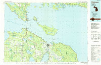 1984 Cheboygan1985 Print · USGSThe Straits of Mackinac and the northern tip of Michigan's Lower Peninsula are shown here in the mid-1980s. Local researchers can trace family landmarks and rural crossroads from St Ignace to Cheboygan, including Riggsville and Levering.
 - 1984 Map of Sault Ste. Marie South, 1985 Print
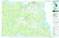 1984 Sault Ste. Marie South1985 Print · USGSEastern Upper Peninsula life in the 1980s is captured here, from the northern forests down to the northern shores of Lake Huron. Researchers can locate small lakeside communities like Dollar Settlement, trace the Soo Line Railroad, and find family sites near Pine Grove Cem.2 unique versions available
 - 2011 Map of Lime Island, 2011 Print
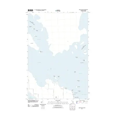 2011 Lime Island2011 Print · USGSThe waters of the St. Marys River and Lake Huron converge here at the start of the twenty-first century, defining a borderland of islands and narrow passages. Researchers can trace the layout of De Tour Village and locate family sites near Sacred Heart Cemetery or Caribou Lake.
 - 2011 Map of Stalwart, 2011 Print
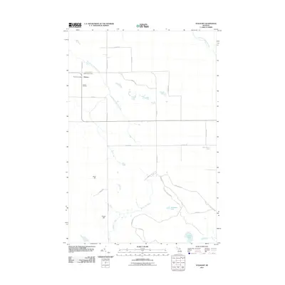 2011 Stalwart2011 Print · USGSMackinac County’s rural eastern landscape is documented here during the early twenty-first century, centered on the community of Stalwart. Researchers can trace local landmarks like the Stalwart Cemetery, Stalwart Fair Ground, and family-named features such as McAdams Lake.
 - 2011 Map of Munuscong NE, 2011 Print
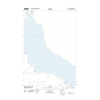 2011 Munuscong NE2011 Print · USGSThe northern reaches of Lake Huron and the Saint Marys River are documented here in the early twenty-first century. Genealogists and local historians can locate the Johnston Family Cemetery on Neebish Island and trace roads leading to Point aux Frenes.
 - 2011 Map of Munuscong, 2011 Print
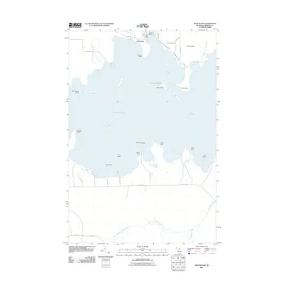 2011 Munuscong2011 Print · USGSThe eastern Upper Peninsula shoreline comes alive in the early twenty-first century, showing the critical navigation channels of the St. Marys River system. Boaters and local historians can trace landmarks like Moon Island Leading Light, the Winter Point Range, and Sawmill Point.
 - 2011 Map of Goetzville, 2011 Print
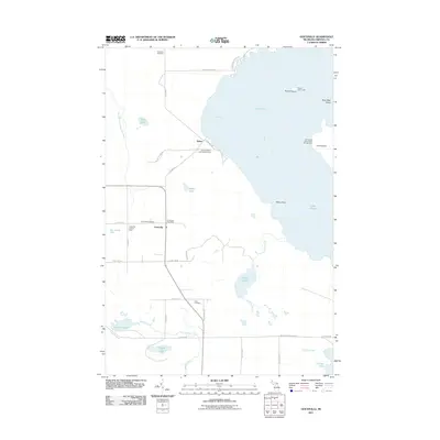 2011 Goetzville2011 Print · USGSThe eastern Upper Peninsula meeting the Saint Marys River is captured here in the early twenty-first century. Researchers can trace family roots at Goetzville Cemetery or Little Cemetery, and locate maritime landmarks like the Round Island Light.
 - 2011 Map of Prentiss Bay, 2011 Print
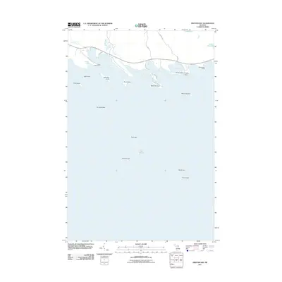 2011 Prentiss Bay2011 Print · USGSMackinac County's northern Lake Huron shoreline is captured here in the early twenty-first century, featuring a series of rugged bays and off-shore reefs. Trace the points and islands of this coastal landscape, from Bear Island to the remote Martin Reef.
 - 2011 Map of Albany Island, 2011 Print
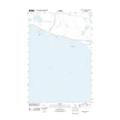 2011 Albany Island2011 Print · USGSMackinac County's northern Lake Huron coast is documented here in the early twenty-first century, showing the intricate shoreline between Detour and Hessel. Researchers can trace land access via S Albany Rd to waterfront landmarks like Albany Harbor, Huron Point, and Saddlebag Island.
Showing maps 1-25 of 53
Top cities near Raber Township
Top neighborhoods of Raber Township
Frequently asked questions
- What are the different types of historical maps available for Raber Township?
- What is the oldest map of Raber Township?
- Where can I purchase historical maps of Raber Township for my home or office?
- Where can I download high-res historical maps of Raber Township?
- Are there historical topographic maps available for Raber Township?
- Is there historical aerial imagery available for Raber Township?
- Where are historical maps of Raber Township sourced from?