Old Maps of Franklin Township, Michigan for Hiking & Exploration
Hike through history with 28 historic maps of Franklin Township. Explore old trails, ghost towns, and forgotten backroads — perfect for outdoor adventurers and local explorers.
- Rediscover forgotten places: Map out old mining camps, roads, and footpaths that no longer exist on modern maps.
- Layer with modern tools: Combine with LiDAR or satellite views to plan hikes through historical terrain.
- Made for exploration: Popular among hikers, overlanders, and local history lovers.
Use these maps to find adventure and explore the hidden past of Franklin Township.
Franklin Township, MI maps
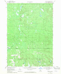
(28)- 1954 Map of Traverse City, 1965 Print
 1954 Traverse City1965 Print · USGSNorthern Michigan’s vast lakeshores and timberlands are captured here in the mid-fifties, showing the region before the modern interstate era. Genealogists and researchers can trace rail connections like the Detroit and Mackinac RR or find old communities such as Suttons Bay, Elk Rapids, and Prudenville.4 unique versions available
 - 1958 Map of Traverse City
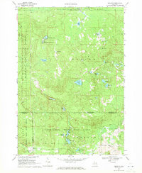
 1958 Traverse City1958 Print · USGSNorthern Lower Michigan was a landscape of vast state forests and burgeoning lakeside retreats in the late fifties. Genealogists and historians can trace the rail corridors of the Ann Arbor RR and find established settlements from Elk Rapids to Houghton Lake.2 unique versions available
 - 1969 Map of Meredith NW, 1971 Print
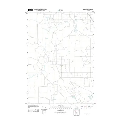
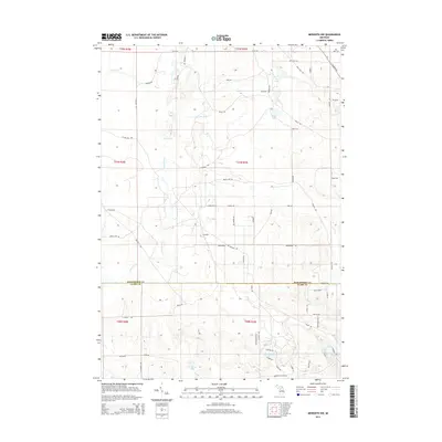
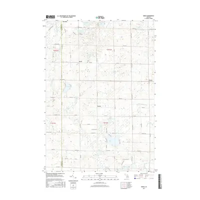
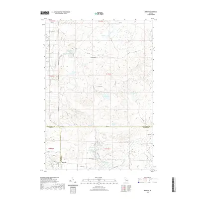
 1969 Meredith NW1971 Print · USGSThe Roscommon and Clare county line was a quiet landscape of forest and water in the late sixties. Researchers can trace the legacy of Michigan logging and industry via the Old Railroad Grade, the Meredith Grade, and the Headquarters Oil and Gas Field Road.2 unique versions available
 - 1969 Map of Meredith, 1971 Print
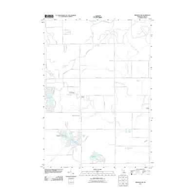
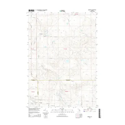
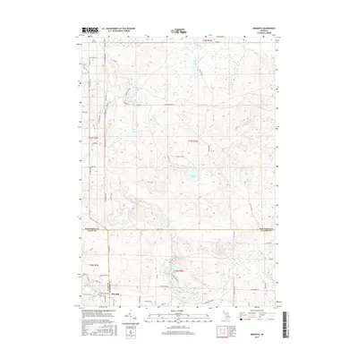
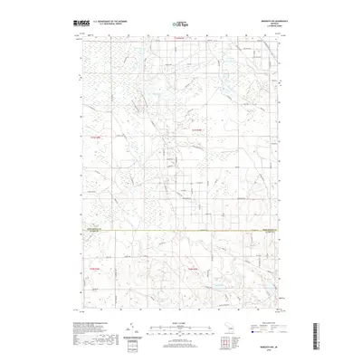
 1969 Meredith1971 Print · USGSThe woodlands around Meredith were a nexus of state forest lands and glacial lakes in the late 1960s. Researchers can trace early roads and local landmarks like the Meredith Drive-in Theater, Hoister Lake, and the winding Sugar River.2 unique versions available
 - 1969 Map of Meredith SW, 1971 Print
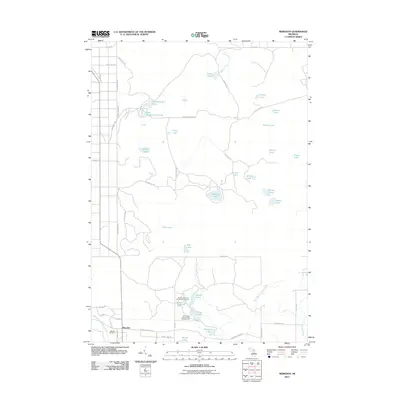
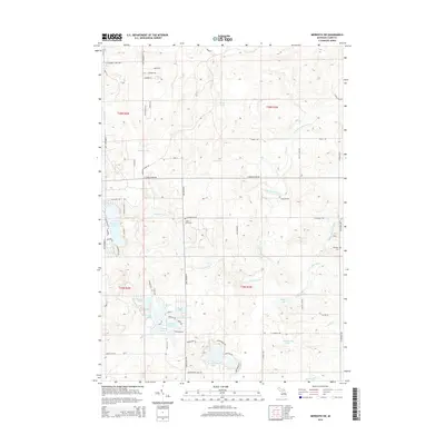
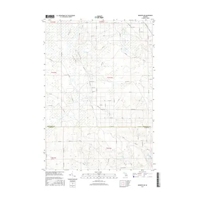
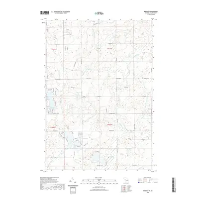
 1969 Meredith SW1971 Print · USGSClare County in the late sixties shows a landscape of deep state forests and emerging energy infrastructure. Researchers can trace the Old Railroad Grade through the Chippewa River State Forest or locate sites like Amble Sch and Hamilton Cem.2 unique versions available
 - 1969 Map of Skeels, 1972 Print
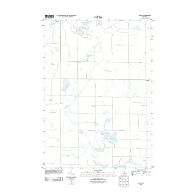
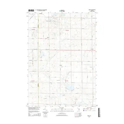
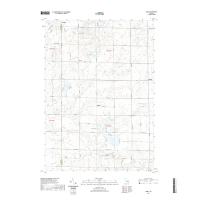
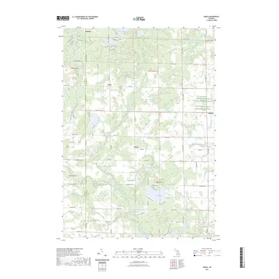
 1969 Skeels1972 Print · USGSGladwin County, Michigan, is shown here in the late sixties as a landscape of state forests and quiet lakeside settlements. Local historians can trace the rural layout of Skeels, Podunk, and Oberlin, or find landmarks like Chappel Dam and Pratt Lake.
 - 1983 Map of Houghton Lake, 1984 Print
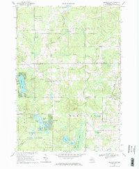
 1983 Houghton Lake1984 Print · USGSIn the early 1980s, the Michigan heartland around Houghton Lake was a patchwork of state forest and growing lakeside resorts. Genealogists and historians can trace the development of communities like West Branch and Rose City alongside landmarks like Roscommon County Airfield.
 - 1989 Map of Traverse City, 1990 Print
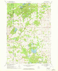
 1989 Traverse City1990 Print · USGSNorthern Michigan’s lake-country and forest lands are captured in the late eighties as seasonal tourism and timber hubs expanded. Genealogists and historians can trace the routes of the Ann Arbor RR, the boundaries of Camp Grayling, and settlements like Elk Rapids and Manton.
 - 2011 Map of Meredith NW, 2011 Print
 2011 Meredith NW2011 Print · USGSCovers Franklin Township, including Denton Township, Frost Township, and other nearby areas
 - 2011 Map of Meredith SW, 2011 Print
 2011 Meredith SW2011 Print · USGSCovers Franklin Township, including Frost Township, Hamilton Township, and other nearby areas
 - 2011 Map of Skeels, 2011 Print
 2011 Skeels2011 Print · USGSCovers Franklin Township, including Sage Township, Sherman Township, and other nearby areas
 - 2011 Map of Meredith, 2011 Print
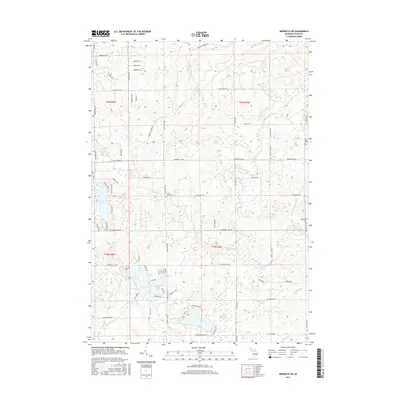
 2011 Meredith2011 Print · USGSCovers Franklin Township, including Sherman Township, Denton Township, and other nearby areas
 - 2014 Map of Meredith NW, 2014 Print
 2014 Meredith NW2014 Print · USGSCovers Franklin Township, including Denton Township, Frost Township, and other nearby areas
 - 2014 Map of Meredith, 2014 Print
 2014 Meredith2014 Print · USGSCovers Franklin Township, including Sherman Township, Denton Township, and other nearby areas
 - 2014 Map of Skeels, 2014 Print
 2014 Skeels2014 Print · USGSCovers Franklin Township, including Sage Township, Sherman Township, and other nearby areas
 - 2014 Map of Meredith SW, 2014 Print
 2014 Meredith SW2014 Print · USGSCovers Franklin Township, including Frost Township, Hamilton Township, and other nearby areas
 - 2017 Map of Skeels, 2017 Print
 2017 Skeels2017 Print · USGSCovers Franklin Township, including Sage Township, Sherman Township, and other nearby areas
 - 2017 Map of Meredith NW, 2017 Print
 2017 Meredith NW2017 Print · USGSCovers Franklin Township, including Denton Township, Frost Township, and other nearby areas
 - 2017 Map of Meredith, 2017 Print
 2017 Meredith2017 Print · USGSCovers Franklin Township, including Sherman Township, Denton Township, and other nearby areas
 - 2017 Map of Meredith SW, 2017 Print
 2017 Meredith SW2017 Print · USGSCovers Franklin Township, including Frost Township, Hamilton Township, and other nearby areas
 - 2019 Map of Meredith, 2019 Print
 2019 Meredith2019 Print · USGSCovers Franklin Township, including Sherman Township, Denton Township, and other nearby areas
 - 2019 Map of Meredith SW, 2019 Print
 2019 Meredith SW2019 Print · USGSCovers Franklin Township, including Frost Township, Hamilton Township, and other nearby areas
 - 2019 Map of Meredith NW, 2019 Print
 2019 Meredith NW2019 Print · USGSCovers Franklin Township, including Denton Township, Frost Township, and other nearby areas
 - 2019 Map of Skeels, 2019 Print
 2019 Skeels2019 Print · USGSCovers Franklin Township, including Sage Township, Sherman Township, and other nearby areas
 - 2023 Map of Skeels, 2023 Print
 2023 Skeels2023 Print · USGSGladwin and Clare counties are captured in this modern survey, showing a landscape defined by the Middle Branch Cedar River and quiet lakeside communities. Genealogists can trace family roots near Skeel Cem or the settlements of Podunk and Oberlin.
Showing maps 1-25 of 28
Top cities near Franklin Township
- Houghton Lake historical maps
- Gladwin historical maps
- Harrison historical maps
- Butman historical maps
- Prudenville historical maps
- Hatton historical maps
Frequently asked questions
- What are the different types of historical maps available for Franklin Township?
- What is the oldest map of Franklin Township?
- Where can I purchase historical maps of Franklin Township for my home or office?
- Where can I download high-res historical maps of Franklin Township?
- Are there historical topographic maps available for Franklin Township?
- Is there historical aerial imagery available for Franklin Township?
- Where are historical maps of Franklin Township sourced from?