Old Maps of Frost Township, Michigan for Metal Detecting
Plan your next treasure hunt with 29 historic maps of Frost Township. Find old homesites, ghost towns, trails, and gathering spots that may be lost to time — perfect for identifying promising metal detecting locations.
- Locate forgotten sites: Uncover places like long-lost settlements, abandoned rail lines, or gathering spots.
- Plan better hunts: Use map overlays combined with LiDAR or satellite views to narrow in on historically rich areas.
- Made for detectorists: Thousands of hobbyists use these maps to discover relics, coins, and hidden history.
Use these historic maps to boost your research and find new opportunities beneath the surface of Frost Township.
Frost Township, MI maps
(29)- 1954 Map of Traverse City, 1965 Print
 1954 Traverse City1965 Print · USGSNorthern Michigan’s vast lakeshores and timberlands are captured here in the mid-fifties, showing the region before the modern interstate era. Genealogists and researchers can trace rail connections like the Detroit and Mackinac RR or find old communities such as Suttons Bay, Elk Rapids, and Prudenville.4 unique versions available
 - 1957 Map of Harrison, 1958 Print
 1957 Harrison1958 Print · USGSHarrison and the Houghton Lake State Forest appear here in the late fifties, showcasing a region of timber, oil, and quiet lakeside settlements. Researchers can trace rural life through the Latter Day Saints Ch, Summerfield Cem, and the old Doty Sch.2 unique versions available
 - 1958 Map of Traverse City
 1958 Traverse City1958 Print · USGSNorthern Lower Michigan was a landscape of vast state forests and burgeoning lakeside retreats in the late fifties. Genealogists and historians can trace the rail corridors of the Ann Arbor RR and find established settlements from Elk Rapids to Houghton Lake.2 unique versions available
 - 1969 Map of Meredith NW, 1971 Print
 1969 Meredith NW1971 Print · USGSThe Roscommon and Clare county line was a quiet landscape of forest and water in the late sixties. Researchers can trace the legacy of Michigan logging and industry via the Old Railroad Grade, the Meredith Grade, and the Headquarters Oil and Gas Field Road.2 unique versions available
 - 1969 Map of Meredith SW, 1971 Print
 1969 Meredith SW1971 Print · USGSClare County in the late sixties shows a landscape of deep state forests and emerging energy infrastructure. Researchers can trace the Old Railroad Grade through the Chippewa River State Forest or locate sites like Amble Sch and Hamilton Cem.2 unique versions available
 - 1983 Map of Houghton Lake, 1984 Print
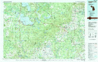 1983 Houghton Lake1984 Print · USGSIn the early 1980s, the Michigan heartland around Houghton Lake was a patchwork of state forest and growing lakeside resorts. Genealogists and historians can trace the development of communities like West Branch and Rose City alongside landmarks like Roscommon County Airfield.
 - 1983 Map of Harrison, 1984 Print
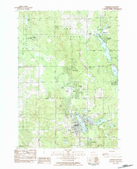 1983 Harrison1984 Print · USGSHarrison and its surrounding lake country are shown here in the early 1980s, revealing a landscape of dense forests and expanding residential developments. Researchers can trace local heritage through numerous cemeteries like Maple Grove Cem and community landmarks such as the County Fairground and Budd Lake.
 - 1983 Map of Cooperton, 1984 Print
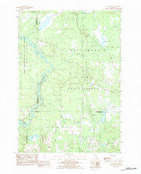 1983 Cooperton1984 Print · USGSThe Muskegon River oxbows through the Michigan timberlands in the early eighties, marking the intersection of the Missaukee, Roscommon, and Clare county lines. Researchers can trace forest development near Cooperton and locate remote sites like Wraco Lodge Lake and the Bear Creek Dam.
 - 1989 Map of Traverse City, 1990 Print
 1989 Traverse City1990 Print · USGSNorthern Michigan’s lake-country and forest lands are captured in the late eighties as seasonal tourism and timber hubs expanded. Genealogists and historians can trace the routes of the Ann Arbor RR, the boundaries of Camp Grayling, and settlements like Elk Rapids and Manton.
 - 2011 Map of Cooperton, 2011 Print
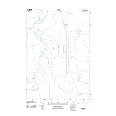 2011 Cooperton2011 Print · USGSFrost Township in the early twenty-first century is defined by the winding Muskegon River and the small settlement of Cooperton. Researchers can trace old family road names and locate landmarks like the Jonesville Bridge and Wraco Lodge Lake.
 - 2011 Map of Meredith NW, 2011 Print
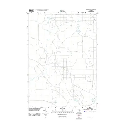 2011 Meredith NW2011 Print · USGSDenton Township's wooded interior is shown here in the early twenty-first century, defined by its active energy industry and numerous glacial lakes. Trace local routes to the Headquarters Oil and Gas Field, Nokomis Camp, and isolated waters like Rollway Lake.
 - 2011 Map of Harrison, 2011 Print
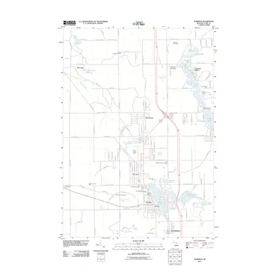 2011 Harrison2011 Print · USGSHarrison and its surrounding lake country are documented here in the early 2000s, showing a landscape defined by seasonal recreation and local industry. You can trace family history at Frost Township Cemetery or explore the area near the West Hamilton Oil and Gas Field.
 - 2011 Map of Meredith SW, 2011 Print
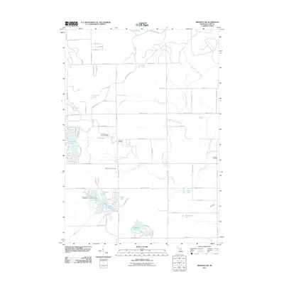 2011 Meredith SW2011 Print · USGSFrost Township in Clare County is shown here during a period of steady recreational and industrial use in the early twenty-first century. Genealogists and local historians can locate Cedar View Cemetery and Hamilton Cemetery, or trace the development of the North Hamilton Oil and Gas Field among the many lakes.
 - 2014 Map of Harrison, 2014 Print
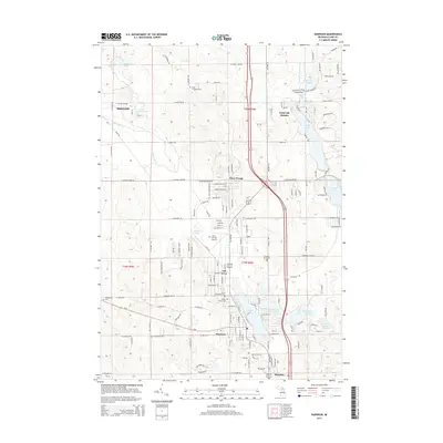 2014 Harrison2014 Print · USGSHarrison and the surrounding Clare County lake country are captured here during a period of steady residential and recreational growth. Genealogists and local historians can trace family plots at Maple Grove Cem or explore the layouts of lakeside communities like Long Lake Heights and Ash Acres.
 - 2014 Map of Meredith NW, 2014 Print
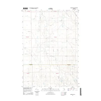 2014 Meredith NW2014 Print · USGSThe Roscommon and Clare County line in 2014 remains a landscape of intricate waterways and forest trails. Researchers can trace the layout of Calhoun and map access to remote waters like Pup Lake, Rollway Lake, and Elbow Lake.
 - 2014 Map of Cooperton, 2014 Print
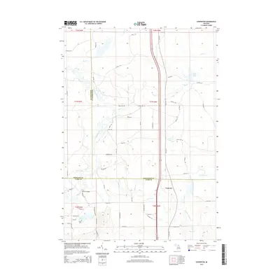 2014 Cooperton2014 Print · USGSUpper Michigan's central interior is captured here as three counties converge at Cooperton. Map researchers can trace the winding Muskegon River across Jonesville Bridge or locate remote water features like Wraco Lodge Lake and Grass Lake.
 - 2014 Map of Meredith SW, 2014 Print
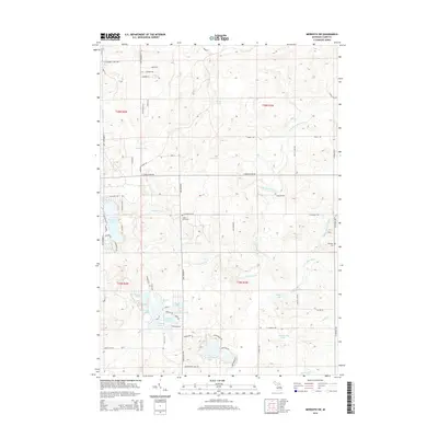 2014 Meredith SW2014 Print · USGSFrost Township and the surrounding Clare County woods are mapped here in the early twenty-first century, showing a landscape defined by its rivers and glacial lakes. Genealogists and local historians can locate Cedar View Cem, Hamilton Cem, and residential clusters around Springwood Lakes and Dodge Lake.
 - 2017 Map of Meredith NW, 2017 Print
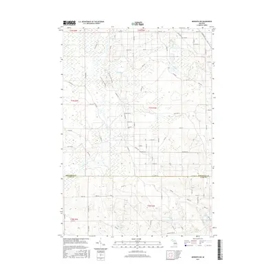 2017 Meredith NW2017 Print · USGSDenton Township and the surrounding wetlands are documented here in 2017, showcasing the interplay between the dense glacial lake system and rural development. Researchers can trace land tracts and local routes like Meredith Grade Road near Rollway Lake and Elbow Lake.
 - 2017 Map of Cooperton, 2017 Print
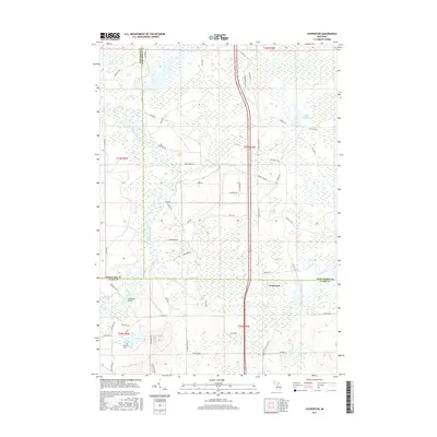 2017 Cooperton2017 Print · USGSUpper Michigan's river-fed wetlands and rural settlements are documented here in the early twenty-first century. Genealogists and local historians can trace family locations near Wilson Grove, the Jonesville Bridge, and the waters of Wraco Lodge Lake.
 - 2017 Map of Meredith SW, 2017 Print
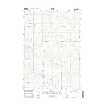 2017 Meredith SW2017 Print · USGSClare County's lake-dotted landscape is captured here in the late 2010s, revealing a dense network of rural roads and seasonal settlements. Genealogists and local historians can locate the Cedar View Cem and Hamilton Cem or trace the drainage of Spike Horn Swamp into Springwood Lakes.
 - 2017 Map of Harrison, 2017 Print
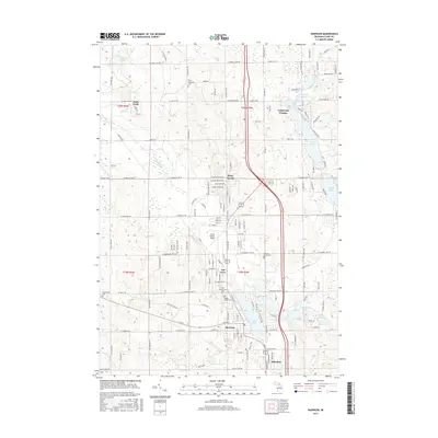 2017 Harrison2017 Print · USGSHarrison and its surrounding lake communities are documented here during a period of steady residential growth. Local historians can locate numerous burial sites such as Frost Township Cem and Maple Grove Cem, or trace early neighborhoods like Buck Trails and Allendale.
 - 2019 Map of Meredith SW, 2019 Print
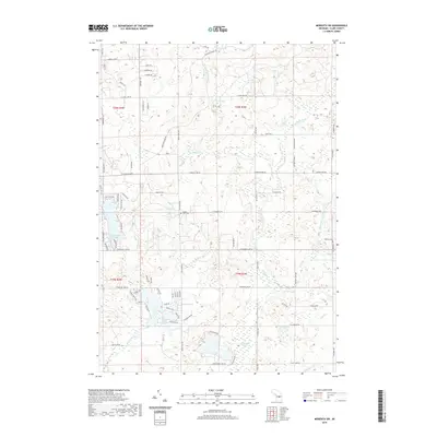 2019 Meredith SW2019 Print · USGSThis Clare County township is defined by its late-twentieth-century rural character and its complex network of kettle lakes and rivers. Genealogists and researchers can trace local history through sites like Cedar View Cem and family-named landmarks like Canada Lake or Mostellar Cr.
 - 2019 Map of Cooperton, 2019 Print
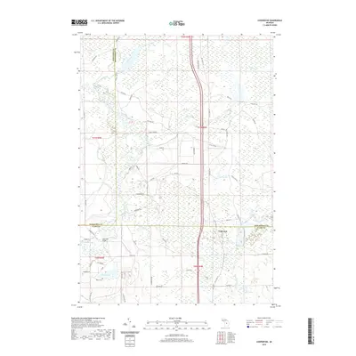 2019 Cooperton2019 Print · USGSThe intersection of Clare, Missaukee, and Roscommon counties is documented here in the late 2010s. Modern researchers can trace the roads around Cooperton, the Jonesville Bridge, and family-named landmarks like Wilson Grove.
 - 2019 Map of Meredith NW, 2019 Print
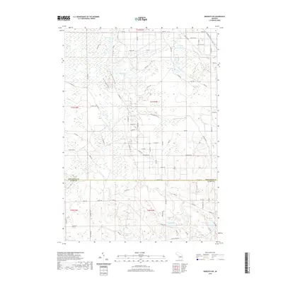 2019 Meredith NW2019 Print · USGSThe borderlands of Roscommon and Clare counties are captured in this recent survey, showcasing a landscape defined by glacial lakes and forest trails. Researchers can trace the Lost Twin Lakes Pathway and locate water bodies like Boyce Lake, Duck Lake, and Pup Lake.
 - 2019 Map of Harrison, 2019 Print
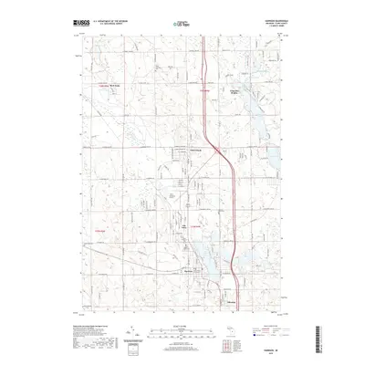 2019 Harrison2019 Print · USGSHarrison and the surrounding glacial lake country are captured in this recent survey, showcasing a landscape of dense residential growth and civic history. Researchers can trace local heritage through several burial grounds like Frost Township Cem and Maple Grove Cem.
Showing maps 1-25 of 29
Top cities near Frost Township
- Houghton Lake historical maps
- Harrison historical maps
- Prudenville historical maps
- Hatton historical maps
- Butterfield historical maps
Top neighborhoods of Frost Township
Frequently asked questions
- What are the different types of historical maps available for Frost Township?
- What is the oldest map of Frost Township?
- Where can I purchase historical maps of Frost Township for my home or office?
- Where can I download high-res historical maps of Frost Township?
- Are there historical topographic maps available for Frost Township?
- Is there historical aerial imagery available for Frost Township?
- Where are historical maps of Frost Township sourced from?