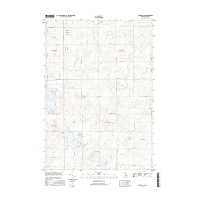
2017 Map of Meredith SW
USGS Topo · Published 2017About this map
Frost Lake and the wetlands of Spike Horn Swamp define this portion of Frost Township, where numerous small glacial lakes cluster in the southern terrain. This landscape is characterized by a dense network of residential and seasonal roads, such as Haskell Lk Rd and Maple Trl, winding between water bodies like Icehouse Lake, Canada Lake, and Dodge Lake. The presence of the Cedar View Cem and Hamilton Cem indicates established local burial sites amidst the rural homesteads. The hydrology is dominated by the branching headwaters of the Cedar River system, including the W Br Cedar River and Middle Br Cedar River. This map captures a moment in the 21st century where the recreation-focused development around lakes like Springwood Lakes and Cranberry Lake coexists with the expansive, low-lying drainage basins of Cranberry Cr and Popple Cr.
Find a feature on this map
85 named features on this map. Tap any name to fly to it.
Don’t see what you’re looking for? This feature index may not catch every label — zoom into the map to look around manually.
Map Details
Editions of this 2017 Meredith SW Map
This is the sole edition of this map. No revisions or reprints were ever made.
Other maps of this area

1954 · Traverse City
USGS Topo · 1:250,000

1954 · Midland
USGS Topo · 1:250,000

1957 · Harrison
USGS Topo · 1:62,500

1958 · Traverse City
USGS Topo · 1:250,000

1958 · Midland
USGS Topo · 1:250,000

1959 · Midland
USGS Topo · 1:250,000

1959 · Clare
USGS Topo · 1:62,500

1966 · Midland
USGS Topo · 1:250,000

1969 · Meredith NW
USGS Topo · 1:24,000

1969 · Meredith
USGS Topo · 1:24,000