2000s (21st Century) Maps of Ovid, Ovid Township
Explore 20 historic maps of Ovid from the 2000s (21st Century). These maps offer a rare glimpse into what life looked like during the 2000s — showing old roads, neighborhoods, homes, and landmarks that have changed or disappeared over time.
Whether you're researching your family's past, planning a metal detecting trip, or studying how Ovid's landscape evolved across the 2000s, these high-resolution maps are a powerful tool for exploring the history of this region.
- Focus on a specific era: All maps on this page are from the 2000s, giving you a focused view of this time period.
- See what’s changed: Compare century-old streets, trails, and buildings to today's modern landscape using overlays and satellite layers.
- Research with precision: Use these maps for genealogy, historical research, land use analysis, or educational projects.
- View, download, or print: Maps are fully viewable online in high resolution, and can be downloaded or printed for your own records.
Start exploring Ovid's history through authentic maps from the 2000s. This is your window into the past.
Ovid, Ovid Township maps
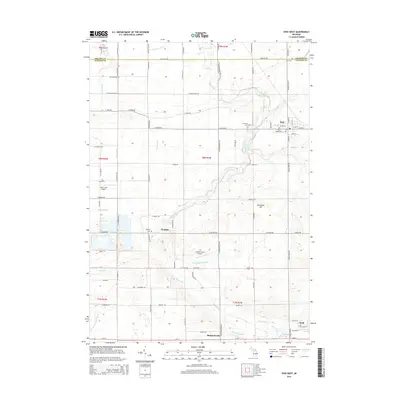
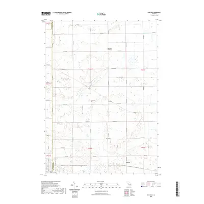
(20)- 2011 Map of Ovid West, 2011 Print
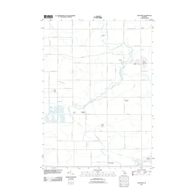 2011 Ovid West2011 Print · USGSCovers Ovid, including Duplain, Elsie, and other nearby areas
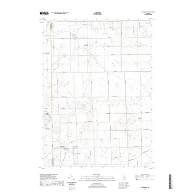
 - 2011 Map of Laingsburg, 2011 Print
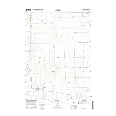
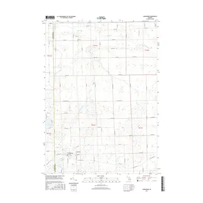
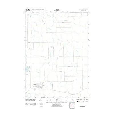 2011 Laingsburg2011 Print · USGSCovers Ovid, including Laingsburg, Bennington Township, and other nearby areas
 - 2011 Map of Price, 2011 Print
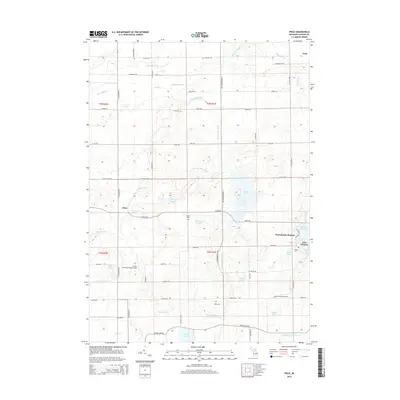
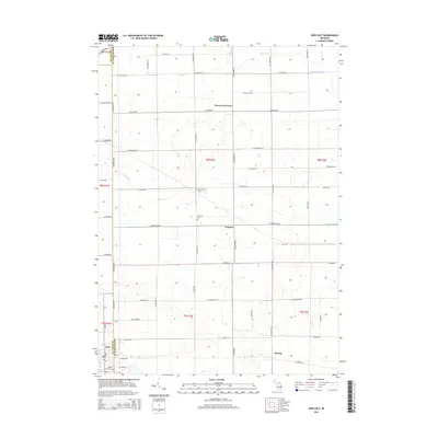
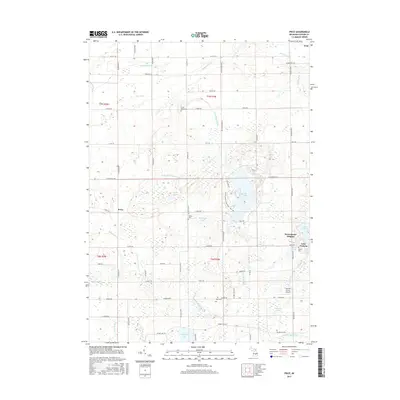
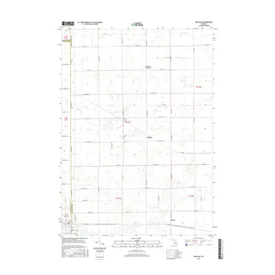
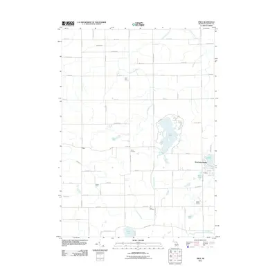 2011 Price2011 Print · USGSCovers Ovid, including Victor Township, Price, and other nearby areas
 - 2011 Map of Ovid East, 2011 Print
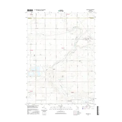
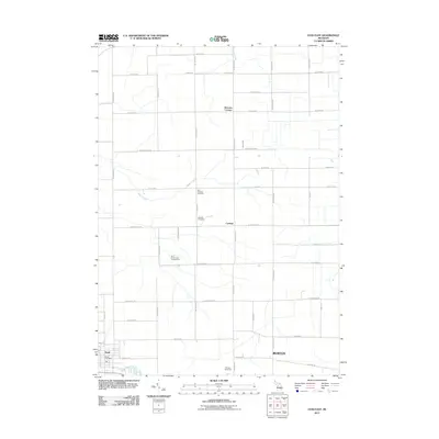 2011 Ovid East2011 Print · USGSCovers Ovid, including Fairfield Township, Middlebury Township, and other nearby areas
 - 2014 Map of Price, 2014 Print
 2014 Price2014 Print · USGSCovers Ovid, including Victor Township, Price, and other nearby areas
 - 2014 Map of Ovid West, 2014 Print
 2014 Ovid West2014 Print · USGSCovers Ovid, including Duplain, Elsie, and other nearby areas
 - 2014 Map of Ovid East, 2014 Print
 2014 Ovid East2014 Print · USGSCovers Ovid, including Fairfield Township, Middlebury Township, and other nearby areas
 - 2014 Map of Laingsburg, 2014 Print
 2014 Laingsburg2014 Print · USGSCovers Ovid, including Laingsburg, Bennington Township, and other nearby areas
 - 2017 Map of Price, 2017 Print
 2017 Price2017 Print · USGSCovers Ovid, including Victor Township, Price, and other nearby areas
 - 2017 Map of Laingsburg, 2017 Print
 2017 Laingsburg2017 Print · USGSCovers Ovid, including Laingsburg, Bennington Township, and other nearby areas
 - 2017 Map of Ovid East, 2017 Print
 2017 Ovid East2017 Print · USGSCovers Ovid, including Fairfield Township, Middlebury Township, and other nearby areas
 - 2017 Map of Ovid West, 2017 Print
 2017 Ovid West2017 Print · USGSCovers Ovid, including Duplain, Elsie, and other nearby areas
 - 2019 Map of Laingsburg, 2019 Print
 2019 Laingsburg2019 Print · USGSCovers Ovid, including Laingsburg, Bennington Township, and other nearby areas
 - 2019 Map of Ovid East, 2019 Print
 2019 Ovid East2019 Print · USGSCovers Ovid, including Fairfield Township, Middlebury Township, and other nearby areas
 - 2019 Map of Ovid West, 2019 Print
 2019 Ovid West2019 Print · USGSCovers Ovid, including Duplain, Elsie, and other nearby areas
 - 2019 Map of Price, 2019 Print
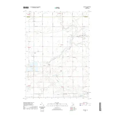
 2019 Price2019 Print · USGSCovers Ovid, including Victor Township, Price, and other nearby areas
 - 2023 Map of Ovid East, 2023 Print
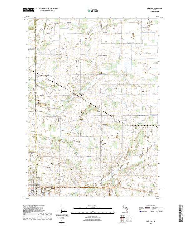 2023 Ovid East2023 Print · USGSShiawassee and Clinton Counties appear here in the early 2020s, showcasing a landscape of section-line farms and critical drainage networks. Genealogists can locate legacy sites like Old Fairfield Cem and Maple Grove Cem near the town of Ovid.
 - 2023 Map of Price, 2023 Print
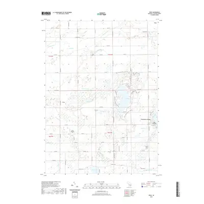
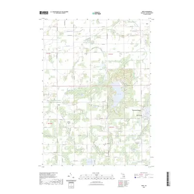 2023 Price2023 Print · USGSClinton County’s agricultural and riparian landscape is captured here in the early 2020s, centered on the waters of Lake Ovid. Researchers can locate several historic burial sites, including South Ovid Cem and Stilson Cem, alongside the community at Price.
 - 2023 Map of Ovid West, 2023 Print
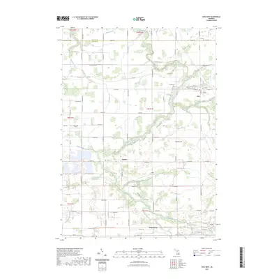 2023 Ovid West2023 Print · USGSClinton and Gratiot counties are captured here in a moment where traditional farmsteads and historic river villages intersect with modern trail systems. Researchers can trace family sites near Elsie, Duplain, and the Ford Cem, or follow the Maple River through the heart of the valley.
 - 2023 Map of Laingsburg, 2023 Print
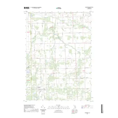 2023 Laingsburg2023 Print · USGSMid-Michigan's agricultural heartland is documented here at the intersection of Shiawassee and Clinton Counties. Genealogists can trace family footprints across Laingsburg Cem, Oak Grove Cem, and the waters of the Looking Glass River.
End of results
Showing maps 1-20 of 20
Top cities near Ovid
- Lansing historical maps
- East Lansing historical maps
- Owosso historical maps
- St. Johns historical maps
- DeWitt historical maps
- Conway Township historical maps
See more
Frequently asked questions
- What are the different types of historical maps available for Ovid?
- What is the oldest map of Ovid?
- Where can I purchase historical maps of Ovid for my home or office?
- Where can I download high-res historical maps of Ovid?
- Are there historical topographic maps available for Ovid?
- Is there historical aerial imagery available for Ovid?
- Where are historical maps of Ovid sourced from?