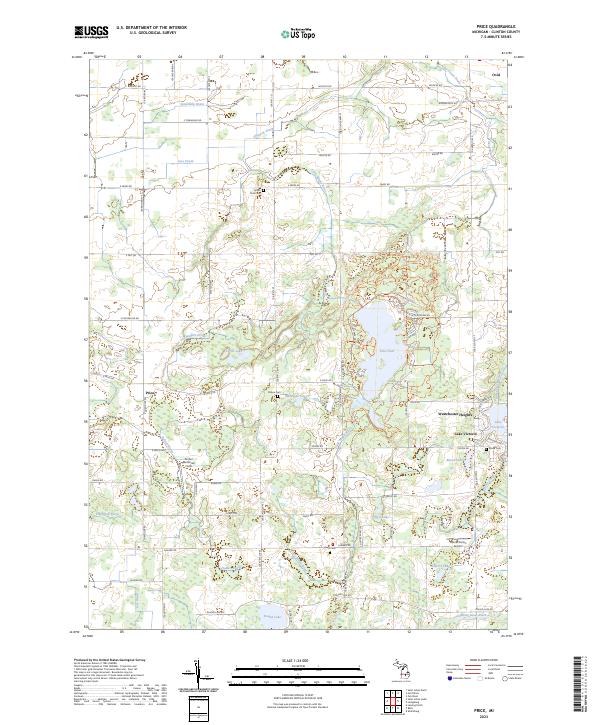
2023 Map of Price
USGS Topo · Published 2023About this map
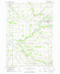
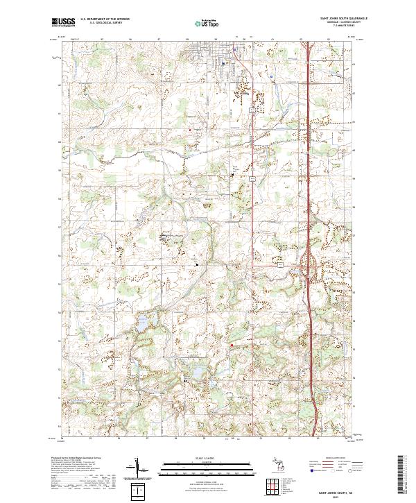
The Little Maple River and Looking Glass River systems define the drainage of this central Michigan landscape, where agricultural land use is managed alongside conservation areas like Sleepy Hollow State Park. The prominent Lake Ovid serves as a central hydrological feature, surrounded by a complex network of county drains such as Spaulding Drain and Holden Drain that supported the area's development.
Find a feature on this map
69 named features on this map. Tap any name to fly to it.
Don’t see what you’re looking for? This feature index may not catch every label — zoom into the map to look around manually.
Map Details
Editions of this 2023 Price Map
This is the sole edition of this map. No revisions or reprints were ever made.
Historical Maps of Ovid Through Time
13 maps found
1927 De Witt
Clinton County, MI
1965 Lansing North
Clinton County, MI
1965 Riley
Clinton County, MI
1965 St. Johns North
Clinton County, MI
1965 St. Johns South
Clinton County, MI
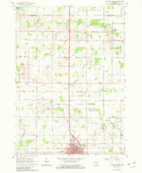
1972 Price
Clinton County, MI
1974 Ovid West
Clinton County, MI
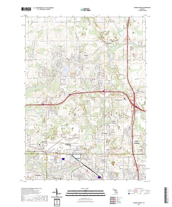
2023 Lansing North
Clinton County, MI
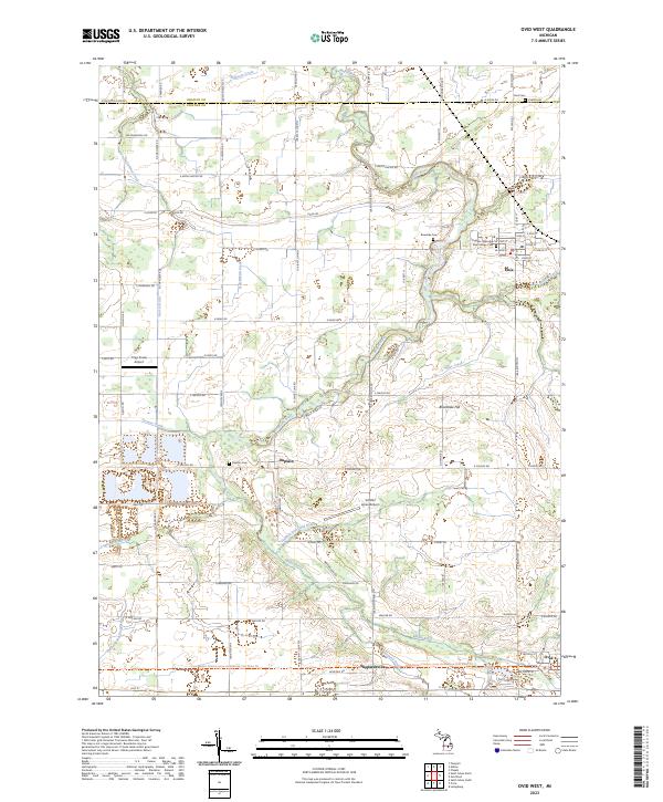
2023 Ovid West
Clinton County, MI
2023 Price
Clinton County, MI
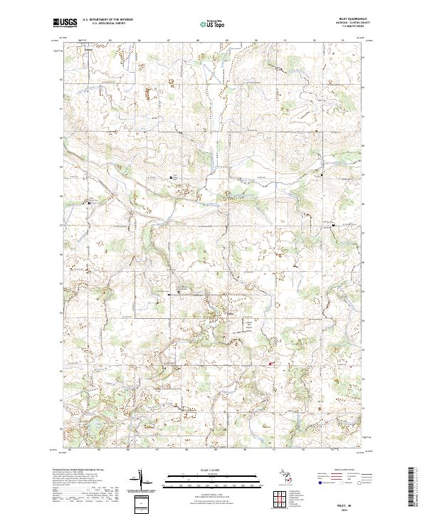
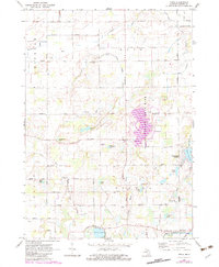
2023 Riley
Clinton County, MI
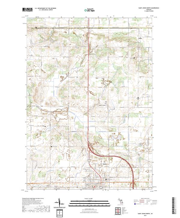
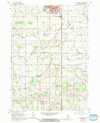
2023 Saint Johns North
Clinton County, MI
2023 Saint Johns South
Clinton County, MI