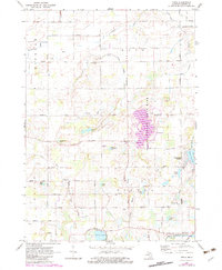
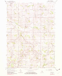
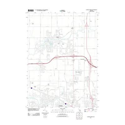
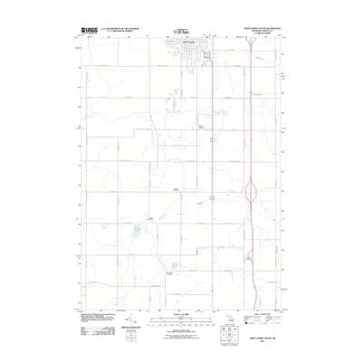
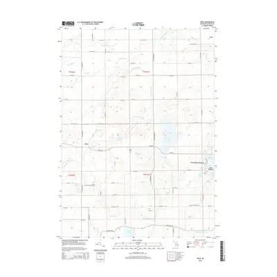
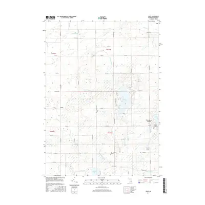
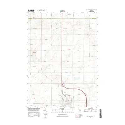
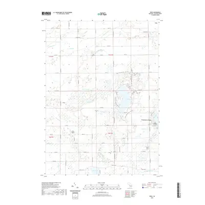
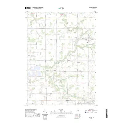
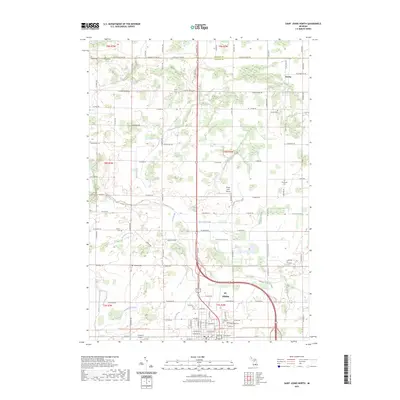
1972 Map of Price
USGS Topo · Published 1983About this map
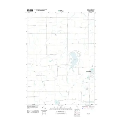
Sleepy Hollow State Park dominates the eastern landscape of this Clinton County survey, centered around the expansive waters of Ovid Lake. This environment is defined by its complex hydrology, where numerous drains like Wildcat Drain and Alder Creek Drain channel water through a network of small glacial lakes including Curtis Lake, Montague Lake, and Giffels Lake. The area reflects a late-20th-century transition toward recreation and rural residential living, exemplified by the development at Westchester Heights near Lake Victoria.
Find a feature on this map
58 named features on this map. Tap any name to fly to it.
Don’t see what you’re looking for? This feature index may not catch every label — zoom into the map to look around manually.
Map Details
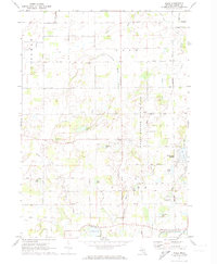
Editions of this 1972 Price Map
2 editions found
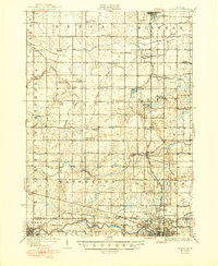
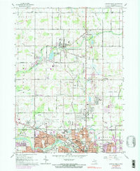
Historical Maps of Ovid Through Time
37 maps found
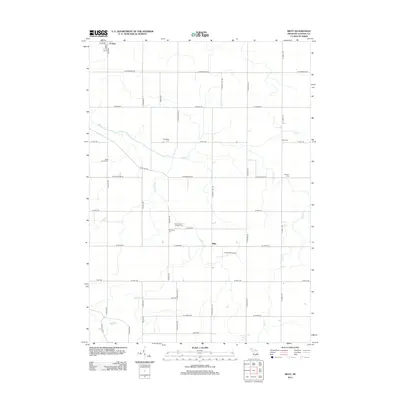
1927 De Witt
Clinton County, MI
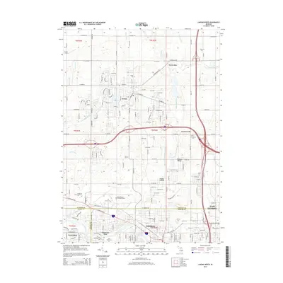
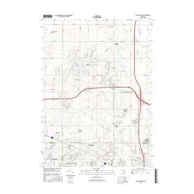
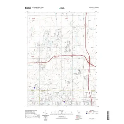
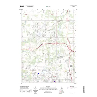
1965 Lansing North
Clinton County, MI
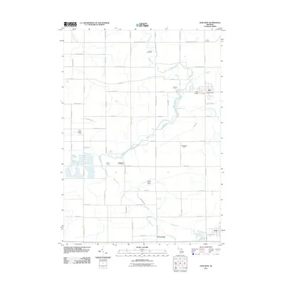
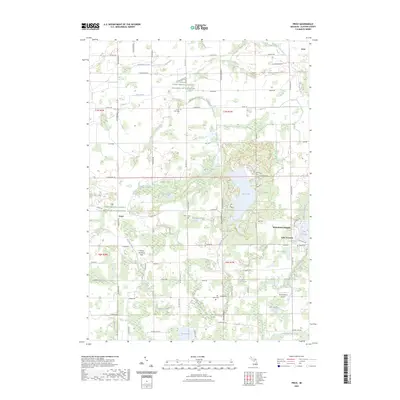
1965 Riley
Clinton County, MI
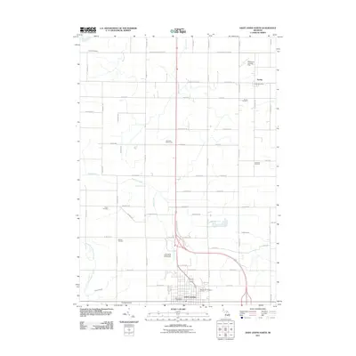
1965 St. Johns North
Clinton County, MI
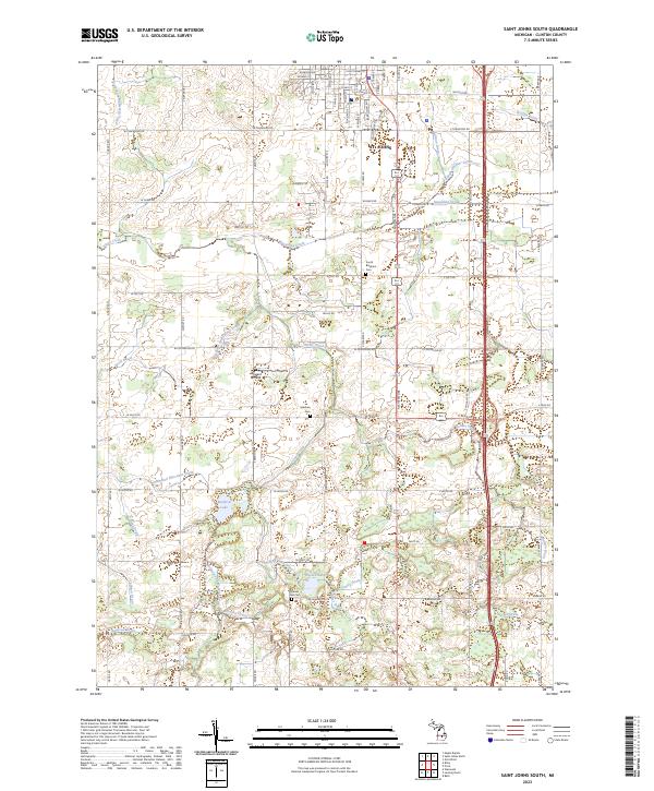
1965 St. Johns South
Clinton County, MI
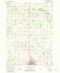
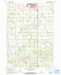
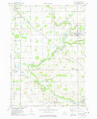
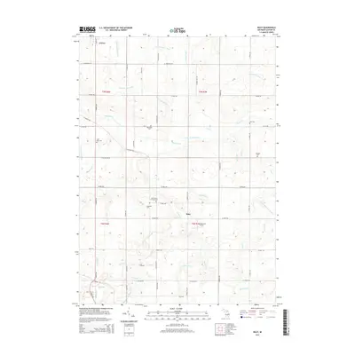
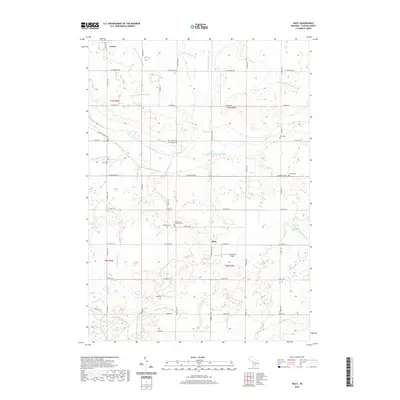
1972 Price
Clinton County, MI
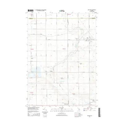
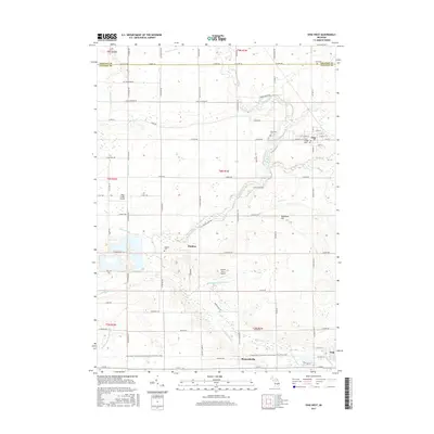
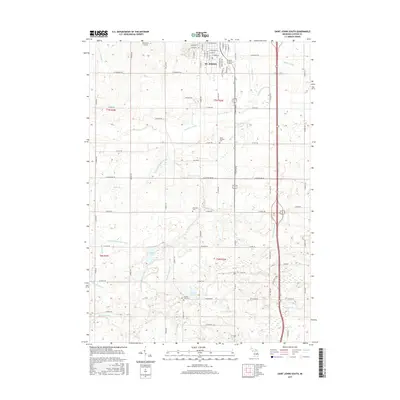
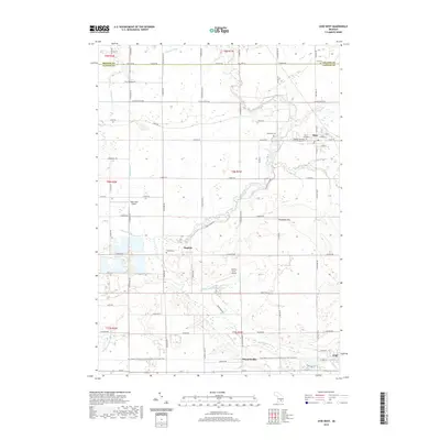
1974 Ovid West
Clinton County, MI
2011 Lansing North
Clinton County, MI
2011 Ovid West
Clinton County, MI
2011 Price
Clinton County, MI
2011 Saint Johns North
Clinton County, MI
2011 Saint Johns South
Clinton County, MI
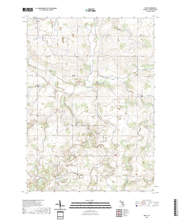
2012 Riley
Clinton County, MI
2014 Lansing North
Clinton County, MI
2014 Ovid West
Clinton County, MI
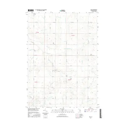
2014 Price
Clinton County, MI
2014 Riley
Clinton County, MI
2014 Saint Johns North
Clinton County, MI
2014 Saint Johns South
Clinton County, MI
2017 Lansing North
Clinton County, MI
2017 Ovid West
Clinton County, MI
2017 Price
Clinton County, MI
2017 Riley
Clinton County, MI
2017 Saint Johns North
Clinton County, MI
2017 Saint Johns South
Clinton County, MI
2019 Lansing North
Clinton County, MI
2019 Ovid West
Clinton County, MI
2019 Price
Clinton County, MI
2019 Riley
Clinton County, MI
2019 Saint Johns North
Clinton County, MI
2019 Saint Johns South
Clinton County, MI
2023 Lansing North
Clinton County, MI
2023 Ovid West
Clinton County, MI
2023 Price
Clinton County, MI
2023 Riley
Clinton County, MI
2023 Saint Johns North
Clinton County, MI
2023 Saint Johns South
Clinton County, MI