Loading...
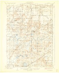
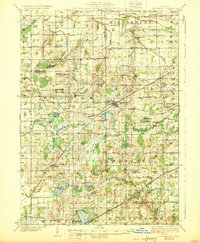
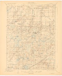
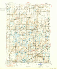
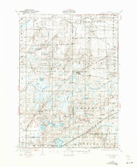
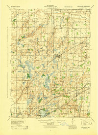
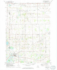
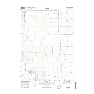
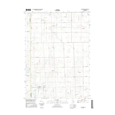
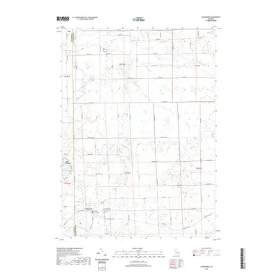
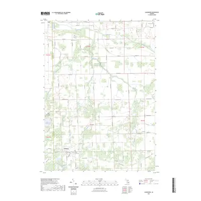
Loading map...1928 Map of Laingsburg
USGS Topo · Published 1928About this map
The Maple River and Lookingglass River systems define this central Michigan landscape in the late 1920s, a region where the intersection of three counties—Clinton, Shiawassee, and Ingham—is marked by a dense network of rural schoolhouses and family-named landmarks. The village of Laingsburg serves as a central hub, situated along the Michigan Central rail line. To the south, the Michigan Electric Railway and the Grand Trunk railroad cut through Shaftsburg and Haslett, illustrating the importance of transit in this agricultural era.
Find a feature on this map
101 named features on this map. Tap any name to fly to it.
Don’t see what you’re looking for? This feature index may not catch every label — zoom into the map to look around manually.
Map Details
Date Portrayed1928
Date Published1928
PublisherU.S. Geological Survey
Map TypeTopographic
Scale1:62,500
Physical Dimensions16.5 x 20.36 inches
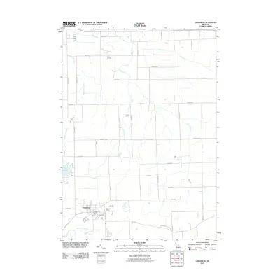
Editions of this 1928 Laingsburg Map
5 editions found
Historical Maps of East Lansing Through Time
8 maps found
Featured Locations
Source Details
SourceU.S. Geological Survey
CopyrightPublic Domain