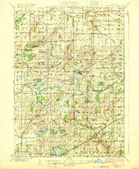
1928 Map of Laingsburg
USGS Topo · Published 1928About this map
Laingsburg and Bath serve as the primary hubs in this late 1920s survey of the tri-county borderlands of Clinton, Shiawassee, and Ingham. The landscape is a complex mosaic of glacial drainage, characterized by the Lookingglass River and the expansive Corey Marsh and Chandler Marsh. This era shows the dominance of the Michigan Central Railroad and the Grand Trunk Western Railroad in shaping local commerce, with tracks cutting through the wetland terrain to connect small rural depots. The map is exceptionally dense with rural educational history, noting dozens of local schoolhouses such as the uniquely named Octagon Sch, Bogus Sch, and Blood Sch. Small family and community landmarks like the Stilson Cem and Reed Church provide specific coordinates for genealogists tracing early twentieth-century residents in a region transitioning from isolated farmsteads toward a more connected rail-and-road economy along State Highway No 21.
Find a feature on this map
86 named features on this map. Tap any name to fly to it.
Don’t see what you’re looking for? This feature index may not catch every label — zoom into the map to look around manually.
Map Details
Editions of this 1928 Laingsburg Map
5 editions found

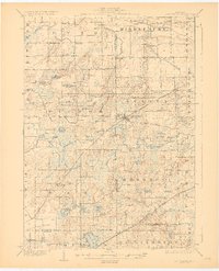
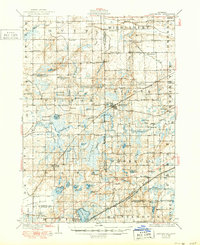
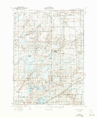
Other maps of this area

1908 · Fowlerville
USGS Topo · 1:62,500

1909 · Mason
USGS Topo · 1:62,500

1910 · Fowlerville
USGS Topo · 1:62,500

1910 · Lansing
USGS Topo · 1:62,500

1911 · Mason
USGS Topo · 1:62,500

1912 · Lansing
USGS Topo · 1:62,500

1917 · Chesaning
USGS Topo · 1:62,500

1918 · Elsie
USGS Topo · 1:62,500

1918 · Perrinton
USGS Topo · 1:62,500

1926 · Corunna
USGS Topo · 1:62,500