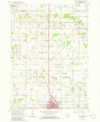
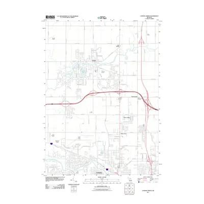
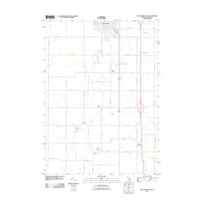
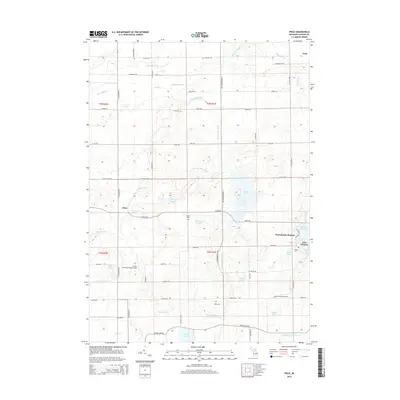
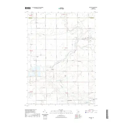
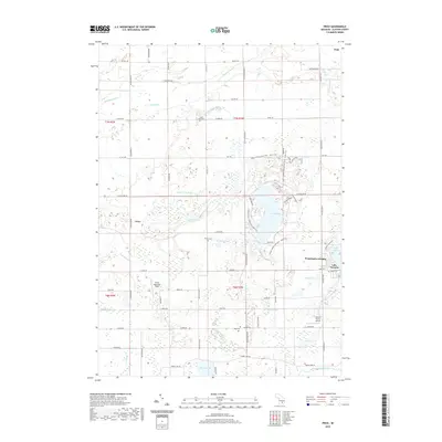
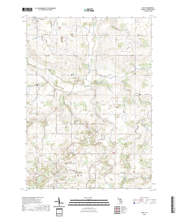
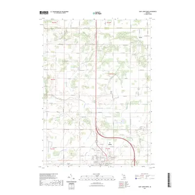
1965 Map of Riley
USGS Topo · Published 1982About this map
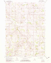
Agricultural patterns and a dense network of drainage canals define this part of Clinton County during the mid-1960s. The small settlement of Riley sits centrally, surrounded by a landscape divided into the townships of Dallas and Bengal and Westphalia and Riley. This area is characterized by its numerous family and community landmarks, including the Grange Hall and Townhall near the Bengal Center School.
Find a feature on this map
58 named features on this map. Tap any name to fly to it.
Don’t see what you’re looking for? This feature index may not catch every label — zoom into the map to look around manually.
Map Details
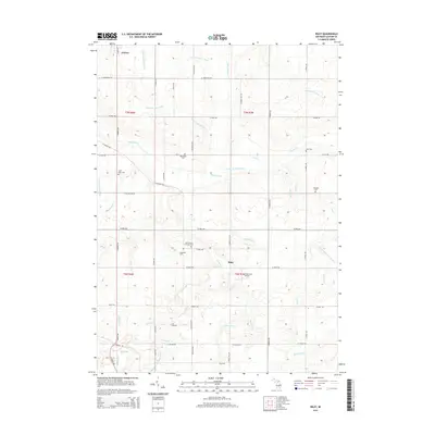
Editions of this 1965 Riley Map
2 editions found
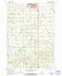
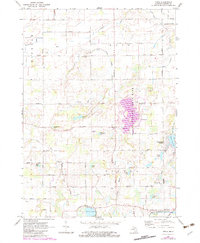
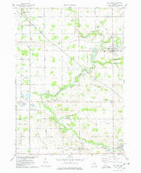
Historical Maps of Riley Through Time
37 maps found
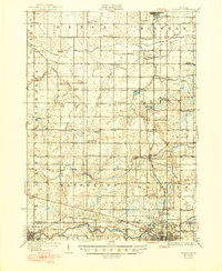
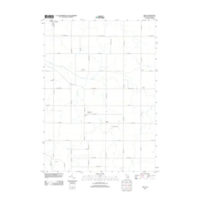
1927 De Witt
Clinton County, MI
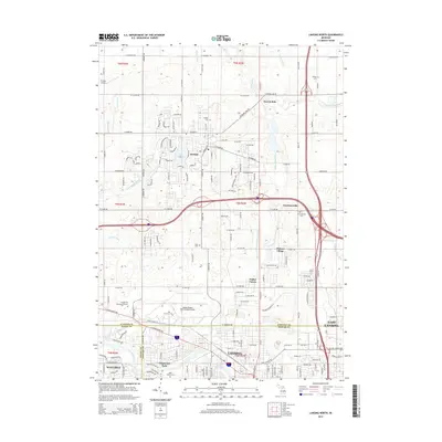
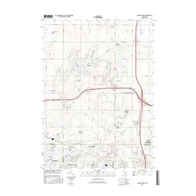
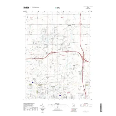
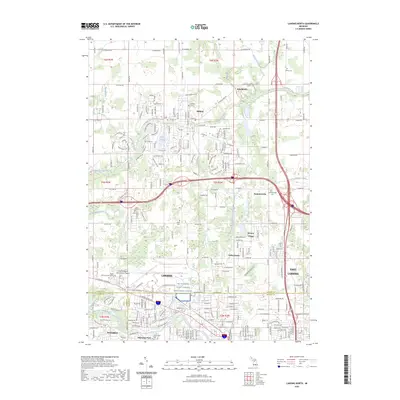
1965 Lansing North
Clinton County, MI
1965 Riley
Clinton County, MI
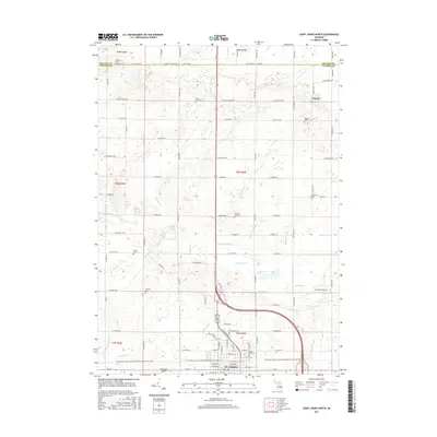
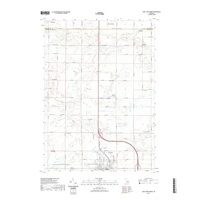
1965 St. Johns North
Clinton County, MI
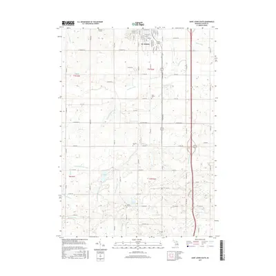
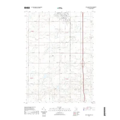
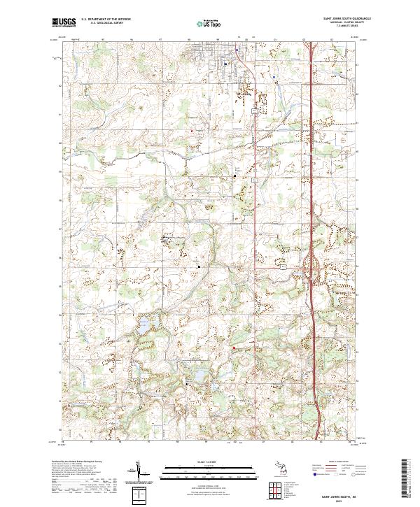
1965 St. Johns South
Clinton County, MI
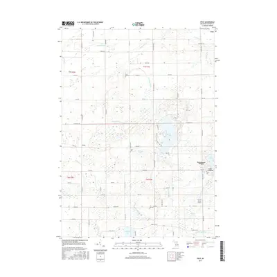
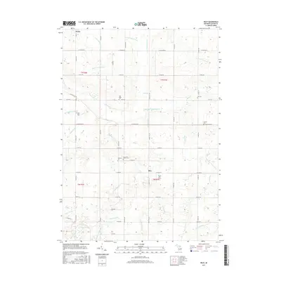
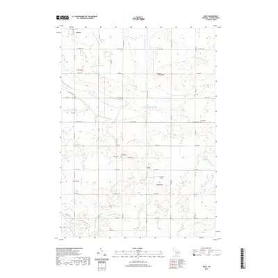
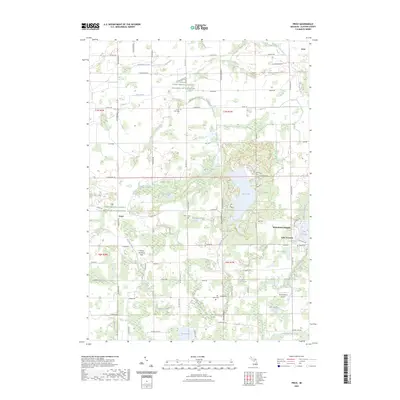
1972 Price
Clinton County, MI
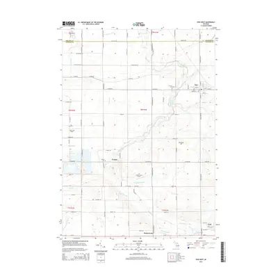
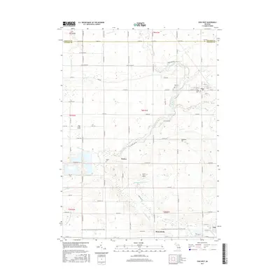
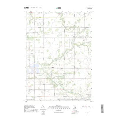
1974 Ovid West
Clinton County, MI
2011 Lansing North
Clinton County, MI
2011 Ovid West
Clinton County, MI
2011 Price
Clinton County, MI
2011 Saint Johns North
Clinton County, MI
2011 Saint Johns South
Clinton County, MI
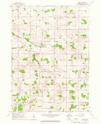
2012 Riley
Clinton County, MI
2014 Lansing North
Clinton County, MI
2014 Ovid West
Clinton County, MI
2014 Price
Clinton County, MI
2014 Riley
Clinton County, MI
2014 Saint Johns North
Clinton County, MI
2014 Saint Johns South
Clinton County, MI
2017 Lansing North
Clinton County, MI
2017 Ovid West
Clinton County, MI
2017 Price
Clinton County, MI
2017 Riley
Clinton County, MI
2017 Saint Johns North
Clinton County, MI
2017 Saint Johns South
Clinton County, MI
2019 Lansing North
Clinton County, MI
2019 Ovid West
Clinton County, MI
2019 Price
Clinton County, MI
2019 Riley
Clinton County, MI
2019 Saint Johns North
Clinton County, MI
2019 Saint Johns South
Clinton County, MI
2023 Lansing North
Clinton County, MI
2023 Ovid West
Clinton County, MI
2023 Price
Clinton County, MI
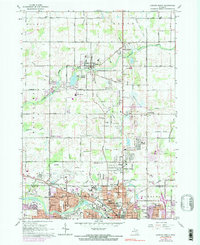
2023 Riley
Clinton County, MI
2023 Saint Johns North
Clinton County, MI
2023 Saint Johns South
Clinton County, MI
Featured Locations
- Bengal Township, MI
- Dallas Township, MI
- Riley Township, MI
- Fowler, Dallas Township
- Riley, Riley Township