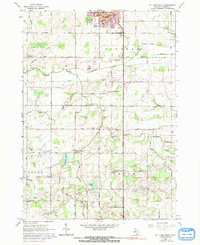
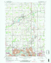
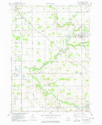
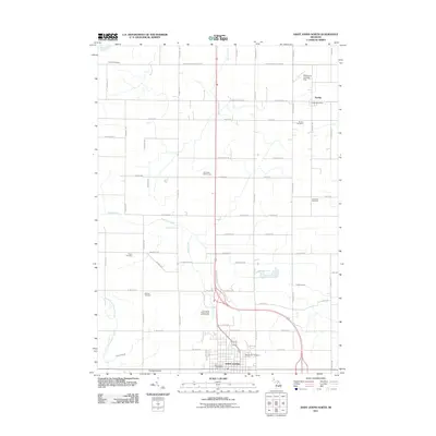
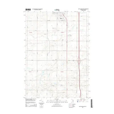
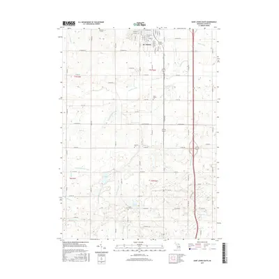
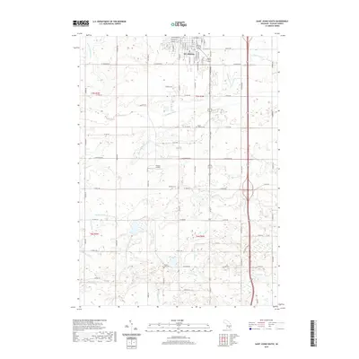
1965 Map of St. Johns South
USGS Topo · Published 1991About this map
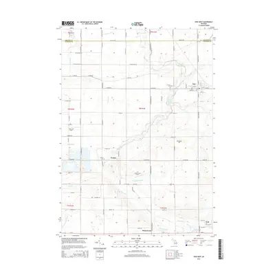
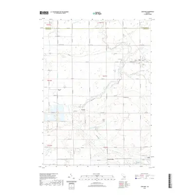
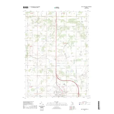
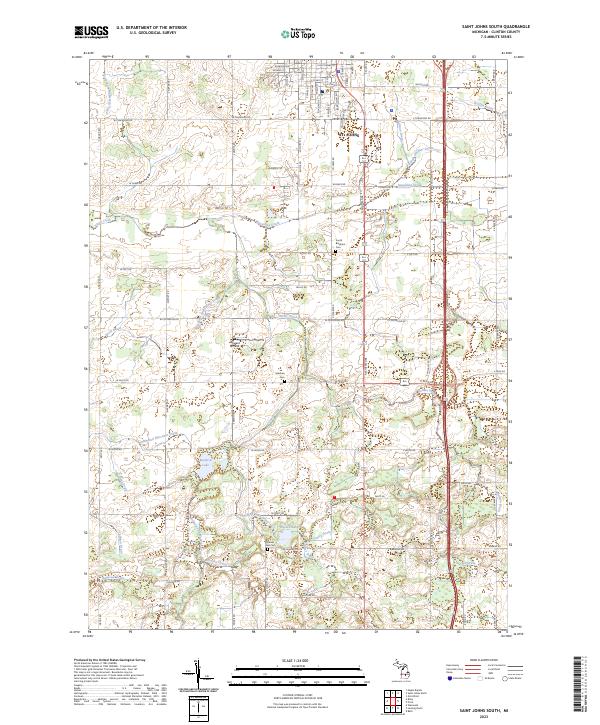
The agricultural landscape south of St Johns in Clinton County is defined by a rigorous grid of section roads and a complex network of named drainage canals essential for farming the low-lying terrain. During the mid-1960s, this area functioned as a transition between the established county seat and the surrounding townships of Bengal, Bingham, Riley, and Olive. The southern edge of the city shows concentrated civic infrastructure, including the High School and Hospital, while the southern reaches near Merle Beach reveal a more rural character focused on small water bodies like Muskrat Lake and Alward Lake.
Find a feature on this map
63 named features on this map. Tap any name to fly to it.
Don’t see what you’re looking for? This feature index may not catch every label — zoom into the map to look around manually.
Map Details
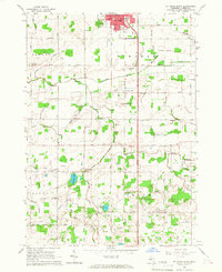
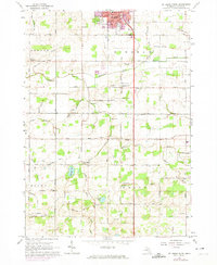
Editions of this 1965 St. Johns South Map
3 editions found
Historical Maps of St. Johns Through Time
37 maps found
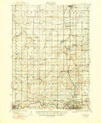
1927 De Witt
Clinton County, MI
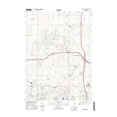
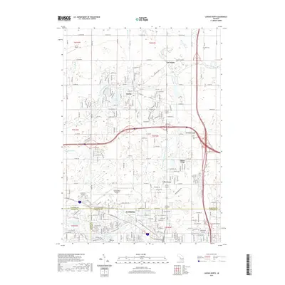
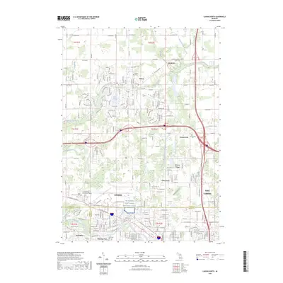
1965 Lansing North
Clinton County, MI
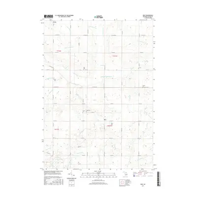
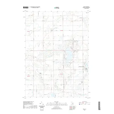
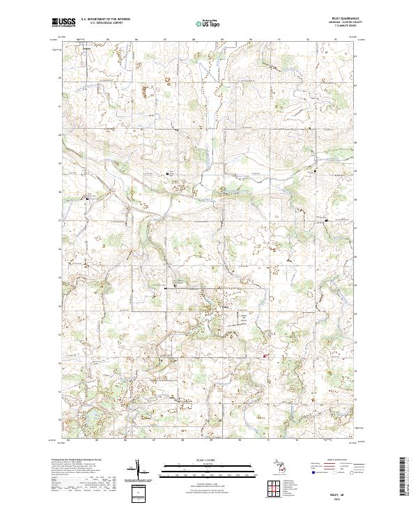
1965 Riley
Clinton County, MI
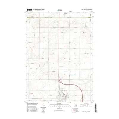
1965 St. Johns North
Clinton County, MI
1965 St. Johns South
Clinton County, MI
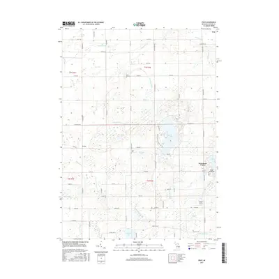
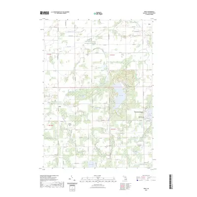
1972 Price
Clinton County, MI
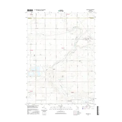
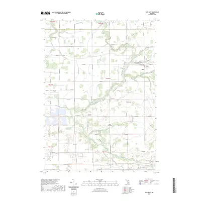
1974 Ovid West
Clinton County, MI
2011 Lansing North
Clinton County, MI
2011 Ovid West
Clinton County, MI
2011 Price
Clinton County, MI
2011 Saint Johns North
Clinton County, MI
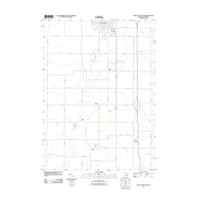
2011 Saint Johns South
Clinton County, MI
2012 Riley
Clinton County, MI
2014 Lansing North
Clinton County, MI
2014 Ovid West
Clinton County, MI
2014 Price
Clinton County, MI
2014 Riley
Clinton County, MI
2014 Saint Johns North
Clinton County, MI
2014 Saint Johns South
Clinton County, MI
2017 Lansing North
Clinton County, MI
2017 Ovid West
Clinton County, MI
2017 Price
Clinton County, MI
2017 Riley
Clinton County, MI
2017 Saint Johns North
Clinton County, MI
2017 Saint Johns South
Clinton County, MI
2019 Lansing North
Clinton County, MI
2019 Ovid West
Clinton County, MI
2019 Price
Clinton County, MI
2019 Riley
Clinton County, MI
2019 Saint Johns North
Clinton County, MI
2019 Saint Johns South
Clinton County, MI
2023 Lansing North
Clinton County, MI
2023 Ovid West
Clinton County, MI
2023 Price
Clinton County, MI
2023 Riley
Clinton County, MI
2023 Saint Johns North
Clinton County, MI
2023 Saint Johns South
Clinton County, MI