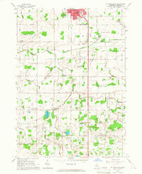
1965 Map of St. Johns South
USGS Topo · Published 1967About this map
St Johns anchors the northern edge of this 1960s agricultural survey, with the city's southern residential streets transitioning into the wide-open farmland of Bengal and Bingham townships. The landscape is a detailed grid of rural life, marked by numerous district schoolhouses such as Lamb Sch and Stone Creek Sch, alongside local landmarks like the South Bingham Ch and the Grange Hall. The southern reaches are defined by the lowlands of Olive township, where Muskrat Lake and Alward Lake feed into an extensive network of drainage ditches.
Find a feature on this map
53 named features on this map. Tap any name to fly to it.
Don’t see what you’re looking for? This feature index may not catch every label — zoom into the map to look around manually.
Map Details
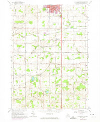
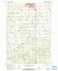
Editions of this 1965 St. Johns South Map
3 editions found
Other maps of this area

1918 · Elsie
USGS Topo · 1:62,500

1918 · Perrinton
USGS Topo · 1:62,500

1927 · De Witt
USGS Topo · 1:62,500

1928 · Laingsburg
USGS Topo · 1:62,500

1943 · Perrinton
USGS Topo · 1:62,500

1943 · Elsie
USGS Topo · 1:62,500

1944 · Laingsburg
USGS Topo · 1:62,500

1954 · Midland
USGS Topo · 1:250,000

1958 · Midland
USGS Topo · 1:250,000

1958 · Grand Rapids
USGS Topo · 1:250,000